Csongrád Ghetto
Located in Csongrád megye, Hungary Coordinates: 46°42′30″ N 20°08′37″ E
- Local time
- UTC+01:00
- Europe/Budapest · UTC+01:00
- Elevation
- 81 m
- above sea level
About Csongrád Ghetto
Csongrád Ghetto is a historic site. Location: Csongrád megye, Hungary.
Nearby attractions & nature
Everything nearby-
Szentes Ghetto Historic site, Csongrád megye11 km SE
-
Kunszentmárton Ghetto Historic site, Jász-Nagykun-Szolnok18 km NE
-
Mindszent Ghetto Historic site, Csongrád megye20 km S
-
Kiskunfélegyháza Ghetto Historic site, Bács-Kiskun county22 km W
Nearest towns and villages
-
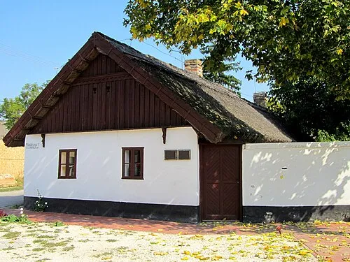 Csongrád City, Csongrád megye0.6 km N
-
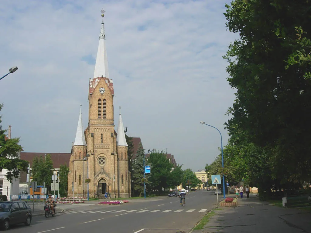 Szentes City, Csongrád megye11 km SE
-
Csanytelek Village, Csongrád megye13 km S
-
Tömörkény Village, Csongrád megye13 km SW
Sources & licences
Data last updated: · 2 independent sources