Kunhegyes Ghetto
Located in Jász-Nagykun-Szolnok, Hungary Coordinates: 47°22′00″ N 20°38′00″ E
- Local time
- UTC+01:00
- Europe/Budapest · UTC+01:00
- Elevation
- 88 m
- above sea level
About Kunhegyes Ghetto
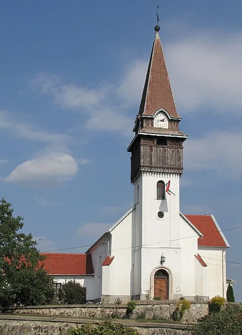
Kunhegyes Ghetto is a historic site. Location: Jász-Nagykun-Szolnok, Hungary.
Airports nearest to Kunhegyes Ghetto
- Debrecen International Airport (DEB) Debrecen 75 km
- Oradea International Airport (OMR) Oradea 103 km
- Budapest Liszt Ferenc International Airport (BUD) Budapest 104 km
Straight-line distance; airports with scheduled flights only. Source: OurAirports (public domain).
Nearest towns and villages
-
 Kunhegyes City, Jász-Nagykun-Szolnok<0.1 km N
-
Abádszalók Village, Jász-Nagykun-Szolnok11 km N
-
 Kenderes Town, Jász-Nagykun-Szolnok14 km S
-
Fegyvernek Town, Jász-Nagykun-Szolnok13 km SW
Sources & licences
Data last updated: · 2 independent sources