Tiszafüred Ghetto
Located in Jász-Nagykun-Szolnok, Hungary Coordinates: 47°37′00″ N 20°46′00″ E
- Local time
- UTC+01:00
- Europe/Budapest · UTC+01:00
- Elevation
- 86 m
- above sea level
About Tiszafüred Ghetto
Tiszafüred Ghetto is a historic site. Location: Jász-Nagykun-Szolnok, Hungary.
Airports nearest to Tiszafüred Ghetto
- Debrecen International Airport (DEB) Debrecen 65 km
- Oradea International Airport (OMR) Oradea 108 km
- Budapest Liszt Ferenc International Airport (BUD) Budapest 115 km
Straight-line distance; airports with scheduled flights only. Source: OurAirports (public domain).
Nearby attractions & nature
Everything nearby-
Mezőkeresztes Ghetto Historic site, Borsod-Abauj Zemplen county25 km N
-
Mezőcsát Ghetto Historic site, Borsod-Abauj Zemplen county25 km NE
Nearest towns and villages
-
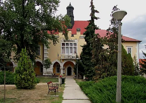 Tiszafüred City, Jász-Nagykun-Szolnok<0.1 km N
-
Tiszaszőlős Village, Jász-Nagykun-Szolnok7.5 km SW
-
Poroszló Village, Heves County8.4 km NW
-
Egyek Town, Hajdú-Bihar10 km E
Sources & licences
Data last updated: · 2 independent sources