Birreencorragh
Local name: An Birín Corrach
Located in County Mayo, Connacht Coordinates: 53°59′06″ N 9°29′14″ W
- Elevation
- 698 m
- above sea level
- Local time
- UTC+00:00
- Europe/Dublin · UTC+00:00
About Birreencorragh
Birreencorragh is a mountain. Location: County Mayo, Connacht. Elevation: 698 m.
Birreencorragh is a mountain in the Nephin Beg Range, County Mayo, Ireland, reaching 698 metres (2,290 ft) above sea level.
Read more on Wikipedia Text: Wikipedia contributors · CC BY-SA 4.0 · shortened
At a glance
- Topographic prominence
- 583 m
Source: Wikidata
In comparison
- No. 104 of 2106 mountains in Ireland by elevation
- 77 sights and natural places within 10 km Birreencorragh West Top, Glendorragha
Nearest towns and villages
-
Glendavoolagh Village, County Mayo2.6 km NW
-
Leamadartaun Village, County Mayo3.9 km NW
-
Letterbrick Village, County Mayo4 km NE
-
Coolnabinnia Village, County Mayo4 km NE
-
Gortnaheltia Village, County Mayo4.3 km S
-
Knockaunbaun Village, County Mayo4.4 km NE
Nearby attractions & nature
Everything nearby-
Birreencorragh West Top Mountain, County Mayo1 km W
-
Glendorragha Natural site, County Mayo1.4 km E
-
Knockaffertagh Mountain, County Mayo2.2 km E
-
Birreencorragh Beg Mountain, County Mayo2 km S
-
Mount Eagle Mountain, County Mayo2.2 km W
-
Bullaunmore Mountain, County Mayo4 km NW
-
Buckoogh Mountain, County Mayo4.4 km SW
-
Lough Nambrackkeagh Lake, County Mayo4.1 km SW
More nature in Ireland
-
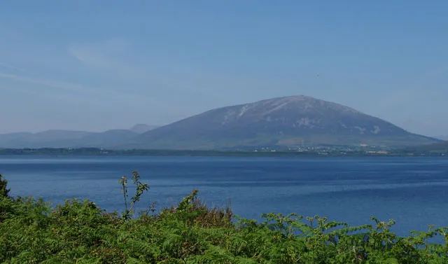 Nephin Mountain, County Mayo8.4 km E
-
Tristia Mountain, County Mayo6.5 km NE
-
Srahrevagh North Mountain, County Mayo4.7 km NW
-
Srahmore Mountain, County Mayo5.5 km W
-
Croaghmoyle Mountain, County Mayo9.9 km SE
-
Rinnagragh Natural site, County Mayo8.8 km SE
Sources & licences
Data last updated: · 2 independent sources