Partry Mountains
Local name: Sliabh Phartraí
Located in County Mayo, Connacht Coordinates: 53°39′00″ N 9°30′00″ W
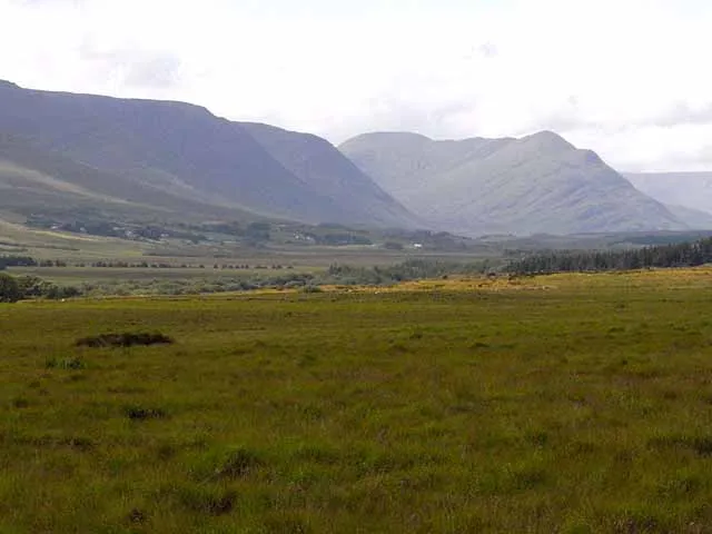
- Elevation
- 507 m
- above sea level
- Local time
- UTC+00:00
- Europe/Dublin · UTC+00:00
About Partry Mountains
Partry Mountains is a mountain. Location: County Mayo, Connacht. Elevation: 507 m.
The Partry Mountains (Irish: Sliabh Phartraí) is a mountain range in western Connacht, Ireland. It is in an area known as Partry, on the borders of County Mayo and County Galway. The mountains stand between Lough Mask (to the northeast), Lough Corrib (southeast), the Maam Valley (southwest) and the River Erriff (northwest). At the heart of the range is Lough Nafooey. The highest peak in the Partry Mountains is Maumtrasna, which rises to 682 metres (2,238 ft).
Read more on Wikipedia Text: Wikipedia contributors · CC BY-SA 4.0 · shortened
In comparison
- No. 464 of 2106 mountains in Ireland by elevation
- 22 sights and natural places within 10 km Barnahowna, Lough Glenawough
Nearest towns and villages
-
Derrinkee Village, County Mayo3.9 km N
-
Toormakeady Village, County Mayo8.8 km E
-
Cushlough Village, County Mayo6.1 km NW
-
Carrowkennedy Village, County Mayo6.5 km NW
-
Drimneen Village, County Mayo9.2 km E
-
Finny Village, County Mayo9.3 km S
Nearby attractions & nature
Everything nearby-
Barnahowna Mountain, County Mayo0.7 km SW
-
Lough Glenawough Lake, County Mayo1.1 km W
-
Tullymorehill Mountain, County Mayo4.5 km SE
-
Croaghrimkarra Mountain, County Mayo5.9 km NE
-
Maumtrasna Mountain, County Mayo6.2 km SW
-
Cross River River, County Mayo3.7 km N
-
 Devilsmother Mountain, County Galway11 km SW
-
Keelkill Mountain, County Mayo7.3 km N
More nature in Ireland
-
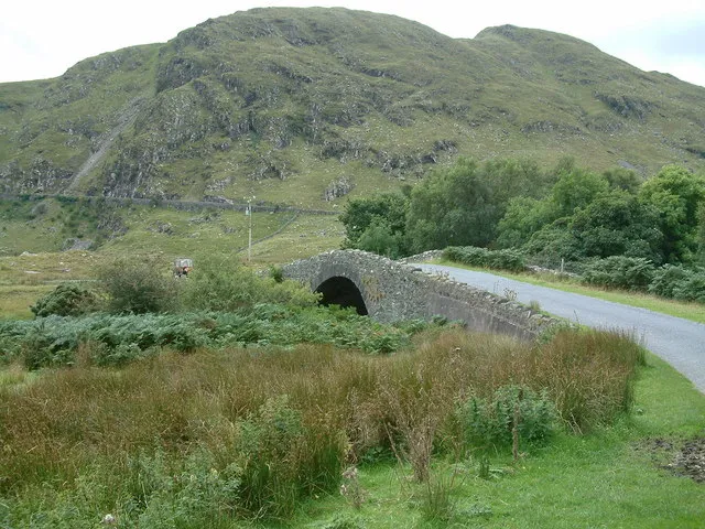 Sheeffry Hills East Top Mountain, County Mayo13 km W
-
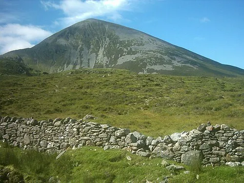 Croagh Patrick Mountain, County Mayo16 km NW
-
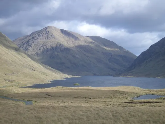 Ben Gorm Mountain, County Mayo15 km W
-
Glenbeg East Mountain, County Mayo8.3 km S
-
Cnoc Lair Mountain, County Mayo8.7 km SW
-
Carrowrevagh Mountain, County Mayo8.9 km NW
Sources & licences
Data last updated: · 2 independent sources