Devilsmother
Local name: Magairlí an Deamhain
Located in County Galway, Connacht Coordinates: 53°36′01″ N 9°38′23″ W

- Elevation
- 645 m
- above sea level
- Local time
- UTC+00:00
- Europe/Dublin · UTC+00:00
About Devilsmother
Devilsmother is a mountain. Location: County Galway, Connacht. Elevation: 645 m.
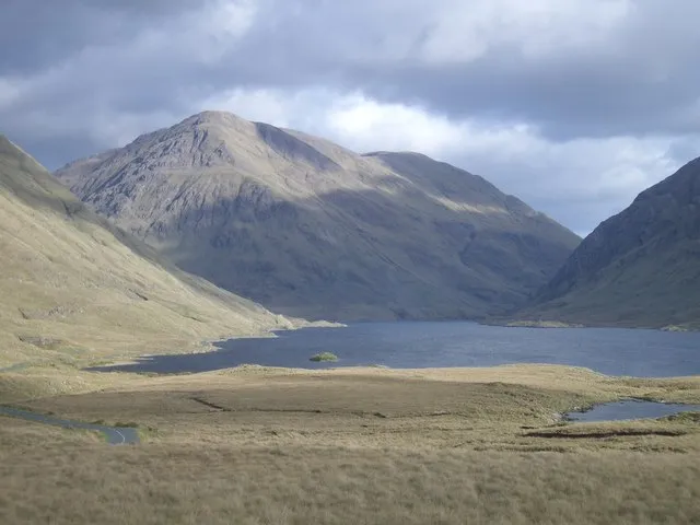
Devilsmother is a 645-metre-high (2,116 ft) mountain in Connemara, Ireland. Devilsmother is in the Partry Mountains, at the head of Killary Harbour, overlooking the Western Way long-distance path. It sits on the border between County Galway (to the south) and County Mayo (to the north).
Read more on Wikipedia Text: Wikipedia contributors · CC BY-SA 4.0 · shortened
At a glance
- Topographic prominence
- 280 m
Source: Wikidata
In comparison
- No. 184 of 2106 mountains in Ireland by elevation
- 44 sights and natural places within 10 km Devilsmother Far North Top, Cnoc Lair
Nearest towns and villages
-
Leenane Village, County Galway3.7 km W
-
Aasleagh Village, County Mayo2.5 km NW
-
Letterbrickaun Neighbourhood, County Galway3.5 km W
-
Derraheeda Village, County Galway3.7 km W
-
Bundorragha Village, County Mayo7.3 km W
-
Maum Village, County Galway10 km SE
Nearby attractions & nature
Everything nearby-
Devilsmother Far North Top Mountain, County Mayo1.9 km N
-
Cnoc Lair Mountain, County Mayo2.1 km E
-
Aasleagh falls Natural site, County Mayo2.9 km NW
-
Knocknafaughy Mountain, County Galway3.6 km SE
-
Rinavore Mountain, County Galway3.9 km S
-
Benwee Mountain, County Galway4.2 km SE
-
 Ben Gorm Mountain, County Mayo6 km NW
-
Tawnyard Lough Lake, County Mayo3.7 km N
Sources & licences
Data last updated: · 2 independent sources