Rinavore
Located in County Galway, Connacht Coordinates: 53°33′55″ N 9°38′13″ W
- Elevation
- 426 m
- above sea level
- Local time
- UTC+00:00
- Europe/Dublin · UTC+00:00
About Rinavore
Rinavore is a mountain. Location: County Galway, Connacht. Elevation: 426 m.
In comparison
- No. 694 of 2106 mountains in Ireland by elevation
- 44 sights and natural places within 10 km Binn Ui Chuinneain, Knocknafaughy
Nearest towns and villages
-
Leenane Village, County Galway5.1 km NW
-
Derraheeda Village, County Galway5 km NW
-
Letterbrickaun Neighbourhood, County Galway5.1 km NW
-
Cur Village, County Galway5.9 km SE
-
Maum Village, County Galway7.1 km SE
-
Aasleagh Village, County Mayo6 km N
Nearby attractions & nature
Everything nearby-
 Devilsmother Mountain, County Galway3.9 km N
-
Binn Ui Chuinneain Mountain, County Galway2.4 km E
-
Knocknafaughy Mountain, County Galway2.5 km NE
-
Binn Ui Chuinneain (mullach theas) Mountain, County Galway2.7 km SE
-
Taobh Dubh Mountain, County Galway2.8 km SW
-
Leenaun Hill Far South East Top Mountain, County Galway3.3 km W
-
An Binn Bheag Mountain, County Galway3.5 km E
-
Binn Ui Chuinneain (mullach thoir theas) Mountain, County Galway3.9 km SE
More nature in Ireland
-
Log na Brice (mullach thoir thuaidh) Mountain, County Galway5.7 km SE
-
Benwee Mountain, County Galway4.1 km NE
-
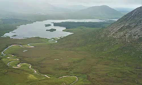 Lissoughter Mountain, County Galway11 km SW
-
An Meall Dubh Mountain, County Galway4.3 km W
-
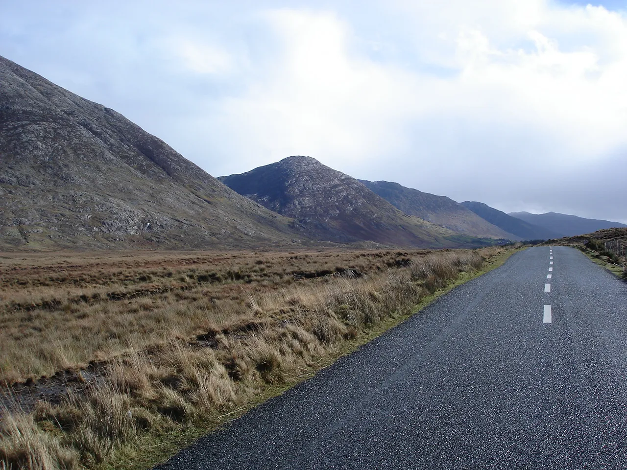 Maumturk Mountains Mountain, County Galway6.9 km SW
-
Culog Mountain, County Galway5.1 km SW
Sources & licences
Data last updated: