Leenaun Hill Far North West Top
Located in County Galway, Connacht Coordinates: 53°34′53″ N 9°43′14″ W
- Elevation
- 556 m
- above sea level
- Local time
- UTC+00:00
- Europe/Dublin · UTC+00:00
- Airports
- NOC Ireland West Airport Knock70 km
- SNN Shannon Airport111 km
About Leenaun Hill Far North West Top
Leenaun Hill Far North West Top is a mountain. Location: County Galway, Connacht. Elevation: 556 m. The nearest airport is Ireland West Airport Knock (70 km). Nearby sights include An Meall Dubh barr thiar thuaidh and Bucan.
Photos of Leenaun Hill Far North West Top
-
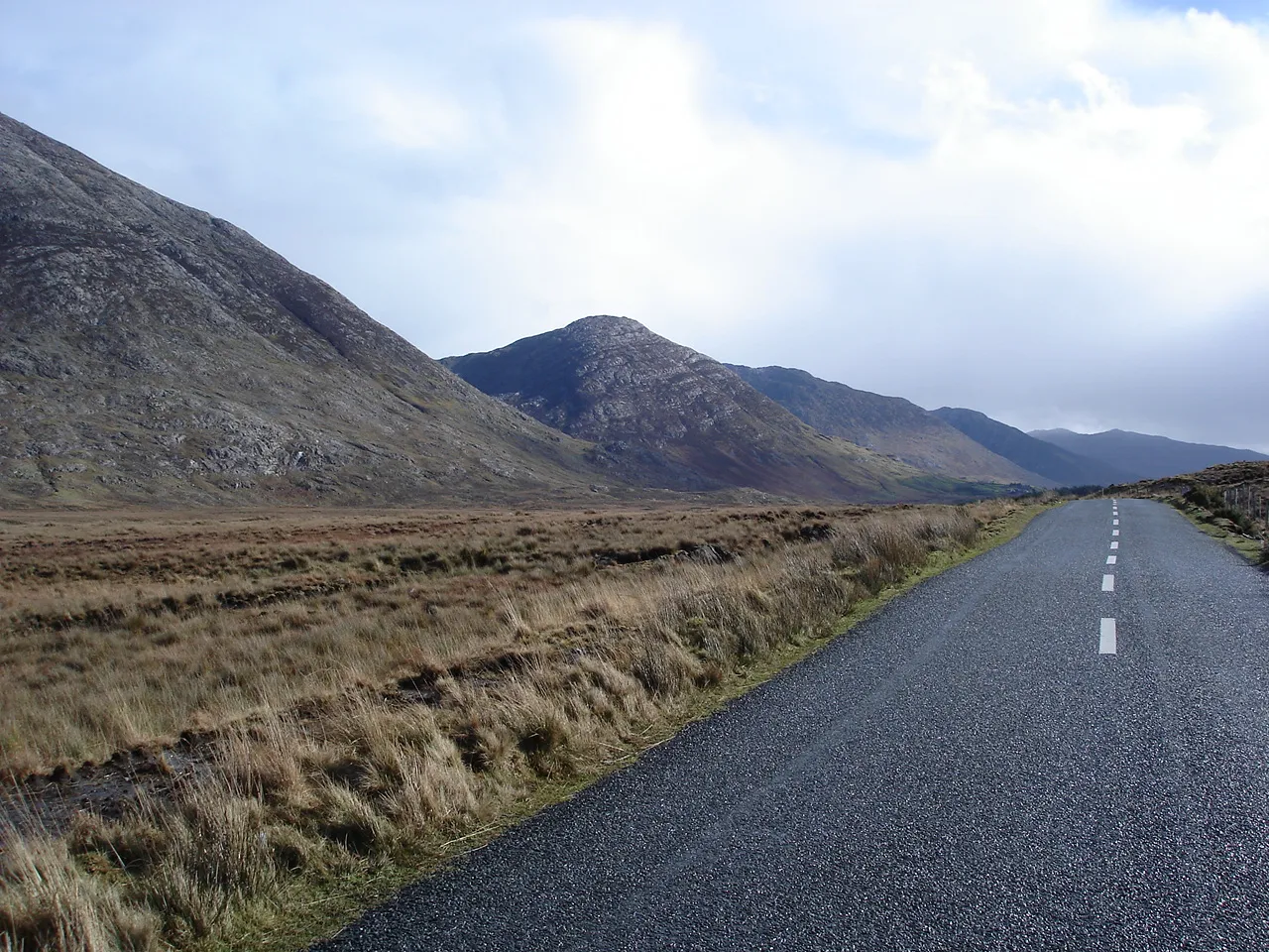
Maumturk Mountains Joebater at English Wikipedia · CC BY-SA 3.0 -
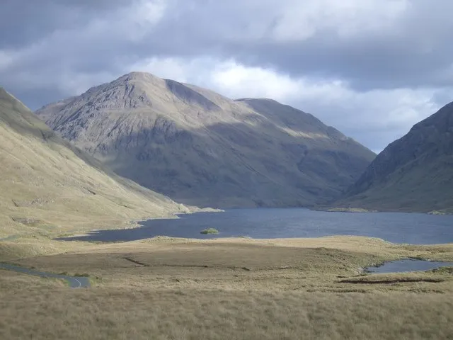
Ben Gorm Keith Salvesen · CC BY-SA 2.0 -

Devilsmother Keith Salvesen · CC BY-SA 2.0


Climate of Leenaun Hill Far North West Top
This month · November
A wet month
Day 7° · Night 2° · Rain 161 mm
- Hottest month
- August (day 15°)
- Coldest month
- January (night 0°)
- Wettest month
- January (162 mm)
- Driest month
- April (82 mm)
Bars: average monthly low and high temperature. Below: precipitation. Monthly averages for 1970–2000 at about 18 km resolution, adjusted for elevation. Highlighted months are mild and relatively dry. Source: WorldClim 2.1 (CC BY 4.0).
Show values as a table
| Month | Jan | Feb | Mar | Apr | May | Jun | Jul | Aug | Sep | Oct | Nov | Dec |
|---|---|---|---|---|---|---|---|---|---|---|---|---|
| Average high (°C) | 5° | 6° | 7° | 9° | 12° | 14° | 15° | 15° | 13° | 10° | 7° | 6° |
| Average low (°C) | 0° | 0° | 1° | 2° | 4° | 7° | 9° | 9° | 7° | 5° | 2° | 1° |
| Precipitation (mm) | 162 | 106 | 122 | 82 | 94 | 86 | 91 | 115 | 137 | 158 | 161 | 159 |
How to get to Leenaun Hill Far North West Top
The nearest airport is Ireland West Airport Knock (NOC), 70 km to the northeast as the crow flies. The nearest large city is Limerick, 126 km to the southeast.
Airports
- Ireland West Airport Knock (NOC) Charlestown 70 kmnortheast
- Shannon Airport (SNN) Shannon 111 kmsoutheast
- Kerry Airport (KIR) Farranfore 156 kmsouth
Nearby large cities
- Limerick Population: 102.3K 126 kmsoutheast
- Cork Population: 224K 205 kmsoutheast
- Dublin Population: 1M 232 kmeast
- Belfast Population: 348K 273 kmnortheast
Straight-line distances; road distances are longer. Airport data: OurAirports.
Day trips from Leenaun Hill Far North West Top
Within 100 km: 157 historic and cultural sites, 466 natural sites, 1,109 lakes, rivers and coasts.
0–25 km271 places
- Hare Island Island 22 kmSE
- Crump Island Island 19 kmW
- Crow Island Island 25 kmS
- Oghly Island Island 24 kmSW
25–60 km801 places
- Gorumna Island Island 36 kmS
- Inisheer Island 60 kmS
- Inishlyre Island 27 kmN
- Dooniver Strand Beach 49 kmN
60–100 km660 places
- White Strand Beach 93 kmS
- Pig Island Island 84 kmN
- Mutton Island Island 87 kmS
- Kid Island Island 84 kmN
Straight-line distances.
Nearest towns and villages
-
 Leenane Village, County Galway2.4 km NE
-
Derraheeda Village, County Galway2.2 km NE
-
Letterbrickaun Neighbourhood, County Galway2.6 km NE
-
Bundorragha Village, County Mayo2.9 km NW
-
Aasleagh Village, County Mayo5.3 km NE
-
Derreennanalbanagh Village, County Mayo7.1 km NW
Nearby attractions & nature
Everything nearby-
An Meall Dubh barr thiar thuaidh Mountain, County Galway0.7 km S
-
Bucan Mountain, County Galway0.9 km W
-
An Meall Dubh Mountain, County Galway1.7 km SE
-
Ben Gorm Mountain, County Mayo4.8 km N
-
Leenaun Hill Far South East Top Mountain, County Galway3.6 km SE
-
Devilsmother Mountain, County Galway5.8 km E
-
Binn Bhriocain NE Top Mountain, County Galway5 km S
-
Ben Creggan Mountain, County Mayo6.2 km N
More nature in Ireland
-
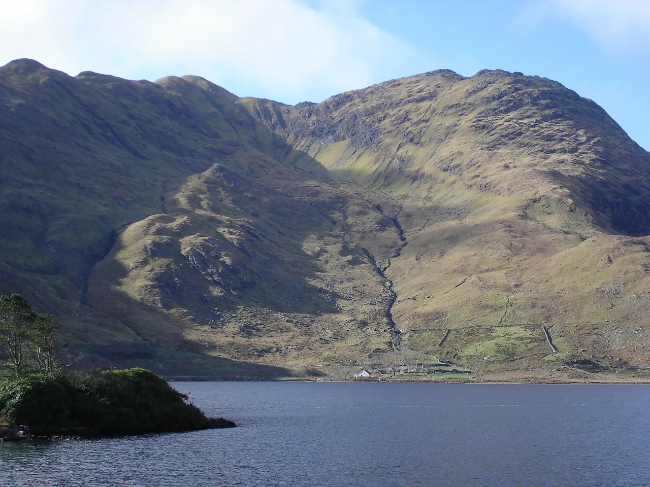 Garraun Mountain, County Galway9.4 km W
-
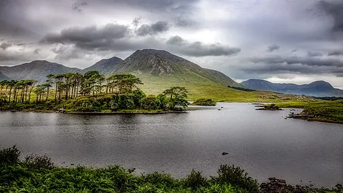 Derryclare Mountain, County Galway10 km SW
-
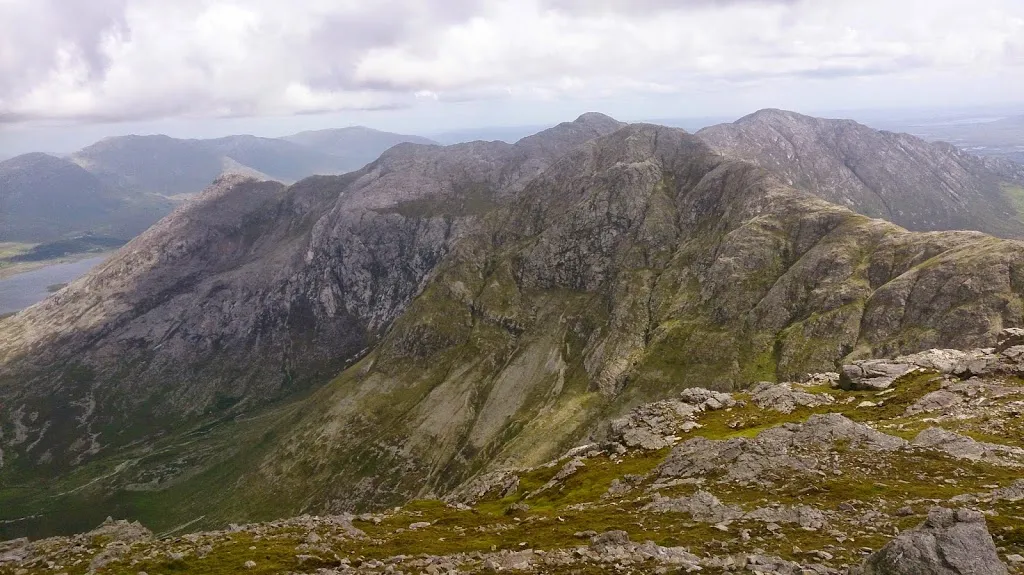 Bencollaghduff Mountain, County Galway9.9 km SW
-
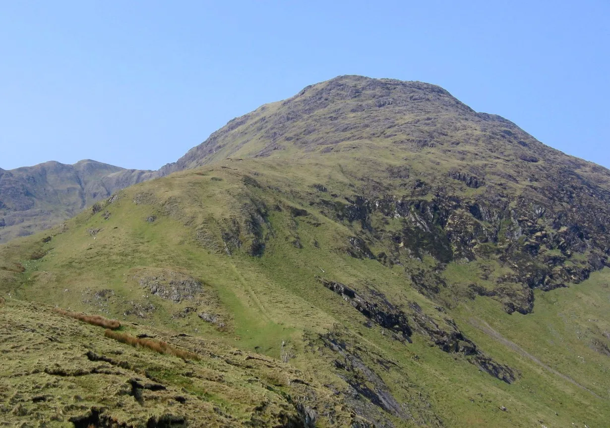 Benchoona Mountain, County Galway9.9 km W
-
Maumturk Mountains Mountain, County Galway7.3 km S
-
Taobh Dubh Mountain, County Galway5.2 km SE
Sources & licences
Data last updated: