Derryclare
Local name: Doire an Chláir
Located in County Galway, Connacht Coordinates: 53°29′45″ N 9°47′11″ W
- Elevation
- 673 m
- above sea level
- Local time
- UTC+00:00
- Europe/Dublin · UTC+00:00
About Derryclare
Derryclare is a mountain. Location: County Galway, Connacht. Elevation: 673 m.
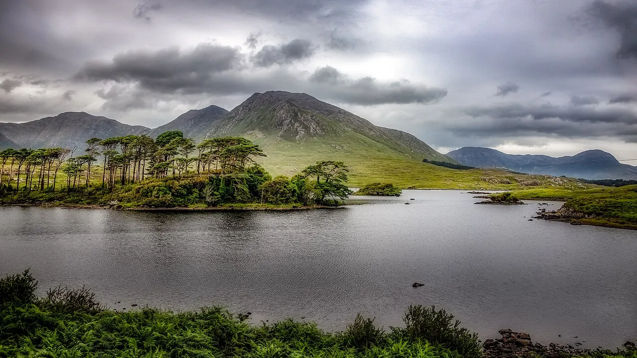
Derryclare or Derryclare Mountain (Irish: Binn Doire Chláir) is a mountain at the southern edge of Twelve Bens range in Connemara National Park in County Galway, Ireland. At 677 metres (2,221 ft), it is the 119th–highest peak in Ireland on the Arderin list, and the 145th–highest peak on the Vandeleur-Lynam list. It is the 5th tallest of the core Twelve Bens.
Read more on Wikipedia Text: Wikipedia contributors · CC BY-SA 4.0 · shortened
At a glance
- Topographic prominence
- 129 m
Source: Wikidata
In comparison
- No. 135 of 2106 mountains in Ireland by elevation
- 50 sights and natural places within 10 km Bencorr, Glencoaghan River
Climate of Derryclare
| Month | Jan | Feb | Mar | Apr | May | Jun | Jul | Aug | Sep | Oct | Nov | Dec |
|---|---|---|---|---|---|---|---|---|---|---|---|---|
| Average high (°C) | 5° | 5° | 6° | 8° | 11° | 13° | 14° | 14° | 12° | 10° | 7° | 5° |
| Average low (°C) | -1° | -1° | 0° | 1° | 3° | 6° | 8° | 8° | 6° | 4° | 1° | 0° |
| Precipitation (mm) | 141 | 90 | 101 | 69 | 82 | 77 | 82 | 103 | 123 | 138 | 142 | 141 |
Monthly averages for 1970–2000 at about 18 km resolution, adjusted for elevation. Highlighted months are mild and relatively dry. Source: WorldClim 2.1 (CC BY 4.0).
Airports nearest to Derryclare
- Ireland West Airport Knock (NOC) Charlestown 79 km
- Shannon Airport (SNN) Shannon 106 km
- Kerry Airport (KIR) Farranfore 147 km
Straight-line distance; airports with scheduled flights only. Source: OurAirports (public domain).
Nearest towns and villages
-
Recess Village, County Galway5.1 km SE
-
Emlaghdauroe Village, County Galway7.8 km W
-
Toombeola Village, County Galway8.7 km SW
-
Letterfrack Village, County Galway12 km NW
-
Cashel Village, County Galway8.6 km S
-
Roundstone Village, County Galway14 km SW
Nearby attractions & nature
Everything nearby-
Bencorr Mountain, County Galway1.3 km N
-
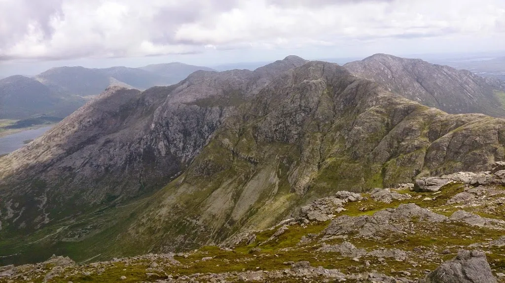 Bencollaghduff Mountain, County Galway2.6 km NW
-
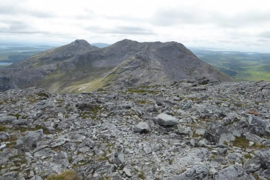 Benbreen Mountain, County Galway3.2 km W
-
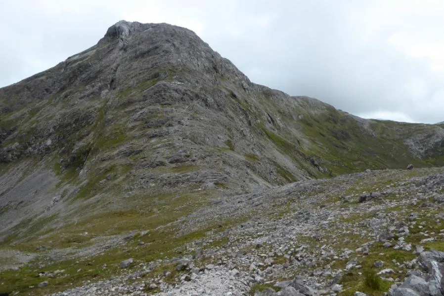 Bengower Mountain, County Galway3.2 km W
-
Bencorrbeg Mountain, County Galway2.2 km N
-
Glen Coaghan Horseshoe Mountain, Ireland3 km NW
-
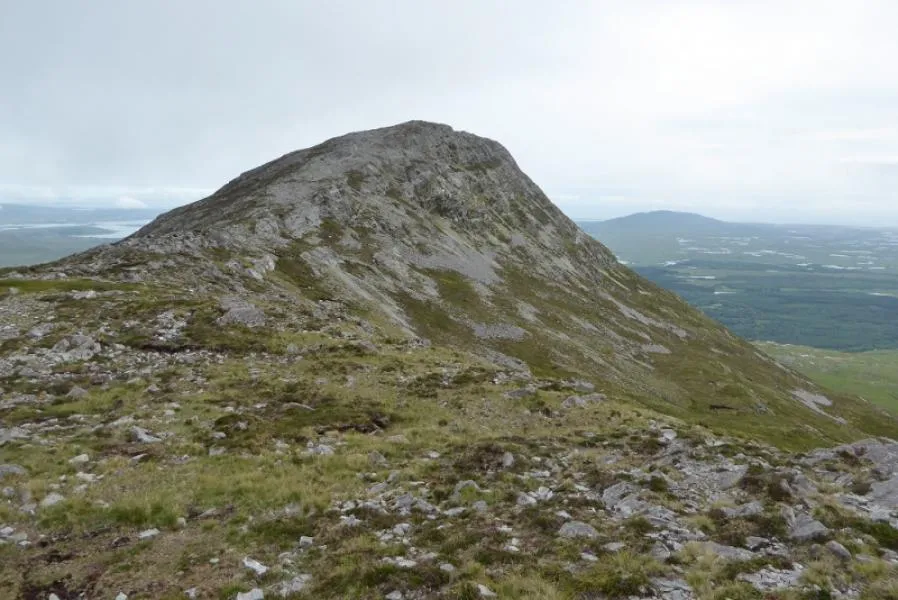 Bendouglas Mountain, County Galway4.3 km W
-
The Twelve Pins Mountain, County Galway3.2 km W
More nature in Ireland
-
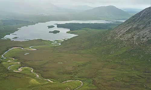 Lissoughter Mountain, County Galway4.7 km E
-
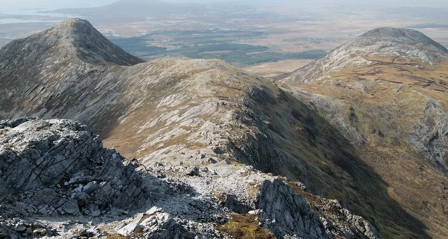 Benglenisky Mountain, County Galway5 km W
-
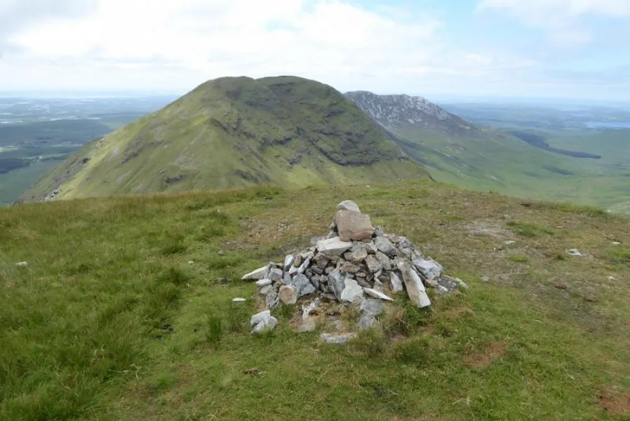 Muckanaght Mountain, County Galway5.7 km NW
-
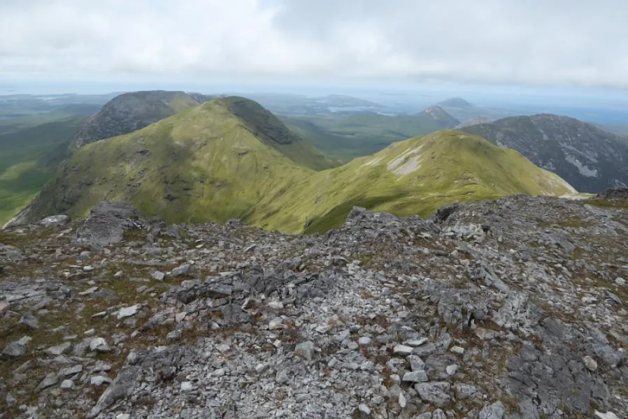 Bencullagh Mountain, County Galway6.6 km NW
-
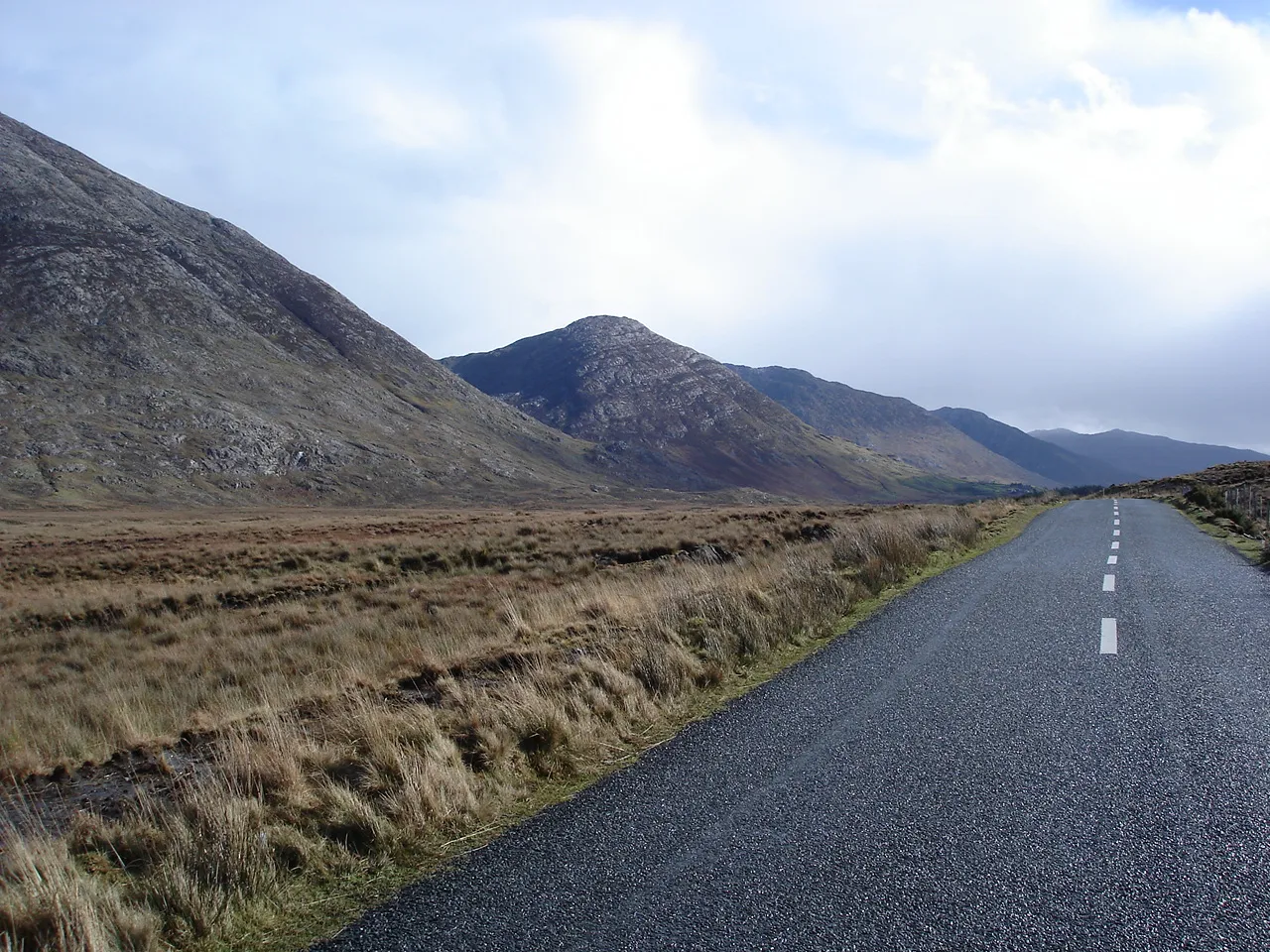 Maumturk Mountains Mountain, County Galway6.2 km E
-
Benbaun Mountain, County Galway3.9 km NW
Sources & licences
Data last updated: · 2 independent sources