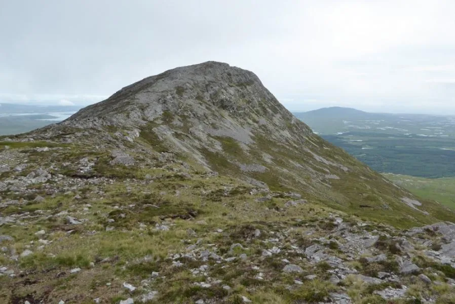
- Elevation
- 577 m
- above sea level
- Local time
- UTC+00:00
- Europe/Dublin · UTC+00:00
- Airports
- NOC Ireland West Airport Knock83 km
- SNN Shannon Airport106 km
About Bendouglas
Bendouglas is a mountain. Location: County Galway, Connacht. Elevation: 577 m.
Benlettery (Irish: Binn Leitrí, meaning 'Peak of the Wet Hillsides') at 557 metres (1,827 ft), is the 259th–highest peak in Ireland on the Arderin scale. Benlettery is in the southernmost peak of the Twelve Bens mountain range in the Connemara National Park in County Galway, Ireland, and is the 11th-tallest of the core Twelve Bens. The Ben Lettery An Oige youth hostel is on the southern slopes of Benlettery, off the N59 road to Clifden.
Source: Wikipedia · CC BY-SA 4.0
At a glance
- Topographic prominence
- 62 m
Source: Wikidata
Climate of Bendouglas
This month · November
A wet month
Day 8° · Night 2° · Rain 138 mm
- Hottest month
- August (day 15°)
- Coldest month
- February (night 0°)
- Wettest month
- January (141 mm)
- Driest month
- April (65 mm)
Bars: average monthly low and high temperature. Below: precipitation. Monthly averages for 1970–2000 at about 18 km resolution, adjusted for elevation. Highlighted months are mild and relatively dry. Source: WorldClim 2.1 (CC BY 4.0).
Show values as a table
| Month | Jan | Feb | Mar | Apr | May | Jun | Jul | Aug | Sep | Oct | Nov | Dec |
|---|---|---|---|---|---|---|---|---|---|---|---|---|
| Average high (°C) | 5° | 6° | 7° | 9° | 11° | 13° | 15° | 15° | 13° | 10° | 8° | 6° |
| Average low (°C) | 0° | 0° | 1° | 2° | 4° | 7° | 9° | 8° | 7° | 5° | 2° | 1° |
| Precipitation (mm) | 141 | 87 | 99 | 65 | 78 | 75 | 82 | 102 | 121 | 135 | 138 | 139 |
How to get to Bendouglas
The nearest airport is Ireland West Airport Knock (NOC), 83 km to the northeast as the crow flies. The nearest large city is Limerick, 122 km to the southeast.
Airports
- Ireland West Airport Knock (NOC) Charlestown 83 kmnortheast
- Shannon Airport (SNN) Shannon 106 kmsoutheast
- Kerry Airport (KIR) Farranfore 146 kmsouth
Nearby large cities
- Limerick Population: 102.3K 122 kmsoutheast
- Cork Population: 224K 199 kmsoutheast
- Dublin Population: 1M 240 kmeast
- Belfast Population: 348K 285 kmnortheast
Straight-line distances; road distances are longer. Airport data: OurAirports.
Nearest towns and villages
-
Emlaghdauroe Village, County Galway3.6 km W
-
Toombeola Village, County Galway5.3 km S
-
Clifden Village, County Galway12 km W
-
Letterfrack Village, County Galway10 km NW
-
Roundstone Village, County Galway11 km SW
-
Cashel Village, County Galway7.6 km SE
Nearby attractions & nature
Everything nearby-
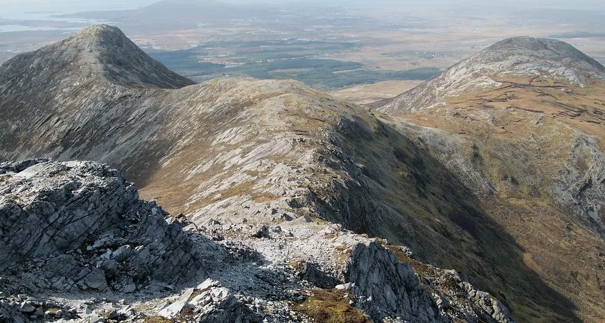 Benglenisky Mountain, County Galway1 km NW
-
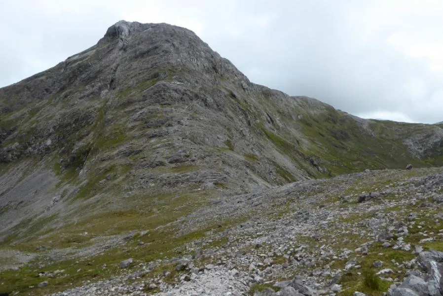 Bengower Mountain, County Galway1.4 km NE
-
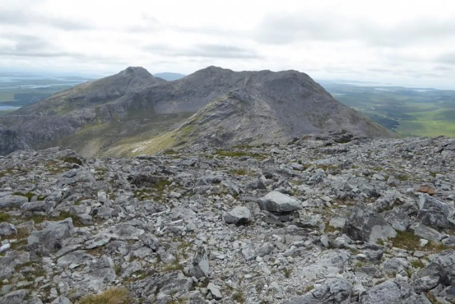 Benbreen Mountain, County Galway2.2 km N
-
The Twelve Pins Mountain, County Galway2.2 km N
-
Ballynahinch Lake Lake, County Galway1.8 km SE
-
Glen Coaghan Horseshoe Mountain, Ireland3 km NE
-
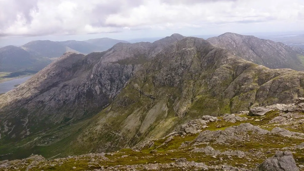 Bencollaghduff Mountain, County Galway4 km NE
-
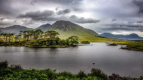 Derryclare Mountain, County Galway4.3 km E
More nature in Ireland
-
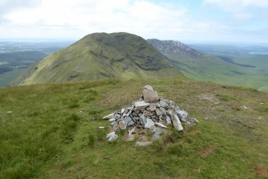 Muckanaght Mountain, County Galway4.6 km N
-
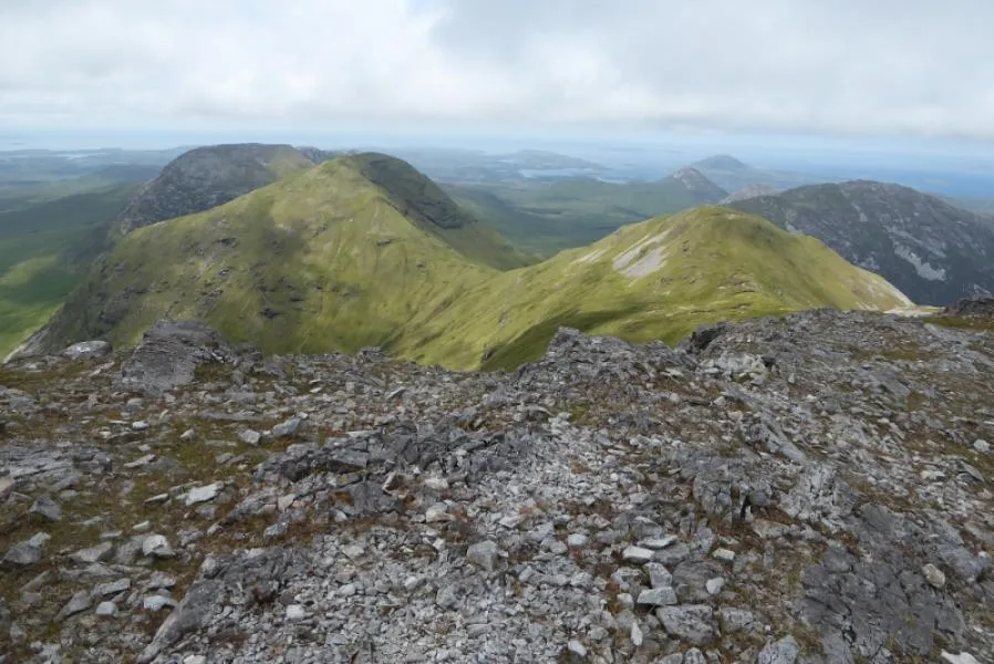 Bencullagh Mountain, County Galway4.7 km NW
-
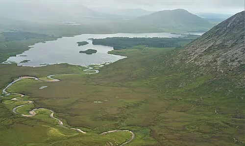 Lissoughter Mountain, County Galway8.5 km E
-
Cregg Mountain, County Galway6.7 km NW
-
Tievebaun Mountain, County Galway5.5 km NW
-
Benbaun Mountain, County Galway4 km N
Sources & licences
Data last updated: · 2 independent sources