Benbreen
Local name: Binn Braoin
Located in County Galway, Connacht Coordinates: 53°29′59″ N 9°50′05″ W
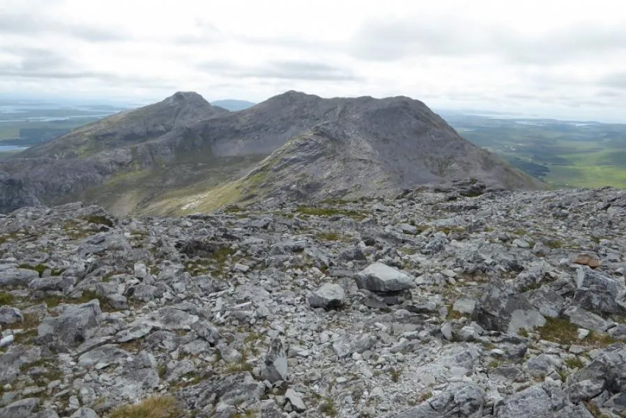
- Elevation
- 691 m
- above sea level
- Local time
- UTC+00:00
- Europe/Dublin · UTC+00:00
About Benbreen
Benbreen is a mountain. Location: County Galway, Connacht. Elevation: 691 m.
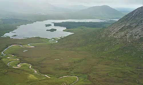
Benbreen (Irish: Binn Braoin, meaning 'Braon's Peak') at 691 metres (2,267 ft), is the 100th–highest peak in Ireland on the Arderin scale, and the 122nd–highest peak on the Vandeleur-Lynam scale. Benbreen lies in the southern end of the Twelve Bens mountain range in the Connemara National Park in County Galway, Ireland. Benbreen is the 4th-tallest mountain of the Twelve Bens range, after Benbaun 729 metres (2,392 ft), Bencorr 711 metres (2,333 ft), and Bencollaghduff 696 metres (2,283 ft).
Read more on Wikipedia Text: Wikipedia contributors · CC BY-SA 4.0 · shortened
At a glance
- Topographic prominence
- 186 m
Source: Wikidata
In comparison
- No. 113 of 2106 mountains in Ireland by elevation
- 58 sights and natural places within 10 km The Twelve Pins, Glen Coaghan Horseshoe
Nearest towns and villages
-
Emlaghdauroe Village, County Galway5 km SW
-
Letterfrack Village, County Galway9.5 km NW
-
Toombeola Village, County Galway7.5 km S
-
Clifden Village, County Galway12 km W
-
Recess Village, County Galway8 km SE
-
Tullywee Bridge Village, County Galway8.8 km NW
Nearby attractions & nature
Everything nearby-
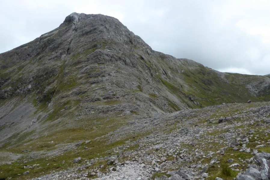 Bengower Mountain, County Galway0.9 km S
-
The Twelve Pins Mountain, County Galway0.1 km NE
-
Glen Coaghan Horseshoe Mountain, Ireland0.8 km NE
-
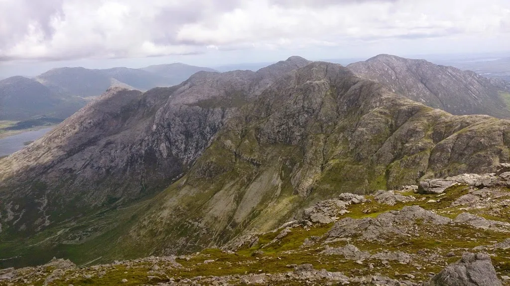 Bencollaghduff Mountain, County Galway2 km NE
-
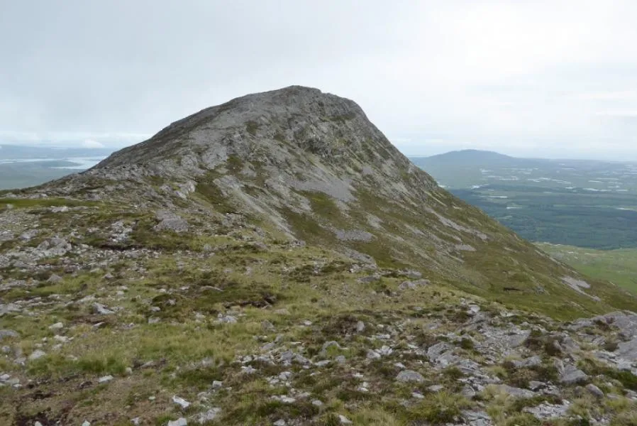 Bendouglas Mountain, County Galway2.2 km S
-
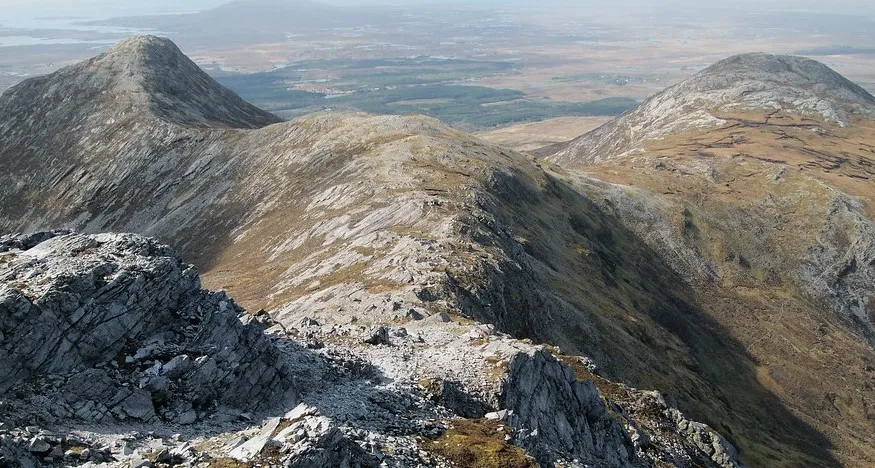 Benglenisky Mountain, County Galway2.3 km SW
-
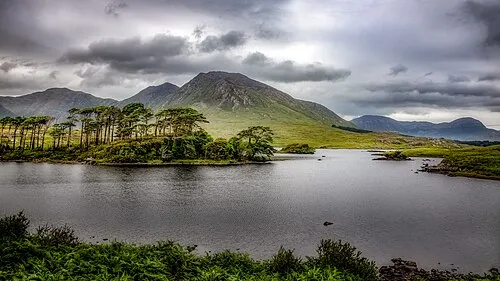 Derryclare Mountain, County Galway3.2 km E
-
Benbaun Mountain, County Galway1.9 km N
More nature in Ireland
-
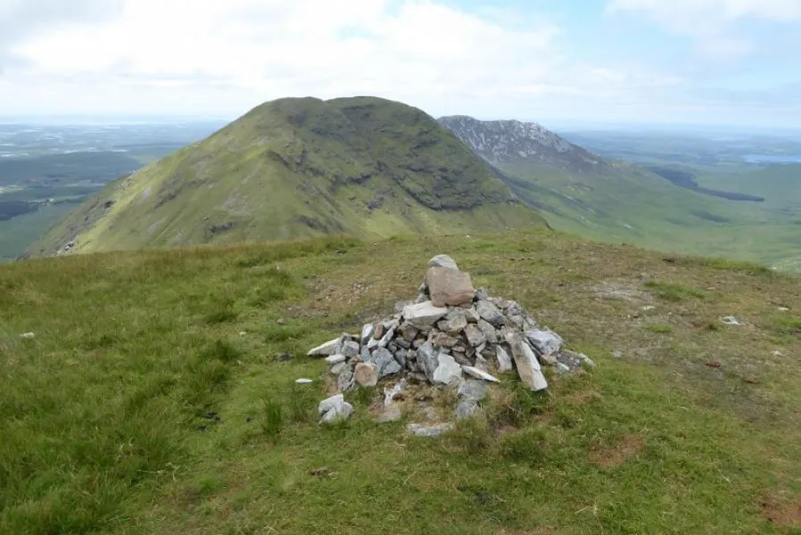 Muckanaght Mountain, County Galway3 km NW
-
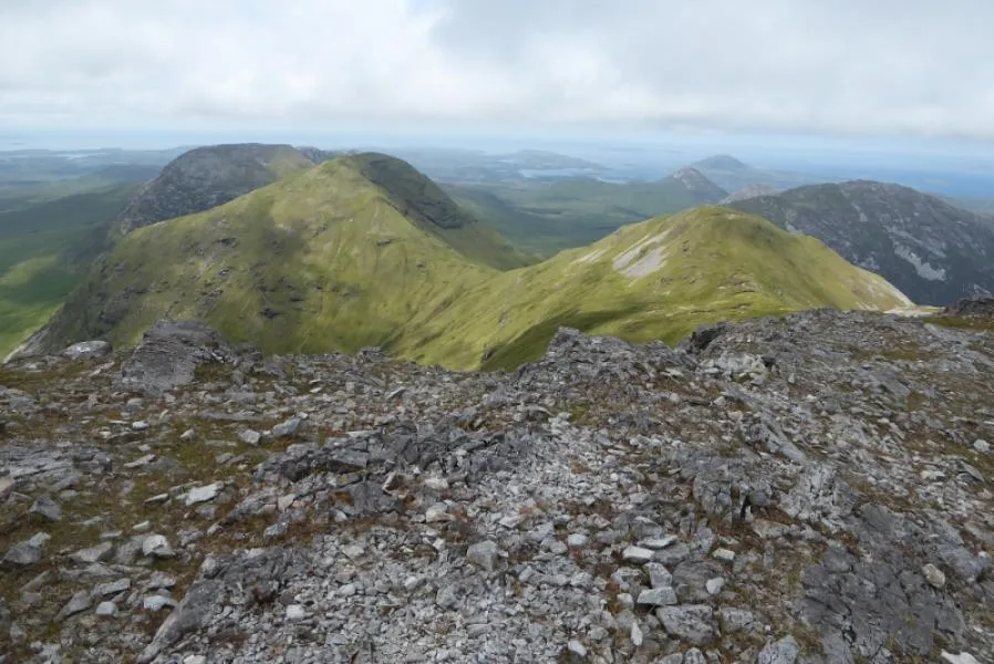 Bencullagh Mountain, County Galway3.6 km NW
-
 Lissoughter Mountain, County Galway7.9 km E
-
Tievebaun Mountain, County Galway5.2 km W
-
Bencorr Mountain, County Galway2.9 km E
-
Benfree Mountain, County Galway3 km N
Sources & licences
Data last updated: · 2 independent sources