Rosses Point
Local name: An Ros
Located in County Sligo, Connacht Coordinates: 54°18′33″ N 8°33′58″ W
- Population
- 824
- 824
- Elevation
- 26 m
- above sea level
- Local time
- UTC+00:00
- Europe/Dublin · UTC+00:00
About Rosses Point
Rosses Point is a village. Location: County Sligo, Connacht. Population: 824. Elevation: 26 m.
Rosses Point (Irish: Ros Cheide, meaning 'promontary of the hill/assembly (trans. Cheide uncertain)' or Irish: An Ros) is a village in County Sligo, Ireland, and also the name of the surrounding peninsula. Rosses Point is at the entrance to Sligo Harbour from Sligo Bay with Oyster Island being the long thin landmass notable when entering the village from Sligo town and Inishmulclohy (or Coney Island) being the second and larger island that is encountered.
Read more on Wikipedia Text: Wikipedia contributors · CC BY-SA 4.0 · shortened
In comparison
- No. 11 of 23 places in County Sligo by population
- Nearest larger town: Strandhill, 5 km SW
- 27 sights and natural places within 10 km Oyster Island, Doonweelin Lough
Climate of Rosses Point
Best months for sightseeing: June–August.
| Month | Jan | Feb | Mar | Apr | May | Jun | Jul | Aug | Sep | Oct | Nov | Dec |
|---|---|---|---|---|---|---|---|---|---|---|---|---|
| Average high (°C) | 8° | 8° | 10° | 12° | 15° | 17° | 18° | 18° | 16° | 13° | 10° | 9° |
| Average low (°C) | 3° | 3° | 4° | 5° | 7° | 9° | 11° | 11° | 9° | 7° | 5° | 4° |
| Precipitation (mm) | 145 | 100 | 114 | 71 | 76 | 77 | 79 | 100 | 115 | 143 | 146 | 150 |
Monthly averages for 1970–2000 at about 18 km resolution, adjusted for elevation. Highlighted months are mild and relatively dry. Source: WorldClim 2.1 (CC BY 4.0).
Airports nearest to Rosses Point
- Ireland West Airport Knock (NOC) Charlestown 47 km
- Donegal Airport (CFN) Donegal 83 km
- City of Derry Airport (LDY) Derry, Derry and Strabane 122 km
Straight-line distance; airports with scheduled flights only. Source: OurAirports (public domain).
Nearby attractions & nature
Everything nearby-
Oyster Island Island, County Sligo0.9 km S
-
Doonweelin Lough Lake, County Sligo1.6 km NE
-
Coney Island Island, County Sligo1.8 km SW
-
Drumcliff Bay Natural site, County Sligo2.7 km N
-
Maguins Island Island, County Sligo3.4 km SW
-
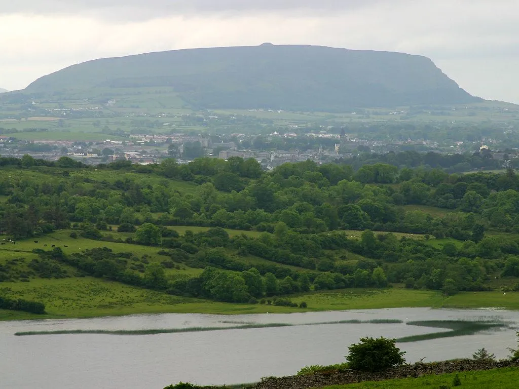 Knocknarea Mountain, County Sligo5.7 km S
Sources & licences
Data last updated: · 2 independent sources