Knocknarea
Local name: Cnoc na Riabh
Located in County Sligo, Connacht Coordinates: 54°15′31″ N 8°34′29″ W
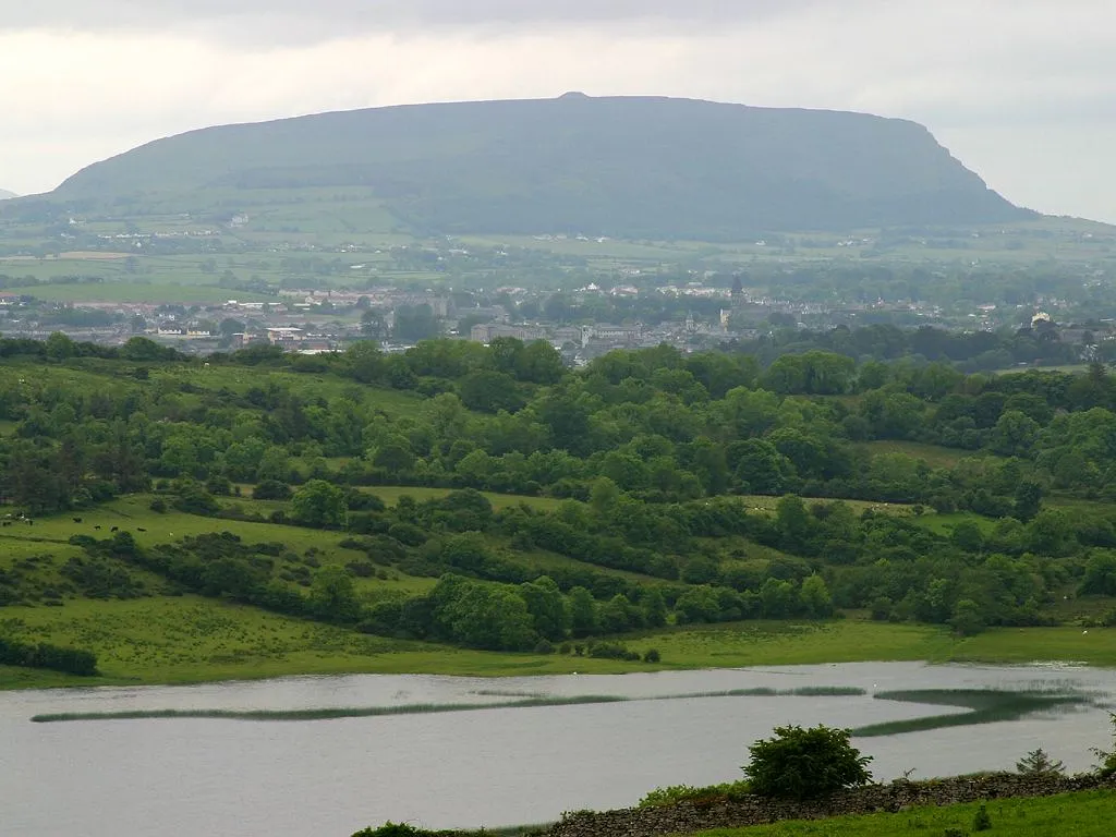
- Elevation
- 327 m
- above sea level
- Local time
- UTC+00:00
- Europe/Dublin · UTC+00:00
- Airports
- NOC Ireland West Airport Knock42 km
- CFN Donegal Airport89 km
About Knocknarea
Knocknarea is a mountain. Location: County Sligo, Connacht. Elevation: 327 m.
Knocknarea (; Irish: Cnoc na Riabh) is a large prominent hill west of Sligo town in County Sligo, Ireland, with a height of 327 metres (1,073 ft). Knocknarea is visually striking as it has steep limestone cliffs and stands on the Coolera Peninsula overlooking the Atlantic coast. At the summit is one of Ireland's largest cairns, known as Queen Maeve's Cairn, which is believed to contain a Neolithic passage tomb.
Source: Wikipedia · CC BY-SA 4.0
At a glance
- Topographic prominence
- 312 m
Source: Wikidata
Climate of Knocknarea
Best months for sightseeingBest months for sightseeing: July–August.
This month · November
A wet month
Day 8° · Night 3° · Rain 146 mm
- Hottest month
- July (day 16°)
- Coldest month
- January (night 1°)
- Wettest month
- December (150 mm)
- Driest month
- April (71 mm)
Bars: average monthly low and high temperature. Below: precipitation. Monthly averages for 1970–2000 at about 18 km resolution, adjusted for elevation. Highlighted months are mild and relatively dry. Source: WorldClim 2.1 (CC BY 4.0).
Show values as a table
| Month | Jan | Feb | Mar | Apr | May | Jun | Jul | Aug | Sep | Oct | Nov | Dec |
|---|---|---|---|---|---|---|---|---|---|---|---|---|
| Average high (°C) | 6° | 6° | 8° | 10° | 13° | 15° | 16° | 16° | 14° | 11° | 8° | 7° |
| Average low (°C) | 1° | 1° | 2° | 3° | 5° | 8° | 10° | 9° | 8° | 5° | 3° | 2° |
| Precipitation (mm) | 145 | 100 | 114 | 71 | 76 | 77 | 79 | 100 | 115 | 143 | 146 | 150 |
How to get to Knocknarea
The nearest airport is Ireland West Airport Knock (NOC), 42 km to the south as the crow flies. The nearest large city is Belfast, 176 km to the east.
Airports
- Ireland West Airport Knock (NOC) Charlestown 42 kmsouth
- Donegal Airport (CFN) Donegal 89 kmnorth
- City of Derry Airport (LDY) Derry, Derry and Strabane 126 kmnortheast
Nearby large cities
- Belfast Population: 348K 176 kmeast
- Limerick Population: 102.3K 177 kmsouth
- Dublin Population: 1M 185 kmsoutheast
- Cork Population: 224K 263 kmsouth
- Glasgow Population: 626.4K 329 kmnortheast
Straight-line distances; road distances are longer. Airport data: OurAirports.
Nearest towns and villages
-
Strandhill Village, County Sligo1.9 km NW
-
Culleenduff Village, County Sligo0.9 km SW
-
Grange West Village, County Sligo1.1 km S
-
Tully Village, County Sligo1.2 km N
-
Lecarrow Village, County Sligo1.2 km NE
-
Woodpark Village, County Sligo1.5 km S
Nearby attractions & nature
Everything nearby-
Strandhill Beach Beach, County Sligo2.6 km NW
-
Ballysadare Bay Natural site, County Sligo2.7 km S
-
Maguins Island Island, County Sligo3.9 km NW
-
Coney Island Island, County Sligo4.5 km N
-
Oyster Island Island, County Sligo4.8 km N
-
Derkmore Point Natural site, County Sligo5.6 km W
-
Cloverhill Lough Lake, County Sligo5.1 km E
-
Lough Doo Lake, County Sligo5.8 km SW
More nature in Ireland
-
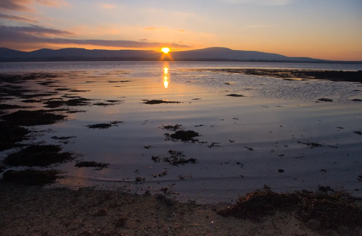 Knockalongy Mountain, County Sligo14 km SW
-
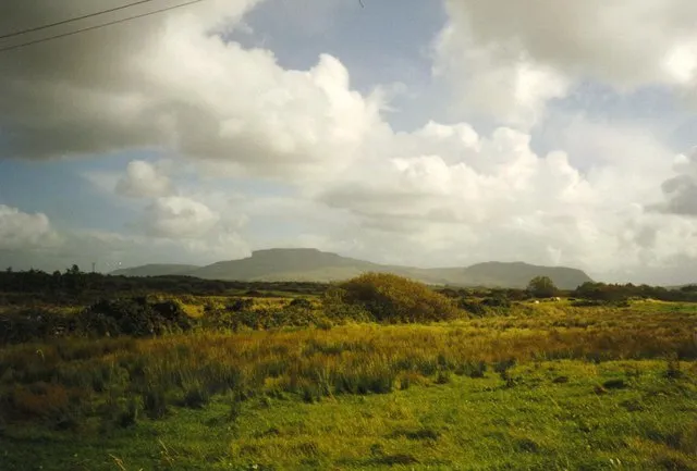 Dartry Mountains Mountain, County Sligo13 km NE
-
Slieve Daeane Mountain, County Sligo9.7 km SE
-
Cloonagh Mountain, County Sligo11 km SW
-
Carns Hill Mountain, County Sligo7.7 km E
-
Slieveward Mountain, County Sligo8 km SE
Sources & licences
Data last updated: · 2 independent sources