Seafield
Located in County Sligo, Connacht Coordinates: 54°14′26″ N 8°33′30″ W
- Elevation
- 19 m
- above sea level
- Local time
- UTC+00:00
- Europe/Dublin · UTC+00:00
About Seafield
Seafield is a village. Location: County Sligo, Connacht. Elevation: 19 m.
In comparison
- Nearest larger town: Strandhill, 4 km NW
- 50 sights and natural places within 10 km Ballysadare Bay, Knocknarea
Climate of Seafield
Best months for sightseeing: June–August.
| Month | Jan | Feb | Mar | Apr | May | Jun | Jul | Aug | Sep | Oct | Nov | Dec |
|---|---|---|---|---|---|---|---|---|---|---|---|---|
| Average high (°C) | 8° | 8° | 10° | 12° | 15° | 17° | 18° | 18° | 16° | 13° | 10° | 9° |
| Average low (°C) | 3° | 3° | 4° | 5° | 7° | 10° | 12° | 11° | 10° | 7° | 5° | 4° |
| Precipitation (mm) | 145 | 100 | 114 | 71 | 76 | 77 | 79 | 100 | 115 | 143 | 146 | 150 |
Monthly averages for 1970–2000 at about 18 km resolution, adjusted for elevation. Highlighted months are mild and relatively dry. Source: WorldClim 2.1 (CC BY 4.0).
Airports nearest to Seafield
- Ireland West Airport Knock (NOC) Charlestown 40 km
- Donegal Airport (CFN) Donegal 91 km
- City of Derry Airport (LDY) Derry, Derry and Strabane 127 km
Straight-line distance; airports with scheduled flights only. Source: OurAirports (public domain).
Nearby attractions & nature
Everything nearby-
Ballysadare Bay Natural site, County Sligo2.1 km W
-
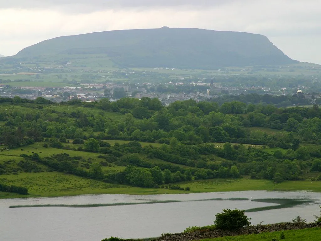 Knocknarea Mountain, County Sligo2.3 km NW
-
Ballydrehid Bridge Landmark, County Sligo4.5 km SE
-
Lough Doo Lake, County Sligo5.1 km SW
-
Cloverhill Lough Lake, County Sligo3.7 km E
-
Maguins Island Island, County Sligo6.2 km NW
Sources & licences
Data last updated: