Drogheda
Located in County Louth, Leinster Coordinates: 53°43′08″ N 6°20′52″ W
- Population
- 44,135
- 44.1K
- Elevation
- 28 m
- above sea level
- Local time
- UTC+00:00
- Europe/Dublin · UTC+00:00
About Drogheda
Drogheda is a town. Location: County Louth, Leinster. Population: 44,135. Elevation: 28 m.
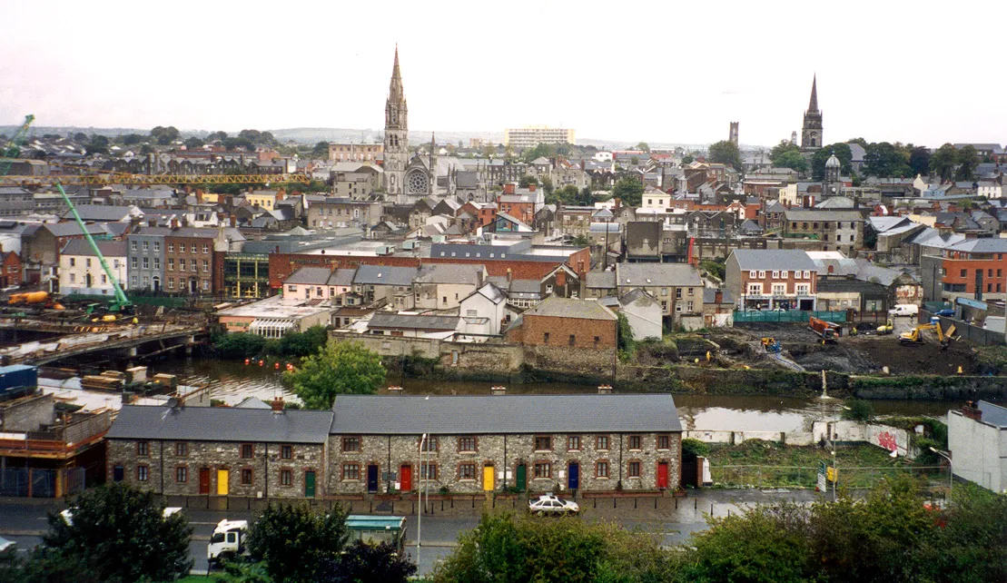
Drogheda ( DRO-həd-ə, DRAW-də; Irish: Droichead Átha [ˈd̪ˠɾˠɛhəd̪ˠ ˈaːhə] , meaning "bridge at the ford") is an industrial and port town in County Louth on the east coast of Ireland, 43 km (27 mi) north of Dublin. It is located on the Dublin–Belfast corridor on the east coast of Ireland, mostly in County Louth but with the south fringes of the town in County Meath, 40 km (25 mi) north of Dublin city centre.
Read more on Wikipedia Text: Wikipedia contributors · CC BY-SA 4.0 · shortened
At a glance
- Built
- 1194
- Area
- 14.8 km²
Source: Wikidata
In comparison
- Most populous of 24 places in County Louth
- Nearest larger town: Dublin, 43 km S
- 12 sights and natural places within 10 km Boyne Viaduct, Hunky Dorys Park
Nearby attractions & nature
Everything nearby-
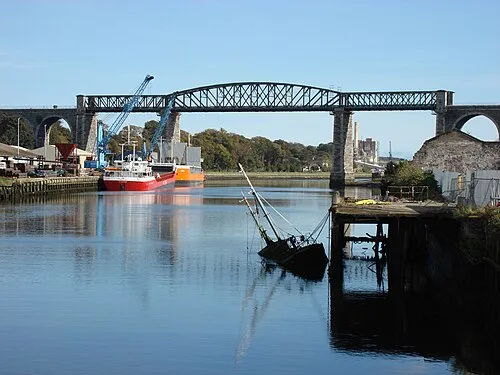 Boyne Viaduct Landmark, County Louth0.7 km E
-
 Hunky Dorys Park Landmark, County Louth0.8 km NW
-
Fieldstown Hill Mountain, County Louth6.1 km N
-
Dardistown Castle Historic site, County Meath6.3 km S
-
Mattock River River, Ireland5.5 km W
-
Mellifont Abbey Historic site, County Louth7.9 km W
-
River Boyne River, County Meath6.7 km E
-
Castlecoo Hill Mountain, County Louth9.4 km NE
Sources & licences
Data last updated: · 2 independent sources