Boyne Viaduct
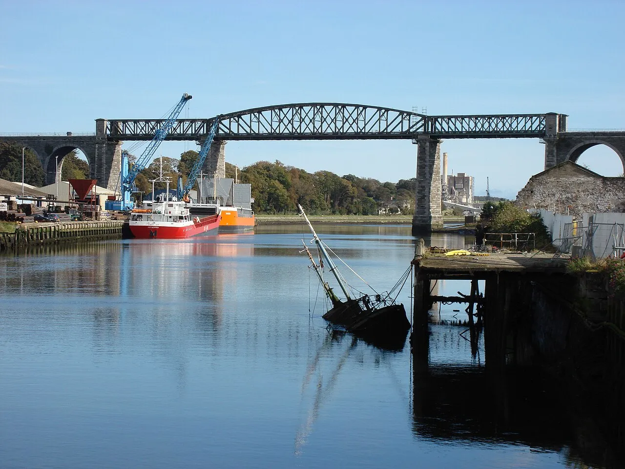
Located in County Louth, Leinster Coordinates: 53°43′02″ N 6°20′15″ W
- Local time
- UTC+00:00
- Europe/Dublin · UTC+00:00
- Elevation
- 11 m
- above sea level
About Boyne Viaduct
Boyne Viaduct is a landmark. Location: County Louth, Leinster.
The Boyne Viaduct (Irish: Tarbhealach na Bóinne), a 30-metre-high (98-foot) railway bridge, or viaduct, that crosses the River Boyne in Drogheda, carrying the main Dublin–Belfast railway line.
Read more on Wikipedia Text: Wikipedia contributors · CC BY-SA 4.0 · shortened
At a glance
- Built
- 1855
- Length
- 0.2 km
Source: Wikidata
In comparison
- 11 sights and natural places within 10 km Hunky Dorys Park, Dardistown Castle
Nearby attractions & nature
Everything nearby-
 Hunky Dorys Park Landmark, County Louth1.5 km NW
-
Dardistown Castle Historic site, County Meath5.9 km S
-
Fieldstown Hill Mountain, County Louth6.5 km N
-
Mellifont Abbey Historic site, County Louth8.6 km W
-
Newgrange Historic site, County Meath9.3 km SW
-
River Boyne River, County Meath6 km E
-
Mattock River River, Ireland6.2 km W
-
Castlecoo Hill Mountain, County Louth9.2 km NE
Nearest towns and villages
-
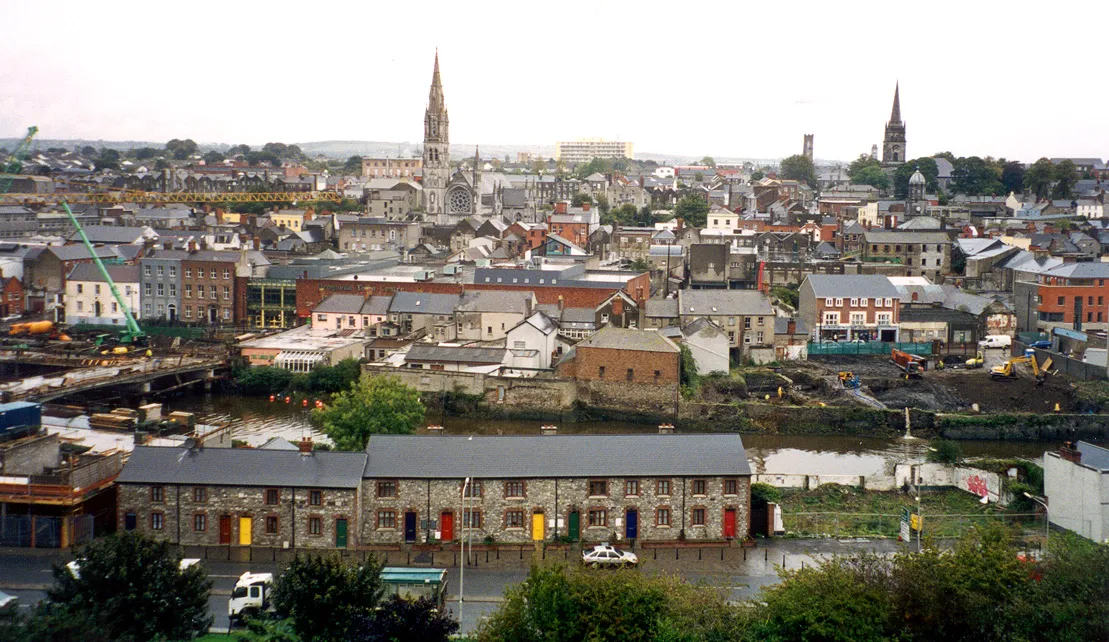 Drogheda Town, County Louth0.7 km W
-
 Laytown Town, County Meath7.6 km SE
-
Beaulieu Cross Village, County Louth3.1 km NE
-
Beaulieu House Village, County Louth3.1 km NE
More sights in County Louth
-
Barmeath Castle Historic site, County Louth13 km N
-
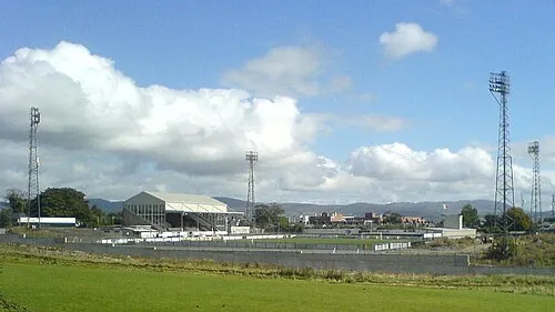 Oriel Park Landmark, County Louth32 km N
-
Dundalk Stadium Landmark, County Louth34 km N
Sources & licences
Data last updated: · 2 independent sources