Tallanstown
Local name: Baile an Tallúnaigh
Located in County Louth, Leinster Coordinates: 53°55′08″ N 6°33′00″ W
- Population
- 668
- 668
- Elevation
- 36 m
- above sea level
- Local time
- UTC+00:00
- Europe/Dublin · UTC+00:00
About Tallanstown
Tallanstown is a village. Location: County Louth, Leinster. Population: 668. Elevation: 36 m.
Tallanstown (Irish: Baile an Tallúnaigh) is a village in County Louth, Ireland. It is on the banks of the River Glyde, 13 km southwest of Dundalk. The village is on the R171 road, at the junction with the R166 road. It was the winner of the 2010 Tidy Towns competition. The village is in a townland and civil parish of the same name.
Read more on Wikipedia Text: Wikipedia contributors · CC BY-SA 4.0 · shortened
In comparison
- No. 15 of 24 places in County Louth by population
- Nearest larger town: Louth, 3 km N
- 6 sights and natural places within 10 km Knockdillon, Stephenstown Pond Nature Park
Airports nearest to Tallanstown
- Dublin Airport (DUB) Dublin 58 km
- Belfast International Airport (BFS) Belfast 85 km
- George Best Belfast City Airport (BHD) Belfast 89 km
Straight-line distance; airports with scheduled flights only. Source: OurAirports (public domain).
Nearby attractions & nature
Everything nearby-
Stephenstown Pond Nature Park Natural site, County Louth7.7 km NE
-
Knockdillon Mountain, County Louth5.7 km NE
-
Cortial Lough Lake, County Louth9.6 km N
-
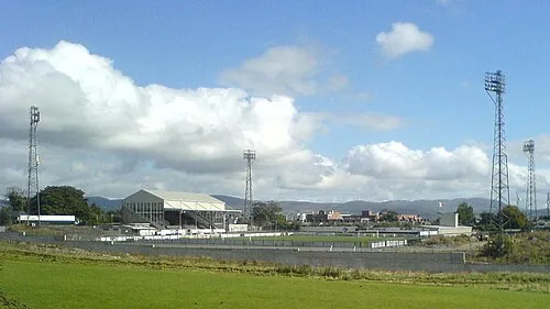 Oriel Park Landmark, County Louth12 km NE
-
Drumcah Lough Lake, County Louth8.3 km N
-
Ballyhoe Lough Lake, Ireland11 km W
Sources & licences
Data last updated: · 2 independent sources