Kentstown
Located in County Meath, Leinster Coordinates: 53°37′39″ N 6°31′36″ W
- Population
- 1,179
- 1.2K
- Elevation
- 57 m
- above sea level
- Local time
- UTC+00:00
- Europe/Dublin · UTC+00:00
About Kentstown
Kentstown is a village. Location: County Meath, Leinster. Population: 1,179. Elevation: 57 m.
Kentstown (Irish: Baile an Cheantaigh) is a village in County Meath, Ireland. It is 10 kilometres (6 mi) east of Navan, at the junction of the R153 and R150 roads. The village is in a townland and civil parish of the same name. The River Nanny rises outside of Kentstown, and flows about 18 miles to the Irish Sea at Laytown.
Read more on Wikipedia Text: Wikipedia contributors · CC BY-SA 4.0 · shortened
In comparison
- No. 18 of 35 places in County Meath by population
- Nearest larger town: Duleek, 8 km NE
- 17 sights and natural places within 10 km Gerrardstown Castle, Dillon’s Bridge
Nearby attractions & nature
Everything nearby-
Gerrardstown Castle Historic site, County Meath4.2 km W
-
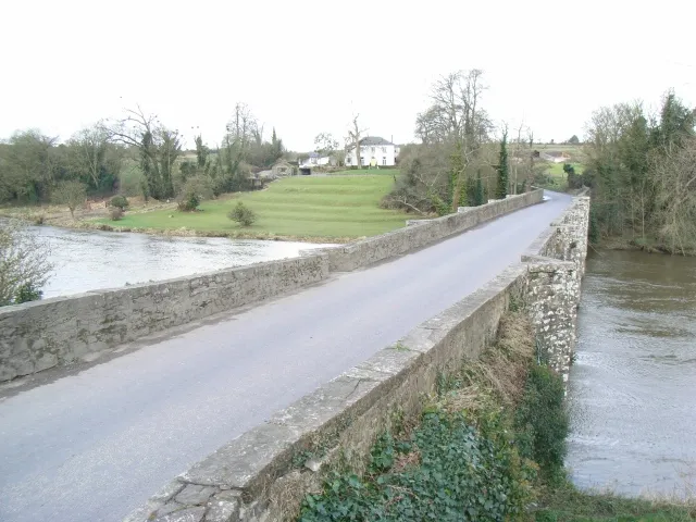 Broadboyne Bridge Landmark, County Meath8.3 km NW
-
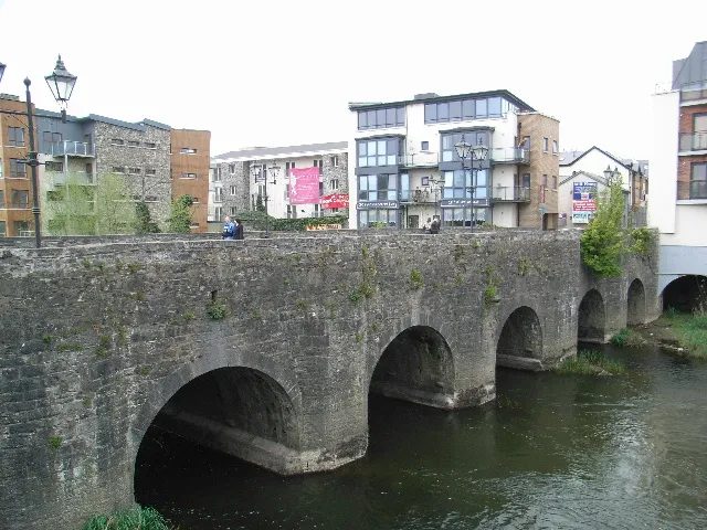 Pollboy Bridge Landmark, County Meath11 km W
-
Dillon’s Bridge Landmark, County Meath6.5 km SW
-
Mullagha Hill Mountain, County Meath14 km NW
-
Newgrange Historic site, County Meath7.4 km NE
Sources & licences
Data last updated: · 2 independent sources