County Meath
Located in Leinster, Ireland Coordinates: 53°40′00″ N 6°40′00″ W
- Population
- 220,296
- 220.3K
- Elevation
- 47 m
- above sea level
- Local time
- UTC+00:00
- Europe/Dublin · UTC+00:00
- Places inside
- 740
- listed under County Meath
About County Meath
County Meath is a district. Location: Leinster, Ireland. Population: 220,296.
In comparison
- 33 sights and natural places within 10 km Donaghmore Church and Round Tower, Pollboy Bridge
- Listed here: Village: 587, Landmark: 61, Lake: 19, Neighbourhood: 16
Airports nearest to County Meath
- Dublin Airport (DUB) Dublin 38 km
- Belfast International Airport (BFS) Belfast 114 km
- George Best Belfast City Airport (BHD) Belfast 118 km
Straight-line distance; airports with scheduled flights only. Source: OurAirports (public domain).
Places in County Meath
740 places-
Nevinstown Village
-
Newgrange Historic site
-
Newgrange Falconry Natural site
-
Newhaggard Village
-
Newrath Big Village
-
Newrath Little Village
-
Newtown Village
-
Newtown Village
-
Newtown Neighbourhood
-
Newtown Village
-
Newtownclonbun Village
-
Newtownfortescue Village
-
Newtown Girley Village
-
Newtown Lough Lake
-
Newtownmoynagh Village
-
Newtowntrim Cathedral Historic site
-
Ninch East Village
-
Normanstown Village
-
Nugentstown Village
-
Nugentstown Bridge Landmark
-
Oakstown Village
-
Odder Village
-
Oldtown Village
-
Oldtown Village
-
Ongenstown Village
-
Oristown Village
-
Otterstown Village
-
Painestown Village
-
Parkboy Village
-
Patrickstown Village
-
Pepperstown Village
-
Peterstown Village
-
Petersville Village
-
Philipstown Village
-
Phillinstown Village
-
Phillistown Village
-
Philpotstown Village
-
Philpotstown Village
-
Philpotstown Village
-
Phoenixtown Village
-
Piercetown Village
-
Pigotstown Village
-
Pluckstown Village
-
Pollboy Bridge Landmark
-
Portan Village
-
Portanab Village
-
Portlester Village
-
Pottlebane Village
-
Pottlereagh Village
-
Priory of St John the Baptist Attraction
-
Proudstown Village
-
Pubblestown Village
-
Queensborough Village
-
Rafeehan Village
-
Rahaghy Village
-
Raheenacrehy Village
-
Rahendrick Village
-
Rataine Village
-
Rathbeggan Lakes Natural site
-
Rathbonny Village
Nearby attractions & nature
Everything nearby-
 Hunky Dorys Park Landmark, County Louth21 km E
-
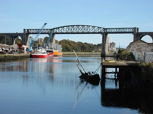 Boyne Viaduct Landmark, County Louth22 km E
-
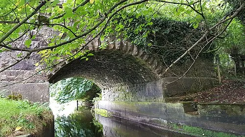 Lisclogher Bridge Landmark, County Westmeath24 km W
-
Fieldstown Hill Mountain, County Louth23 km NE
-
Mount Oriel Mountain, County Louth17 km NE
-
Mellifont Abbey Historic site, County Louth16 km NE
Sources & licences
Data last updated: