County Meath
Located in Leinster, Ireland Coordinates: 53°40′00″ N 6°40′00″ W
- Population
- 220,296
- 220.3K
- Elevation
- 47 m
- above sea level
- Local time
- UTC+00:00
- Europe/Dublin · UTC+00:00
- Places inside
- 740
- listed under County Meath
About County Meath
County Meath is a district. Location: Leinster, Ireland. Population: 220,296.
In comparison
- 33 sights and natural places within 10 km Donaghmore Church and Round Tower, Pollboy Bridge
- Listed here: Village: 587, Landmark: 61, Lake: 19, Neighbourhood: 16
Climate of County Meath
Best months for sightseeing: June–September.
| Month | Jan | Feb | Mar | Apr | May | Jun | Jul | Aug | Sep | Oct | Nov | Dec |
|---|---|---|---|---|---|---|---|---|---|---|---|---|
| Average high (°C) | 8° | 8° | 10° | 12° | 15° | 18° | 19° | 19° | 17° | 13° | 10° | 8° |
| Average low (°C) | 2° | 2° | 3° | 4° | 6° | 9° | 11° | 11° | 9° | 7° | 4° | 3° |
| Precipitation (mm) | 104 | 77 | 80 | 61 | 68 | 68 | 65 | 87 | 87 | 100 | 105 | 101 |
Monthly averages for 1970–2000 at about 18 km resolution, adjusted for elevation. Highlighted months are mild and relatively dry. Source: WorldClim 2.1 (CC BY 4.0).
Airports nearest to County Meath
- Dublin Airport (DUB) Dublin 38 km
- Belfast International Airport (BFS) Belfast 114 km
- George Best Belfast City Airport (BHD) Belfast 118 km
Straight-line distance; airports with scheduled flights only. Source: OurAirports (public domain).
Places in County Meath
740 places-
Rathbrack Village
-
Rathcarran Village
-
Rathcoon Village
-
Rathcore Village
-
Rathcormick Village
-
Rathdrinagh Village
-
Rathfeigh Village
-
Rathfleak Village
-
Rathkenna Village
-
Rathkenna Bridge Landmark
-
Rathkenny Village
-
Rathleek Village
-
Rathmore Village
-
Rathnally Village
-
Rathniska Village
-
Rath Riogh Historic site
-
Rathtroane Village
-
Readstown Village
-
Ringlestown Village
-
River Blackwater River
-
River Boyne River
-
River Deel River
-
River Nanny River
-
Riverstown Village
-
Roachtown Village
-
Robinrath Village
-
Robinstown Village
-
Robinstown Village
-
Robinstown Village
-
Rochestown Village
-
Rockfield Village
-
Rodstown Village
-
Rodstown Village
-
Roestown Village
-
Roristown Village
-
Ross Village
-
Ross Cross Roads Village
-
Rossmeen Village
-
Rushwee Village
-
Saintjohns Neighbourhood
-
Saint Johns Rath Village
-
Saraghstown Village
-
Scallanstown Village
-
Scarriff Bridge Landmark
-
Scottstown Village
-
Scurlockstown Village
-
Scurlockstown Village
-
Scurlockstown Bridge Landmark
-
Seafin Hill Mountain
-
Sedenrath Village
-
Seymourstown Black Village
-
Seymourstown White Village
-
Shanbo Village
-
Shanco Village
-
Shanco Village
-
Shanco Bridge Landmark
-
Shanlothe Village
-
Sheeny Village
-
Sheep Bridge Landmark
-
Siddan Village
Nearby attractions & nature
Everything nearby-
 Hunky Dorys Park Landmark, County Louth21 km E
-
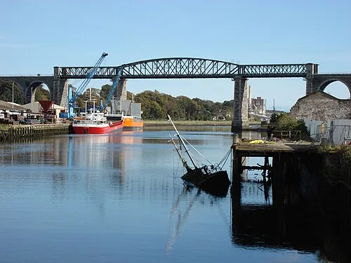 Boyne Viaduct Landmark, County Louth22 km E
-
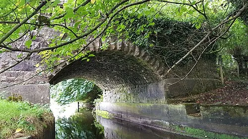 Lisclogher Bridge Landmark, County Westmeath24 km W
-
Fieldstown Hill Mountain, County Louth23 km NE
-
Mount Oriel Mountain, County Louth17 km NE
-
Mellifont Abbey Historic site, County Louth16 km NE
Sources & licences
Data last updated: