Kiltealy
Local name: Cill Téile
Located in County Wexford, Leinster Coordinates: 52°33′58″ N 6°44′44″ W
- Elevation
- 141 m
- above sea level
- Local time
- UTC+00:00
- Europe/Dublin · UTC+00:00
About Kiltealy
Kiltealy is a village. Location: County Wexford, Leinster. Elevation: 141 m.
Kiltealy (Irish: Cill Téile) is a small village in the southeastern corner of Ireland. It is situated on the foothills of the Blackstairs Mountains in County Wexford at the junction of the R702 and R730 regional roads, on the eastern flank of the Blackstairs Mountains. The previous spelling was Cill Teidhile which means the Chapel/cemetery of Teidhil. Teidhil would most likely be the a first name although no longer in use as such.
Read more on Wikipedia Text: Wikipedia contributors · CC BY-SA 4.0 · shortened
In comparison
- Nearest larger town: Kilmyshall, 9 km NE
- 16 sights and natural places within 10 km Blackstair’s Mountain, Knockroe
Nearby attractions & nature
Everything nearby-
Blackstair’s Mountain Mountain, County Wexford3.1 km NW
-
Carrigroe Mountain, County Wexford7.9 km SW
-
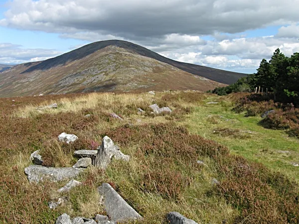 Carrigalachan Mountain, County Carlow7.4 km SW
-
Knockroe Mountain, County Carlow4.3 km NW
-
Blackstairs Mountain Mountain, County Wexford5.2 km SW
-
Tomduff Hill Mountain, County Carlow8.9 km NW
Sources & licences
Data last updated: · 2 independent sources