Rathnure
Local name: Ráth an Iúir
Located in County Wexford, Leinster Coordinates: 52°29′56″ N 6°45′47″ W
- Elevation
- 114 m
- above sea level
- Local time
- UTC+00:00
- Europe/Dublin · UTC+00:00
About Rathnure
Rathnure is a village. Location: County Wexford, Leinster. Elevation: 114 m.
Rathnure (Irish: Ráth an Iúir, meaning 'ringfort of the yew trees') is a small village on the R731 regional road about 12 km (7.5 mi) from the town of Enniscorthy, County Wexford, Ireland. The village is located at the foot of the Blackstairs Mountain, which borders County Carlow on the opposite side.
Read more on Wikipedia Text: Wikipedia contributors · CC BY-SA 4.0 · shortened
In comparison
- Nearest larger town: Clonroche, 6 km SE
- 13 sights and natural places within 10 km Sliabh Ban, Blackstairs Mountain
Nearby attractions & nature
Everything nearby-
Carrigroe Mountain, County Wexford5.2 km NW
-
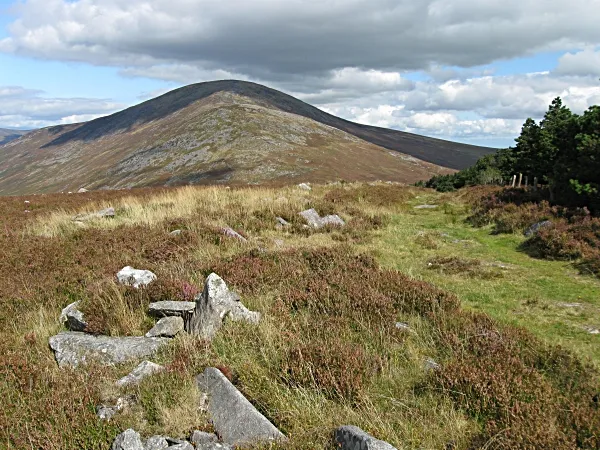 Carrigalachan Mountain, County Carlow6.2 km NW
-
Dranagh Mountain Mountain, County Carlow7.2 km W
-
Sliabh Ban Mountain, County Wexford4.5 km NW
-
Blackstairs Mountain Mountain, County Wexford4.6 km NW
-
White Mountain Mountain, County Wexford5.1 km W
Sources & licences
Data last updated: · 2 independent sources