Mountgarrett Castle
Located in County Wexford, Leinster Coordinates: 52°24′50″ N 6°55′49″ W
- Local time
- UTC+00:00
- Europe/Dublin · UTC+00:00
- Elevation
- 29 m
- above sea level
About Mountgarrett Castle
Mountgarrett Castle is a historic site. Location: County Wexford, Leinster.
In comparison
- 12 sights and natural places within 10 km River Nore, Lacken Hill
Nearby attractions & nature
Everything nearby-
Lacken Hill Mountain, County Wexford3.4 km SE
-
Chilcomb Park Natural site, County Kilkenny3.5 km SW
-
Pollmounty River River, County Wexford4.1 km N
-
River Nore River, County Kilkenny2.2 km NW
-
Camlin Hill Mountain, County Wexford5.4 km S
-
Carrigvahanagh Mountain, County Wexford9.1 km NE
-
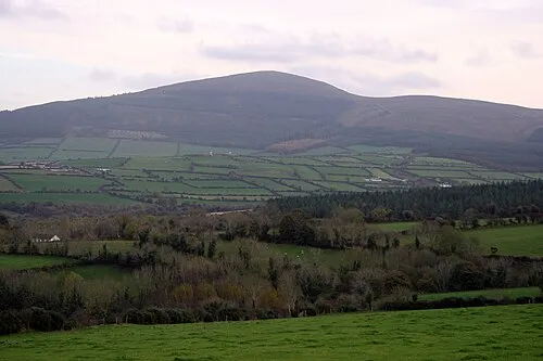 Brandon Hill Mountain, County Kilkenny11 km N
-
Slievecoiltia Mountain, County Wexford8.3 km S
Nearest towns and villages
-
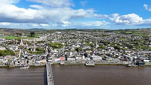 New Ross Town, County Wexford2 km S
-
Rosbercon Village, County Wexford2 km SW
-
Ballyanne Village, County Wexford1.6 km NE
-
Mount Garrett Bridge Village, County Kilkenny1.2 km N
More sights in County Wexford
-
Dunbrody Castle Historic site, County Wexford15 km S
-
Dunbrody Castle Historic site, County Wexford16 km S
-
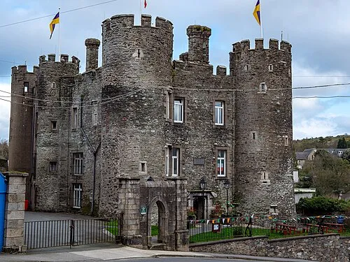 Enniscorthy Castle Historic site, County Wexford27 km E
-
Buttermilk Castle Historic site, County Wexford18 km S
-
Slevoy Castle Historic site, County Wexford20 km SE
-
Colclough Walled Garden Attraction, County Wexford21 km S
Sources & licences
Data last updated: