Tagoat
Located in County Wexford, Leinster Coordinates: 52°14′34″ N 6°22′49″ W
- Population
- 466
- 466
- Elevation
- 25 m
- above sea level
- Local time
- UTC+00:00
- Europe/Dublin · UTC+00:00
About Tagoat
Tagoat is a village. Location: County Wexford, Leinster. Population: 466. Elevation: 25 m.
Tagoat (Irish: Teach Gót) is a village in County Wexford, Ireland. It is located on the N25 and R736 roads, to the west of Rosslare Harbour. The village is located in the historic barony of Forth. It has a Catholic church dedicated to St. Mary. The local Gaelic Athletic Association (GAA) club is St Mary's Rosslare GAA.
Read more on Wikipedia Text: Wikipedia contributors · CC BY-SA 4.0 · shortened
In comparison
- No. 21 of 48 places in County Wexford by population
- Nearest larger town: Kilrane, 2 km E
- 10 sights and natural places within 10 km Rosslare Pier Lighthouse, Lady’s Island
Nearby attractions & nature
Everything nearby-
Rosslare Pier Lighthouse Landmark, County Wexford3.3 km NE
-
Lady’s Island Island, County Wexford3.6 km S
-
Inish Island, County Wexford6.4 km S
-
Rosslare Bay Natural site, County Wexford4.9 km N
-
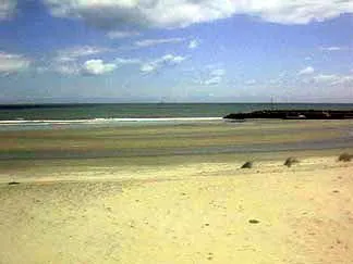 Carnsore Point Natural site, County Wexford8.2 km S
-
New Bay Natural site, Leinster5.9 km N
Sources & licences
Data last updated: · 2 independent sources