Lugnaquilla
Local name: Log na Coille
Located in County Wicklow, Leinster Coordinates: 52°58′02″ N 6°27′53″ W
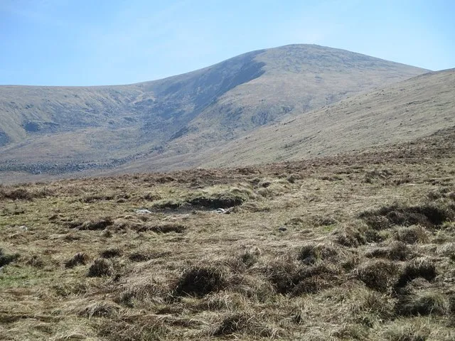
- Elevation
- 925 m
- above sea level
- Local time
- UTC+00:00
- Europe/Dublin · UTC+00:00
About Lugnaquilla
Lugnaquilla is a mountain. Location: County Wicklow, Leinster. Elevation: 925 m.
Lugnaquilla (Irish: Log na Coille, meaning 'hollow of the wood') is the highest of the Wicklow Mountains in Ireland, rising to 925 metres (3,035 ft). It is also the highest Irish mountain outside of County Kerry, and the highest point in County Wicklow and the province of Leinster. Lugnaquilla overlooks the Glen of Imaal to the west and Glenmalure to the east. Lugnaquilla is also the 11th-highest peak in Ireland on the Arderin list and 13th-highest on the Vandeleur-Lynam list.
Read more on Wikipedia Text: Wikipedia contributors · CC BY-SA 4.0 · shortened
At a glance
- Topographic prominence
- 905 m
Source: Wikidata
In comparison
- No. 12 of 2106 mountains in Ireland by elevation
- 71 sights and natural places within 10 km Carraig na Sliogan, Benleagh
Nearest towns and villages
-
Baravore Village, County Wicklow3.7 km NE
-
Rathgorragh Lower Village, County Wicklow3.8 km SW
-
Ballinfoyle Village, County Wicklow4.8 km W
-
Toorboy Village, County Wicklow4.8 km SW
-
Ballinafunshoge Village, County Wicklow4.9 km E
-
Ballyknockan Village, County Wicklow5.1 km SW
Nearby attractions & nature
Everything nearby-
Carraig na Sliogan Mountain, County Wicklow1.7 km SE
-
Clocharnach Mountain, County Wicklow2.5 km E
-
Lybagh Mountain, County Wicklow3 km S
-
Benleagh Mountain, County Wicklow2.4 km N
-
Ballineddan Mountain Mountain, County Wicklow3.1 km W
-
Leoh Mountain Mountain, County Wicklow3.5 km NW
-
Aghavannagh Mountain Mountain, County Wicklow3 km S
-
Camarahill Mountain, County Wicklow3.7 km W
More nature in Ireland
-
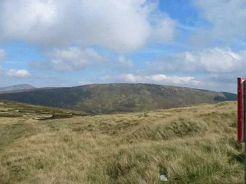 Conavalla Mountain, County Wicklow5.5 km N
-
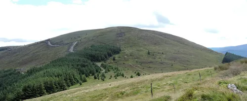 Mullacor Mountain, County Wicklow6.4 km E
-
Carrawaystick Mountain Mountain, County Wicklow3.7 km SE
-
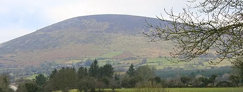 Keadeen Mountain Mountain, County Wicklow8.1 km W
-
Toorboy Mountain Mountain, County Wicklow4.4 km SW
-
Slieveboy Mountain Mountain, County Wicklow4.7 km S
Sources & licences
Data last updated: · 2 independent sources