Keadeen Mountain
Located in County Wicklow, Leinster Coordinates: 52°57′02″ N 6°34′53″ W
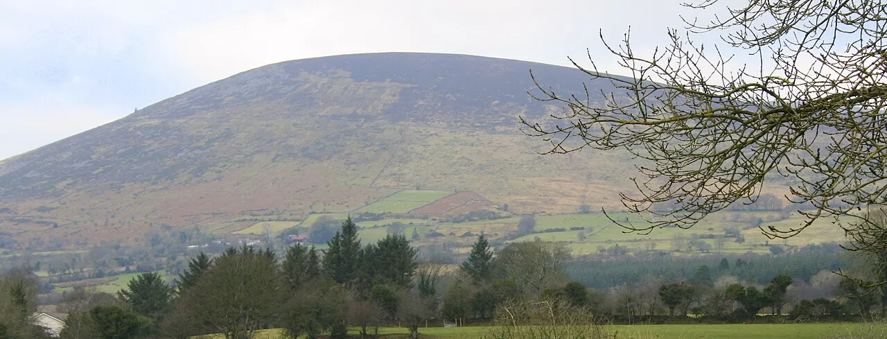
- Elevation
- 653 m
- above sea level
- Local time
- UTC+00:00
- Europe/Dublin · UTC+00:00
About Keadeen Mountain
Keadeen Mountain is a mountain. Location: County Wicklow, Leinster. Elevation: 653 m.
Keadeen Mountain (Irish: Céidín, meaning 'flat-topped hill') at 653 metres (2,142 ft), is the 152nd–highest peak in Ireland on the Arderin scale, and the 184th–highest peak on the Vandeleur-Lynam scale. Keadeen is situated at the far southwestern end of the Wicklow Mountains range, separated from the large massif of Lugnaquilla on its own small isolated massif with Carrig Mountain 571 metres (1,873 ft); it overlooks the Glen of Imaal from the south.
Read more on Wikipedia Text: Wikipedia contributors · CC BY-SA 4.0 · shortened
At a glance
- Topographic prominence
- 334 m
Source: Wikidata
In comparison
- No. 170 of 2106 mountains in Ireland by elevation
- 38 sights and natural places within 10 km Carrig Mountain, Slievereagh
Nearest towns and villages
-
Muckduff Upper Village, County Wicklow1.3 km SE
-
Killybeg Village, County Wicklow1.4 km W
-
Keadeen Village, County Wicklow1.5 km SW
-
Ballytoole Village, County Wicklow1.6 km NW
-
Derrynamuck Village, County Wicklow1.7 km NE
-
Carrig Lower Village, County Wicklow1.8 km S
Nearby attractions & nature
Everything nearby-
Carrig Mountain Mountain, County Wicklow1.3 km S
-
Slievereagh Mountain, County Wicklow2.1 km E
-
Spinans Hill SE Top Mountain, County Wicklow2.7 km NW
-
Cloghnagaune Mountain, County Wicklow3 km W
-
Spinans Hill Mountain, County Wicklow3.9 km NW
-
Glen of Imail Natural site, County Wicklow3.8 km N
-
Camarahill Mountain, County Wicklow4.8 km NE
-
Ballineddan Mountain Mountain, County Wicklow5 km E
More nature in Ireland
-
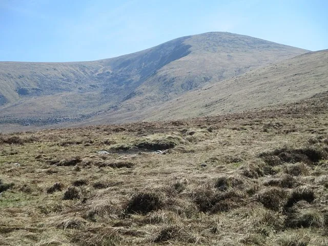 Lugnaquilla Mountain, County Wicklow8.1 km E
-
Lybagh Mountain, County Wicklow6.8 km E
-
Toorboy Mountain Mountain, County Wicklow5.4 km E
-
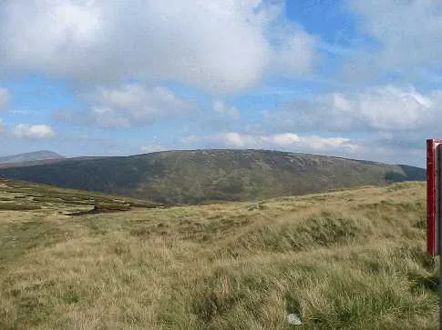 Conavalla Mountain, County Wicklow11 km NE
-
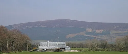 Church Mountain Mountain, County Wicklow11 km N
-
Leoh Mountain Mountain, County Wicklow7.4 km NE
Sources & licences
Data last updated: · 2 independent sources