Church Mountain
Local name: Sliabh gCod
Located in County Wicklow, Leinster Coordinates: 53°03′12″ N 6°35′13″ W
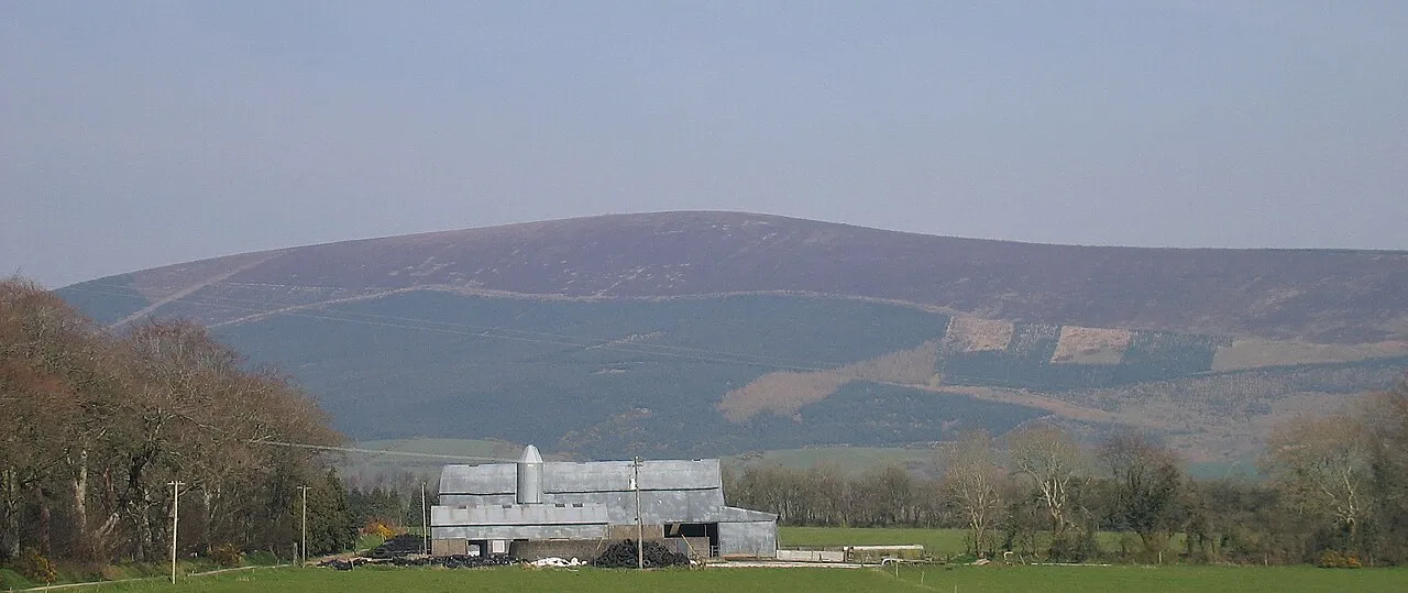
- Elevation
- 544 m
- above sea level
- Local time
- UTC+00:00
- Europe/Dublin · UTC+00:00
About Church Mountain
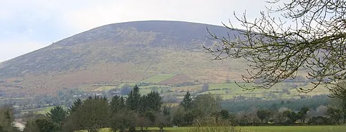
Church Mountain is a mountain. Location: County Wicklow, Leinster. Elevation: 544 m.
Church Mountain, also called Slieve Gad (Irish: Sliabh gCod / Sliabh an Chodaigh, meaning 'mountain of the covenant'), is the westernmost of the Wicklow Mountains in Ireland. It is 544 metres (1,785 ft) high. At the summit are the remains of a large ancient cairn of pagan origin. This cairn was partially destroyed and a small building, apparently a church, was built on it in the Middle Ages. Pilgrims formerly climbed the mountain during the festival of Lughnasa to visit a holy well on the summit.
Read more on Wikipedia Text: Wikipedia contributors · CC BY-SA 4.0 · shortened
In comparison
- No. 370 of 2106 mountains in Ireland by elevation
- 28 sights and natural places within 10 km Hollywood Glen, Knocknaboley
Nearest towns and villages
-
Donard Village, County Wicklow4.2 km SW
-
Woodenboley Village, County Carlow1.2 km NW
-
Kilbaylet Village, County Wicklow2 km SW
-
Corragh Village, County Wicklow2.2 km SE
-
Lugglass Lower Village, County Wicklow2.5 km NE
-
Coonmore Village, County Wicklow2.6 km NE
Nearby attractions & nature
Everything nearby-
Knocknaboley Mountain, County Wicklow1.8 km E
-
Hollywood Glen Natural site, County Wicklow1.8 km W
-
Coire Breac Mountain, County Wicklow2.1 km SE
-
Slievecorragh Mountain, County Wicklow2.9 km N
-
Douglas River River, County Wicklow3.5 km NE
-
Round Hill Mountain, County Wicklow4.2 km E
-
Lobawn Mountain, County Wicklow4.6 km SE
-
Friarhill Mountain, County Wicklow5.6 km W
More nature in Ireland
-
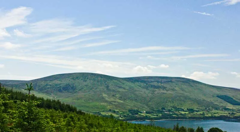 Moanbane Mountain, County Wicklow10 km NE
-
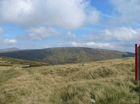 Conavalla Mountain, County Wicklow9.9 km SE
-
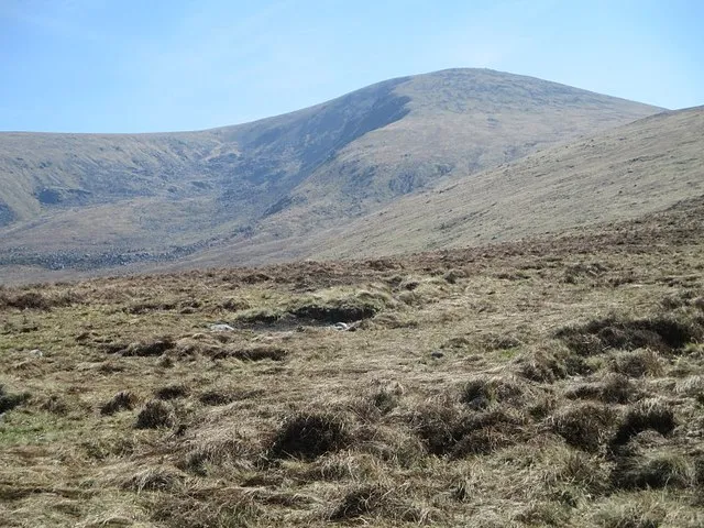 Lugnaquilla Mountain, County Wicklow13 km SE
-
 Keadeen Mountain Mountain, County Wicklow11 km S
-
Sugarloaf Mountain, County Wicklow5.3 km S
-
Cawrawn Mountain, County Wicklow5.7 km SE
Sources & licences
Data last updated: · 2 independent sources