Ashtown
Local name: Baile an Ásaigh
Located in Dublin City, Leinster Coordinates: 53°22′31″ N 6°19′50″ W
- Elevation
- 43 m
- above sea level
- Local time
- UTC+00:00
- Europe/Dublin · UTC+00:00
About Ashtown
Ashtown is a village. Location: Dublin City, Leinster. Elevation: 43 m.
Ashtown (Irish: Baile an Ásaigh) is a suburb of Dublin, Ireland. It is also a townland in the civil parish of Castleknock and falls largely into the postal district of Dublin 15, with some addresses in the Dublin 7 postal district. Ashtown is bounded roughly by the townlands of Castleknock to the west. Finglas to the North, Cabra to the East and the Phoenix Park to the South. It is situated by the Royal Canal, near the Navan Road, which some addresses being named off Navan Road.
Read more on Wikipedia Text: Wikipedia contributors · CC BY-SA 4.0 · shortened
In comparison
- Nearest larger town: Castleknock, 2 km W
- 51 sights and natural places within 10 km Phoenix Park, Zoo Dublin
Nearby attractions & nature
Everything nearby-
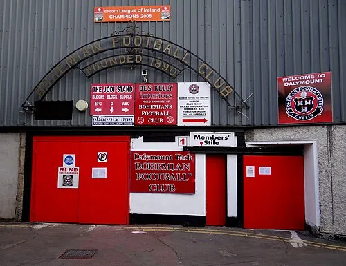 Dalymount Park Landmark, Dublin City4 km E
-
Phoenix Park Natural site, Dublin City2.1 km S
-
Zoo Dublin Attraction, Dublin City3 km SE
-
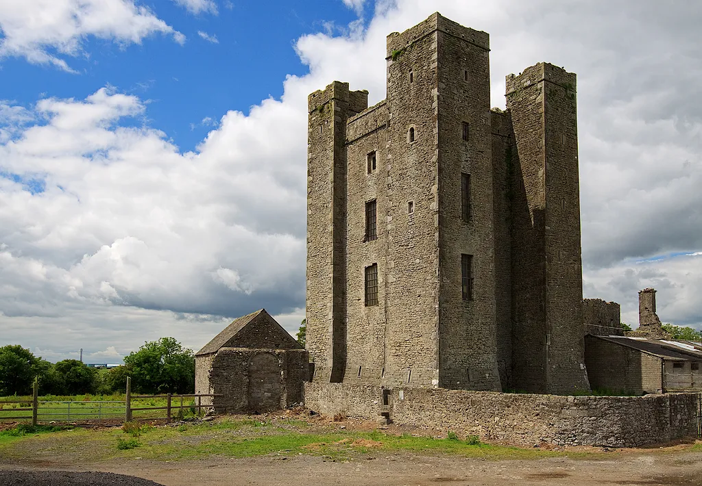 Dunsoghly Castle Historic site, Fingal5.8 km N
-
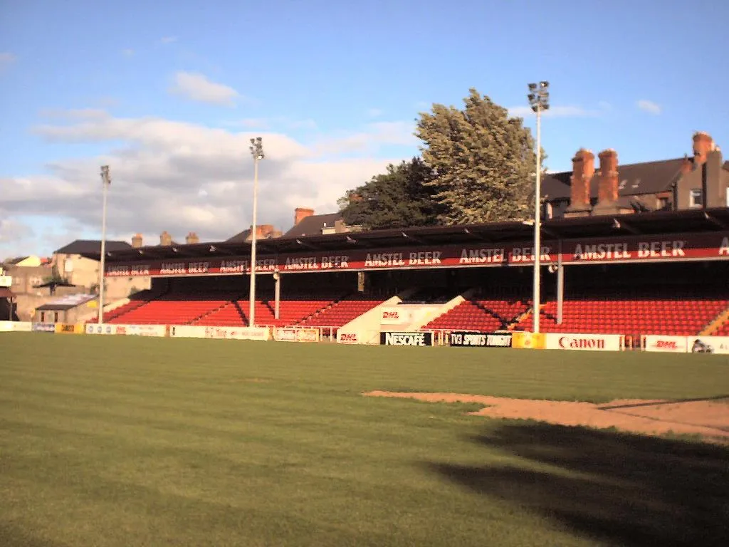 Richmond Park Landmark, Dublin City3.9 km S
-
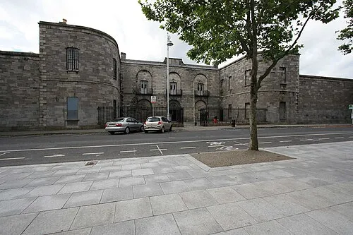 Kilmainham Gaol Museum, Dublin City4 km S
Sources & licences
Data last updated: · 2 independent sources