Glasnevin
Located in Dublin City, Leinster Coordinates: 53°22′43″ N 6°16′49″ W
- Population
- 3,633
- 3.6K
- Elevation
- 33 m
- above sea level
- Local time
- UTC+00:00
- Europe/Dublin · UTC+00:00
About Glasnevin
Glasnevin is a village. Location: Dublin City, Leinster. Population: 3,633. Elevation: 33 m.
Glasnevin (Irish: Glas Naíon, meaning 'stream of the infants', also known as Glas Naedhe, meaning "stream of O'Naeidhe" after a local stream and an ancient chieftain) is a neighbourhood of Dublin, Ireland, situated on the River Tolka. While primarily residential, Glasnevin is also home to the National Botanic Gardens, Glasnevin Cemetery, the National Meteorological Office, and a range of other state bodies. Dublin City University has its main campus and other facilities in and near the area.
Read more on Wikipedia Text: Wikipedia contributors · CC BY-SA 4.0 · shortened
In comparison
- No. 29 of 30 places in Dublin City by population
- Nearest larger town: Cabra, 2 km SW
- 54 sights and natural places within 10 km Dalymount Park, Poppintree Park
Climate of Glasnevin
Best months for sightseeing: June–September.
| Month | Jan | Feb | Mar | Apr | May | Jun | Jul | Aug | Sep | Oct | Nov | Dec |
|---|---|---|---|---|---|---|---|---|---|---|---|---|
| Average high (°C) | 8° | 8° | 10° | 12° | 15° | 18° | 20° | 20° | 17° | 14° | 10° | 9° |
| Average low (°C) | 2° | 2° | 3° | 4° | 7° | 9° | 11° | 11° | 9° | 7° | 4° | 3° |
| Precipitation (mm) | 70 | 55 | 55 | 52 | 52 | 57 | 53 | 70 | 64 | 73 | 70 | 75 |
Monthly averages for 1970–2000 at about 18 km resolution, adjusted for elevation. Highlighted months are mild and relatively dry. Source: WorldClim 2.1 (CC BY 4.0).
Other places to visit in this season: June · July · August · September
Airports nearest to Glasnevin
- Dublin Airport (DUB) Dublin 6 km
- Isle of Man Airport (IOM) Castletown, Rushen 135 km
- George Best Belfast City Airport (BHD) Belfast 141 km
Straight-line distance; airports with scheduled flights only. Source: OurAirports (public domain).
Nearby attractions & nature
Everything nearby-
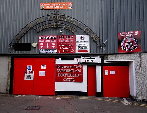 Dalymount Park Landmark, Dublin City1.9 km S
-
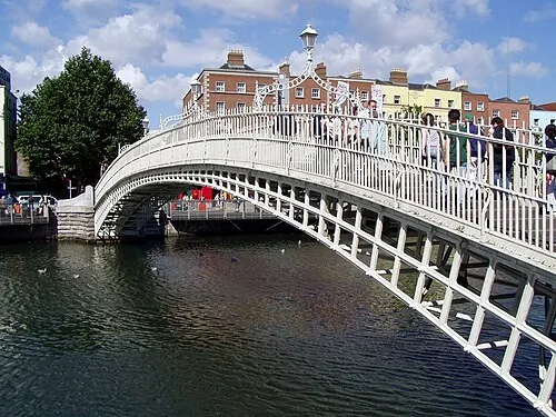 Ha'penny Bridge Landmark, Dublin City3.8 km S
-
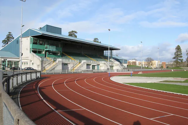 Santry Landmark, Fingal3.4 km NE
-
Collins Barracks Museum, Dublin City3.3 km S
-
Poppintree Park Natural site, Dublin City2.1 km N
-
Phoenix Park Natural site, Dublin City4.1 km SW
Sources & licences
Data last updated: · 2 independent sources