Cabra
Located in Dublin City, Leinster Coordinates: 53°22′01″ N 6°17′40″ W
- Population
- 4,389
- 4.4K
- Elevation
- 36 m
- above sea level
- Local time
- UTC+00:00
- Europe/Dublin · UTC+00:00
About Cabra
Cabra is a village. Location: Dublin City, Leinster. Population: 4,389. Elevation: 36 m.
Cabra (Irish: An Chabrach, meaning 'the poor land') is an inner suburb on the northside of Dublin, Ireland. It is approximately 2 kilometres (1.2 mi) northwest of the city centre, in the administrative area of Dublin City Council. It was commonly known as Cabragh until the early 20th century. Largely located between the Royal Canal and the Phoenix Park, it is primarily a residential suburb, with a range of institutions and some light industry.
Read more on Wikipedia Text: Wikipedia contributors · CC BY-SA 4.0 · shortened
In comparison
- No. 26 of 30 places in Dublin City by population
- Nearest larger town: Finglas, 2 km N
- 51 sights and natural places within 10 km Dalymount Park, Zoo Dublin
Nearby attractions & nature
Everything nearby-
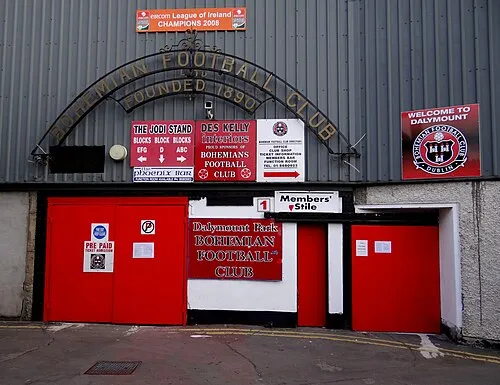 Dalymount Park Landmark, Dublin City1.4 km SE
-
Collins Barracks Museum, Dublin City2.1 km S
-
Phoenix Park Natural site, Dublin City2.6 km SW
-
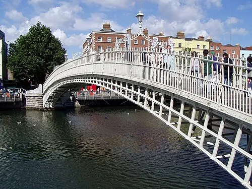 Ha'penny Bridge Landmark, Dublin City3.1 km SE
-
Zoo Dublin Attraction, Dublin City1.6 km SW
-
National Wax Museum Museum, Dublin City2.4 km SE
Sources & licences
Data last updated: · 2 independent sources