Finglas
Local name: Fionnghlas
Located in Dublin City, Leinster Coordinates: 53°23′21″ N 6°17′49″ W
- Population
- 19,768
- 19.8K
- Elevation
- 59 m
- above sea level
- Local time
- UTC+00:00
- Europe/Dublin · UTC+00:00
About Finglas
Finglas is a town. Location: Dublin City, Leinster. Population: 19,768. Elevation: 59 m.
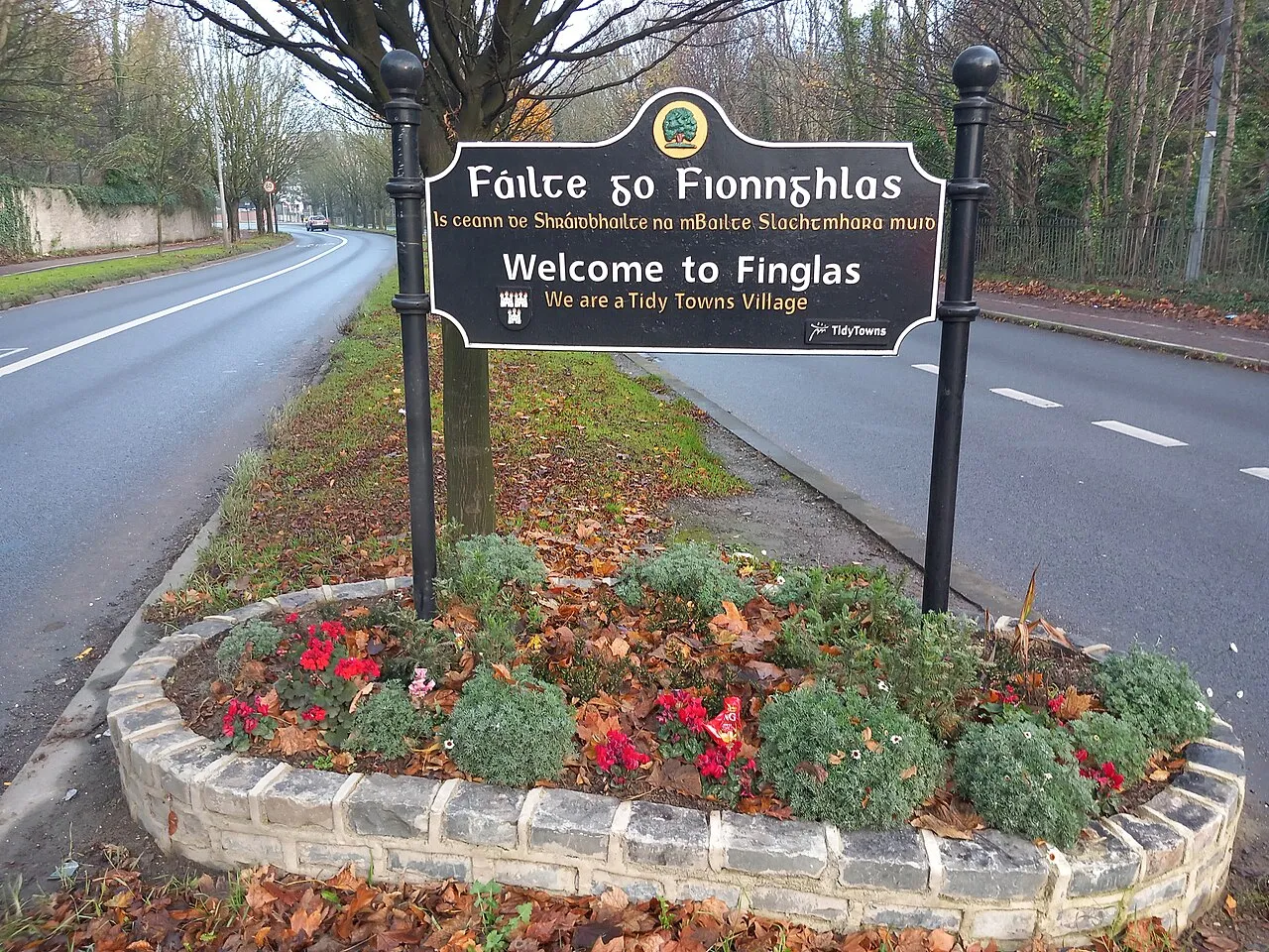
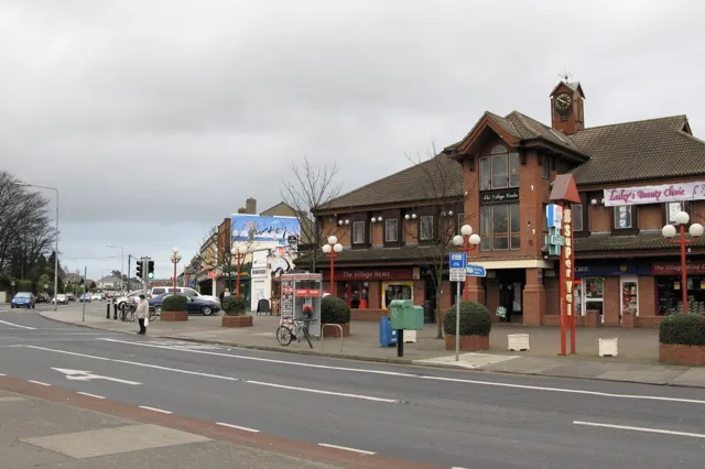
Finglas (; Irish: Fionnghlas, meaning 'clear streamlet') is a northwestern outer suburb of Dublin, Ireland. It lies close to Junction 5 of the M50 motorway, and the N2 road. Nearby suburbs include Glasnevin and Ballymun; Dublin Airport is seven km (4.3 mi) to the north. Finglas lies mainly in the postal district of Dublin 11. Finglas is the core of a civil parish of the same name in the barony of Castleknock.
Read more on Wikipedia Text: Wikipedia contributors · CC BY-SA 4.0 · shortened
In comparison
- No. 2 of 30 places in Dublin City by population
- Nearest larger town: Dublin, 7 km SE
- 54 sights and natural places within 10 km Poppintree Park, Dalymount Park
Nearby attractions & nature
Everything nearby-
Poppintree Park Natural site, Dublin City1.3 km NE
-
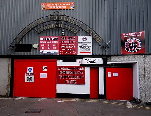 Dalymount Park Landmark, Dublin City3.4 km SE
-
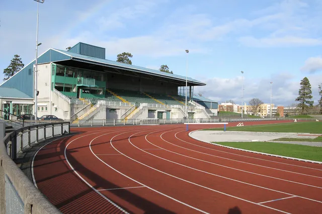 Santry Landmark, Fingal3.7 km E
-
Phoenix Park Natural site, Dublin City4.2 km SW
-
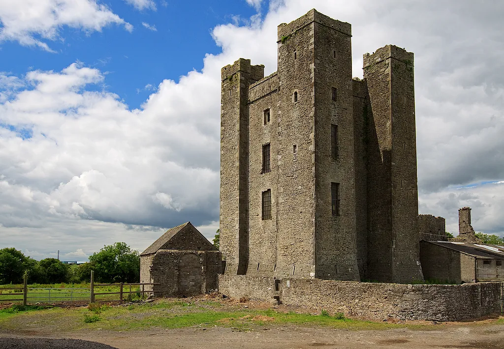 Dunsoghly Castle Historic site, Fingal4.4 km N
-
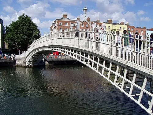 Ha'penny Bridge Landmark, Dublin City5.3 km SE
-
Collins Barracks Museum, Dublin City4.5 km S
-
Zoo Dublin Attraction, Dublin City4 km S
Other cities and towns in Dublin City
-
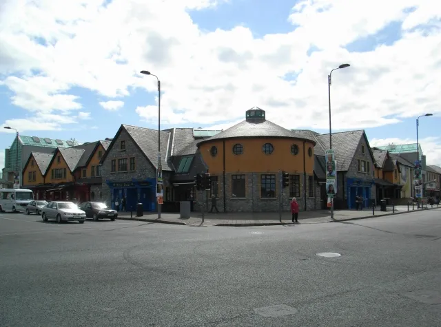 Crumlin Town, Dublin City7.6 km S
-
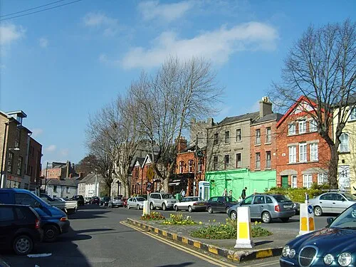 Chapelizod Town, Dublin City5.5 km SW
-
Dublin City, Dublin City7 km SE
-
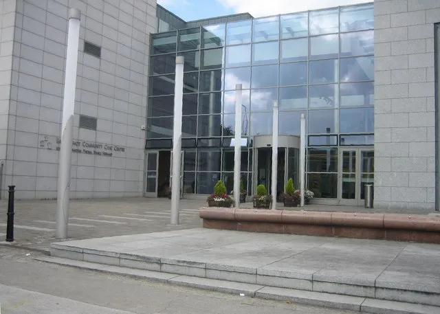 Ballyfermot Town, Dublin City6.4 km SW
-
 Killester Town, Dublin City6.4 km E
-
 Walkinstown Town, Dublin City7.2 km SW
Sources & licences
Data last updated: · 2 independent sources