Crumlin
Local name: Cromghlinn
Located in Dublin City, Leinster Coordinates: 53°19′18″ N 6°18′52″ W
- Population
- 11,294
- 11.3K
- Elevation
- 44 m
- above sea level
- Local time
- UTC+00:00
- Europe/Dublin · UTC+00:00
About Crumlin
Crumlin is a town. Location: Dublin City, Leinster. Population: 11,294. Elevation: 44 m.
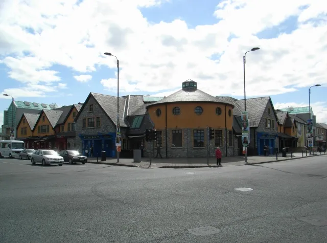
Crumlin (Irish: Croimghlinn, meaning 'Crooked Glen') is a Southside suburb of Dublin, Ireland. Formerly a rural area, it became heavily built up from the early 20th century onwards. Crumlin is the site of Ireland's largest children's hospital, Our Lady's Children's Hospital. The population of all electoral divisions labelled as Crumlin was 19,287 as of the 2022 census. Crumlin is in a townland and civil parish of the same name.
Read more on Wikipedia Text: Wikipedia contributors · CC BY-SA 4.0 · shortened
In comparison
- No. 4 of 30 places in Dublin City by population
- Nearest larger town: Templeogue, 3 km S
- 57 sights and natural places within 10 km Brickfields Park, Mount Argus Church
Nearby attractions & nature
Everything nearby-
Brickfields Park Natural site, Dublin City1.2 km NE
-
Mount Argus Church Attraction, Dublin City1.8 km E
-
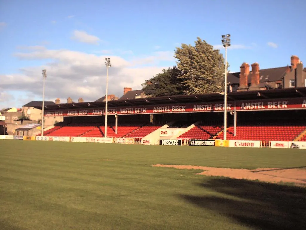 Richmond Park Landmark, Dublin City2.2 km N
-
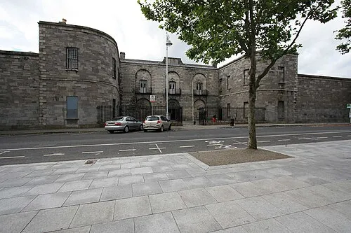 Kilmainham Gaol Museum, Dublin City2.3 km N
-
Collins Barracks Museum, Dublin City3.5 km NE
-
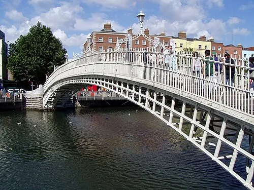 Ha'penny Bridge Landmark, Dublin City4.4 km NE
-
Phoenix Park Natural site, Dublin City4 km N
-
National Stadium Landmark, Dublin City2.5 km NE
Other cities and towns in Dublin City
-
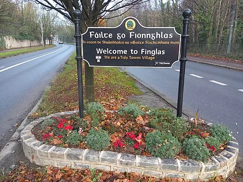 Finglas Town, Dublin City7.6 km N
-
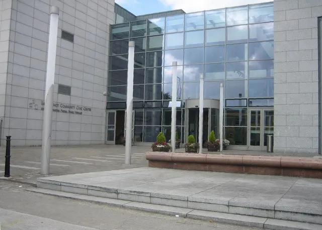 Ballyfermot Town, Dublin City3.6 km NW
-
Dublin City, Dublin City4.5 km E
-
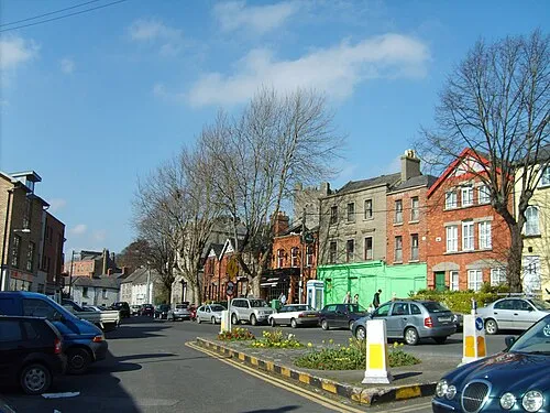 Chapelizod Town, Dublin City3.6 km NW
-
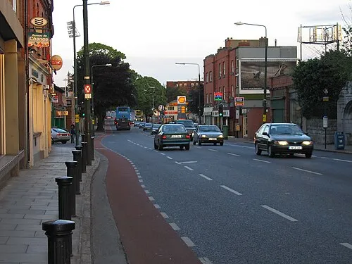 Donnybrook Town, Dublin City6.2 km E
-
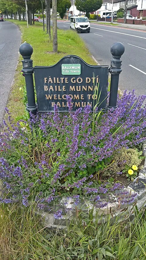 Ballymun Town, Dublin City9.1 km N
Sources & licences
Data last updated: · 2 independent sources