Templeogue
Local name: Teach Mealóg
Located in South Dublin, Leinster Coordinates: 53°17′43″ N 6°18′32″ W
- Population
- 18,076
- 18.1K
- Elevation
- 57 m
- above sea level
- Local time
- UTC+00:00
- Europe/Dublin · UTC+00:00
About Templeogue
Templeogue is a neighbourhood. Location: South Dublin, Leinster. Population: 18,076.
Templeogue is a southwestern suburb of Dublin, Ireland. It lies between the River Poddle and River Dodder, and is about halfway from Dublin's centre to the mountains to the south.
Read more on Wikipedia Text: Wikipedia contributors · CC BY-SA 4.0 · shortened
At a glance
- Area
- 5.3 km²
Source: Wikidata
In comparison
- No. 3 of 18 places in South Dublin by population
- Nearest larger town: Dublin South, 2 km W
- 65 sights and natural places within 10 km Owendoher River, Mount Argus Church
Nearby attractions & nature
Everything nearby-
Owendoher River River, Leinster2 km NE
-
Brickfields Park Natural site, Dublin City3.9 km N
-
Dargle River River, Leinster3.7 km SE
-
Mount Argus Church Attraction, Dublin City3.3 km NE
-
Killakee Mountain Mountain, South Dublin7.4 km S
-
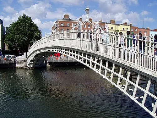 Ha'penny Bridge Landmark, Dublin City6.4 km NE
Sources & licences
Data last updated: · 2 independent sources