Santry
Local name: Seantrabh
Located in Dublin City, Leinster Coordinates: 53°23′53″ N 6°15′10″ W
- Elevation
- 60 m
- above sea level
- Local time
- UTC+00:00
- Europe/Dublin · UTC+00:00
About Santry
Santry is a village. Location: Dublin City, Leinster. Elevation: 60 m.
Santry (Irish: Seantrabh, meaning 'old tribe') is a suburb on the northside of Dublin, Ireland, bordering Coolock, Glasnevin, Kilmore and Ballymun. It straddles the boundary of Dublin City Council and Fingal County Council jurisdictions. The repository of Trinity College Library, which holds three million books, is in Santry, along with Morton Stadium athletics facility. Santry is also the name of a civil parish in the ancient barony of Coolock.
Read more on Wikipedia Text: Wikipedia contributors · CC BY-SA 4.0 · shortened
In comparison
- Nearest larger town: Ballymun, 1 km W
- 60 sights and natural places within 10 km Santry, Poppintree Park
Nearby attractions & nature
Everything nearby-
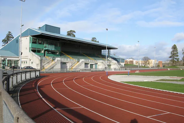 Santry Landmark, Fingal0.6 km NE
-
Poppintree Park Natural site, Dublin City2 km W
-
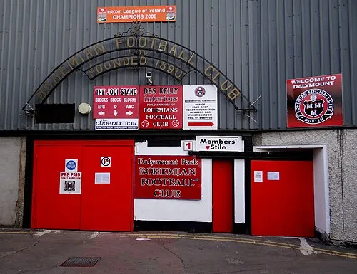 Dalymount Park Landmark, Dublin City4.3 km S
-
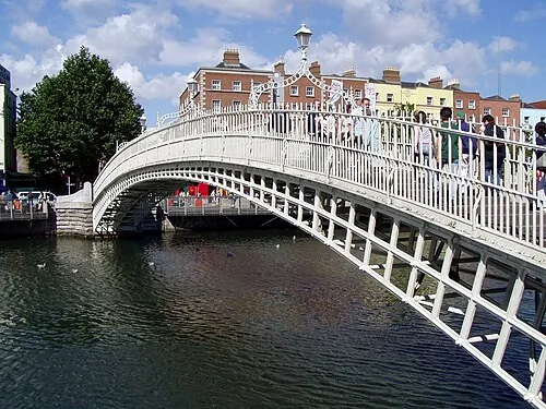 Ha'penny Bridge Landmark, Dublin City5.8 km S
-
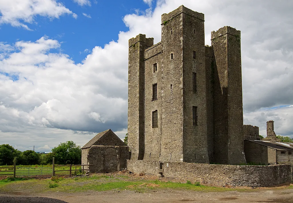 Dunsoghly Castle Historic site, Fingal5.4 km NW
-
3Arena Attraction, Dublin City5.9 km S
Sources & licences
Data last updated: · 2 independent sources