Whitehall
Local name: Fionnbhrú
Located in Dublin City, Leinster Coordinates: 53°22′59″ N 6°14′25″ W
- Elevation
- 43 m
- above sea level
- Local time
- UTC+00:00
- Europe/Dublin · UTC+00:00
About Whitehall
Whitehall is a village. Location: Dublin City, Leinster. Elevation: 43 m.
Whitehall (Irish: Fionnbhrú) is a suburb on the northside of Dublin, Ireland. Whitehall is a residential area on the northern outskirts of Dublin's inner city, located near the M1 motorway leading to Dublin Airport, Swords and Belfast. It is situated between the suburbs of Santry, Drumcondra and Glasnevin. North of Whitehall, the M1 motorway begins at its junction with the M50, past the Dublin Port Tunnel's northern entrance. The area is adjacent to Beaumont Hospital and to Dublin City University on Collins Avenue.
Read more on Wikipedia Text: Wikipedia contributors · CC BY-SA 4.0 · shortened
In comparison
- Nearest larger town: Beaumont, 1 km NE
- 63 sights and natural places within 10 km Santry, Fairview Park
Nearby attractions & nature
Everything nearby-
 Santry Landmark, Fingal2 km N
-
 Dalymount Park Landmark, Dublin City3.3 km SW
-
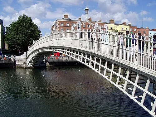 Ha'penny Bridge Landmark, Dublin City4.4 km S
-
3Arena Attraction, Dublin City4 km S
-
Fairview Park Natural site, Dublin City2.6 km S
-
Croke Park Natural site, Dublin City2.6 km S
Sources & licences
Data last updated: · 2 independent sources