Clontarf
Local name: Cluain Tarbh
Located in Dublin City, Leinster Coordinates: 53°21′45″ N 6°12′30″ W
- Elevation
- 8 m
- above sea level
- Local time
- UTC+00:00
- Europe/Dublin · UTC+00:00
About Clontarf
Clontarf is a village. Location: Dublin City, Leinster. Elevation: 8 m.
Clontarf (Irish: Cluain Tarbh, meaning 'meadow of (the) bulls') is an affluent coastal suburb on the Northside of Dublin in the city's Dublin 3 postal district. Historically, there were two centres of population, one on the coast towards the city, and the fishing village of Clontarf Sheds, further north on the coast at what is now Vernon Avenue. Clontarf has a range of retail businesses in several locations, mainly centred on Vernon Avenue. It adjoins Fairview, Marino, Killester and Raheny.
Read more on Wikipedia Text: Wikipedia contributors · CC BY-SA 4.0 · shortened
In comparison
- Nearest larger town: Killester, 1 km N
- 59 sights and natural places within 10 km Tolka River, Fairview Park
Nearby attractions & nature
Everything nearby-
3Arena Attraction, Dublin City2.1 km SW
-
River Dodder River, Dublin City2.6 km SW
-
Tolka River River, Dublin City1.7 km W
-
Fairview Park Natural site, Dublin City1.9 km W
-
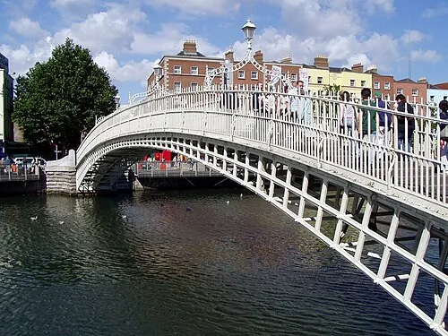 Ha'penny Bridge Landmark, Dublin City4.1 km SW
-
River Liffey River, Dublin City2 km S
Sources & licences
Data last updated: · 2 independent sources