Rathmines
Local name: Ráth Maonais
Located in Dublin City, Leinster Coordinates: 53°19′13″ N 6°15′48″ W
- Population
- 11,044
- 11K
- Elevation
- 27 m
- above sea level
- Local time
- UTC+00:00
- Europe/Dublin · UTC+00:00
About Rathmines
Rathmines is a neighbourhood. Location: Dublin City, Leinster. Population: 11,044.
Rathmines (; Irish: Ráth Maonais, meaning 'ringfort of Maonas') is an inner suburb on the Southside of Dublin in Ireland. It begins at the southern side of the Grand Canal and stretches along the Rathmines Road as far as Rathgar to the south, Ranelagh to the east, and Harold's Cross to the west. It is situated in the city's D06 postal district.
Read more on Wikipedia Text: Wikipedia contributors · CC BY-SA 4.0 · shortened
In comparison
- No. 5 of 30 places in Dublin City by population
- Nearest larger town: Dublin, 2 km NE
- 57 sights and natural places within 10 km Mount Argus Church, National Stadium
Nearby attractions & nature
Everything nearby-
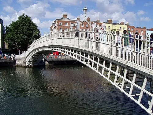 Ha'penny Bridge Landmark, Dublin City2.9 km N
-
Mount Argus Church Attraction, Dublin City1.6 km W
-
National Stadium Landmark, Dublin City1.6 km NW
-
Brickfields Park Natural site, Dublin City2.9 km W
-
Owendoher River River, Leinster2.2 km SW
-
St. Patrick’s Cathedral Attraction, Dublin City2.2 km N
Sources & licences
Data last updated: · 2 independent sources