Ranelagh
Local name: Raghnallach
Located in Dublin City, Leinster Coordinates: 53°19′37″ N 6°15′26″ W
- Elevation
- 21 m
- above sea level
- Local time
- UTC+00:00
- Europe/Dublin · UTC+00:00
About Ranelagh
Ranelagh is a village. Location: Dublin City, Leinster. Elevation: 21 m.
Ranelagh ( RAN-ə-lə, locally REN-; Irish: Raghnallach, IPA: [ˈɾˠəinˠəl̪ˠəx]) is an affluent residential area and urban village on the Southside of Dublin, Ireland in the postal district of Dublin 6. Ranelagh was originally a village called Cullenswood. It has a history of conflict, including the attack on English inhabitants in 1207 and the Battle of Rathmines in 1649. Incorporated into Dublin in the 19th century, it experienced significant development.
Read more on Wikipedia Text: Wikipedia contributors · CC BY-SA 4.0 · shortened
In comparison
- Nearest larger town: Rathmines, 1 km SW
- 57 sights and natural places within 10 km Saint Stephens Green Park, St. Stephen's Green
Nearby attractions & nature
Everything nearby-
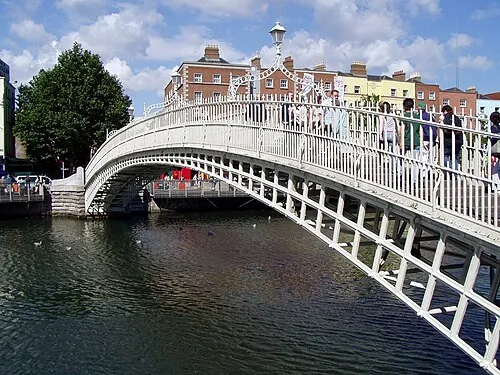 Ha'penny Bridge Landmark, Dublin City2.2 km N
-
Saint Stephens Green Park Natural site, Dublin City1.2 km N
-
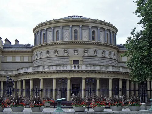 National Museum of Ireland Museum, Dublin City1.4 km N
-
St. Stephen's Green Natural site, Dublin City1.2 km N
-
National Botanic Gardens of Ireland Attraction, Dublin City1.5 km N
-
National Stadium Landmark, Dublin City1.6 km W
Sources & licences
Data last updated: · 2 independent sources