National Museum of Ireland
Located in Dublin City, Leinster Coordinates: 53°20′23″ N 6°15′12″ W
- Local time
- UTC+00:00
- Europe/Dublin · UTC+00:00
- Elevation
- 15 m
- above sea level
- Airports
- DUB Dublin Airport10 km
- IOM Isle of Man Airport136 km
About National Museum of Ireland
National Museum of Ireland is a museum. Location: Dublin City, Leinster.
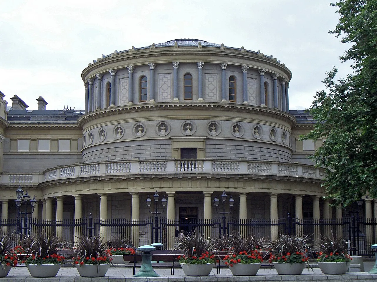
The National Museum of Ireland (Irish: Ard-Mhúsaem na hÉireann) is Ireland's leading museum institution, with a strong emphasis on national and some international archaeology, Irish history, Irish art, culture, and natural history. It has three branches in Dublin, the archaeology and natural history museums adjacent on Kildare Street and Merrion Square, and a newer Decorative Arts and History branch at the former Collins Barracks, and the Country Life museum in County Mayo.
Source: Wikipedia · CC BY-SA 4.0
At a glance
- Built
- 1877
- Opened
- 1890
- Visitors per year
- 783,278
- Official website
- museum.ie
Source: Wikidata
Photos of National Museum of Ireland
-

Cawlef · CC BY-SA 4.0 -

Ridiculopathy · CC0 -

Ridiculopathy · CC0 -

Abbey Theatre Flickr user bjaglin · CC BY 2.0 -
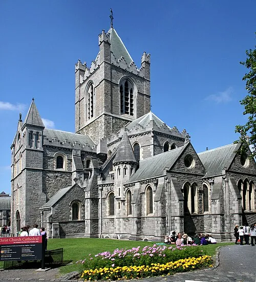
Christ Church Cathedral Ingo Mehling · CC BY-SA 4.0


Climate of National Museum of Ireland
Best months for sightseeingBest months for sightseeing: June–September.
This month · November
A cold month
Day 10° · Night 4° · Rain 70 mm
- Hottest month
- July (day 20°)
- Coldest month
- January (night 2°)
- Wettest month
- December (75 mm)
- Driest month
- April (52 mm)
Bars: average monthly low and high temperature. Below: precipitation. Monthly averages for 1970–2000 at about 18 km resolution, adjusted for elevation. Highlighted months are mild and relatively dry. Source: WorldClim 2.1 (CC BY 4.0).
Show values as a table
| Month | Jan | Feb | Mar | Apr | May | Jun | Jul | Aug | Sep | Oct | Nov | Dec |
|---|---|---|---|---|---|---|---|---|---|---|---|---|
| Average high (°C) | 8° | 8° | 10° | 12° | 15° | 18° | 20° | 20° | 17° | 14° | 10° | 9° |
| Average low (°C) | 2° | 2° | 3° | 4° | 7° | 9° | 12° | 11° | 9° | 7° | 4° | 3° |
| Precipitation (mm) | 70 | 55 | 55 | 52 | 52 | 57 | 53 | 70 | 64 | 73 | 70 | 75 |
Other places to visit in this season: June July August September
How to get to National Museum of Ireland
The nearest airport is Dublin Airport (DUB), 10 km to the north as the crow flies. The nearest large city is Dublin, 1 km to the south.
Airports
- Dublin Airport (DUB) Dublin 10 kmnorth
- Isle of Man Airport (IOM) Castletown, Rushen 136 kmnortheast
- George Best Belfast City Airport (BHD) Belfast 144 kmnorth
Nearby large cities
- Dublin Population: 1M 1 kmsouth
- Belfast Population: 348K 142 kmnorth
- Limerick Population: 102.3K 176 kmsouthwest
- Birkenhead Population: 325.3K 216 kmeast
- Liverpool Population: 496.8K 218 kmeast
Straight-line distances; road distances are longer. Airport data: OurAirports.
Day trips from National Museum of Ireland
Within 100 km: 288 historic and cultural sites, 488 natural sites, 384 lakes, rivers and coasts.
0–25 km169 places
- Sandymount Strand Beach 4 kmE
- Portmarnock Beach Beach 12 kmNE
- North Bull Island Island 8 kmNE
- Lambay Island Island 23 kmNE
25–60 km410 places
- Wicklow Mountains Mountain 29 kmS
- Rockabill Island 33 kmNE
- Pollboy Bridge Landmark 45 kmNW
- Skerries Islands Island 29 kmN
60–100 km581 places
- White Island Island 92 kmN
- Black Island Island 92 kmN
- Cro Inis Island 76 kmW
- Tullynawood Lake Lake 100 kmN
Straight-line distances.
Nearby attractions & nature
Everything nearby-
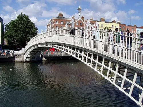 Ha'penny Bridge Landmark, Dublin City1 km NW
-
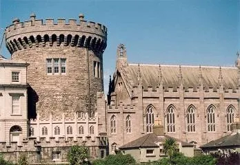 Dublin Castle Historic site, Dublin City1 km NW
-
Abbey Theatre Attraction, Dublin City1 km N
-
Christ Church Cathedral Attraction, Dublin City1.3 km W
-
National Botanic Gardens of Ireland Attraction, Dublin City0.3 km E
-
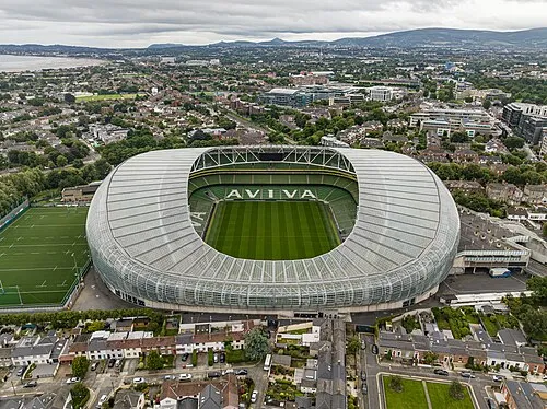 Aviva Stadium Landmark, Dublin City1.8 km E
-
Trinity Chapel Attraction, Dublin City0.6 km NW
-
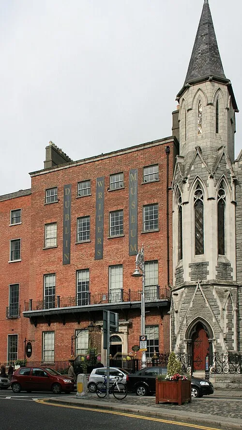 Dublin Writers Museum Museum, Dublin City1.8 km NW
Nearest towns and villages


More sights in Dublin City
-
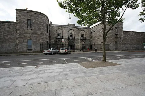 Kilmainham Gaol Museum, Dublin City3.8 km W
-
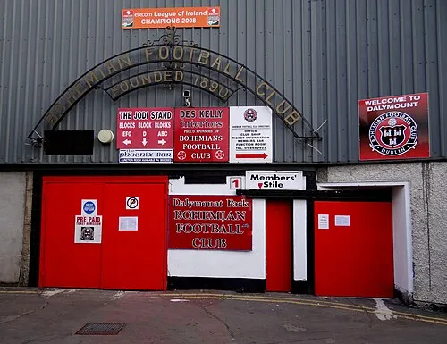 Dalymount Park Landmark, Dublin City2.9 km NW
-
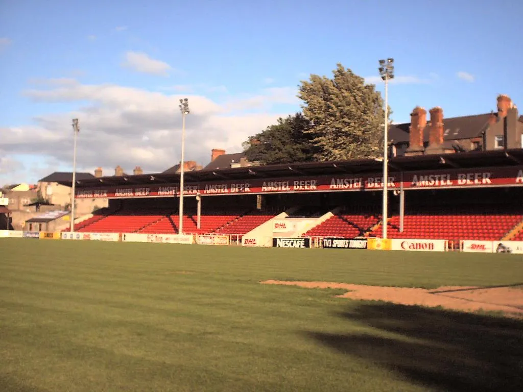 Richmond Park Landmark, Dublin City4.2 km W
-
O’Connell Bridge Landmark, Dublin City0.9 km NW
-
Sean O’Casey Bridge Landmark, Dublin City0.9 km N
-
Jeanie Johnston Tall Ship Museum, Dublin City1 km NE
Sources & licences
Data last updated: · 2 independent sources