Dublin Castle
Local name: Caisleán Bhaile Átha Cliath
Located in Dublin City, Leinster Coordinates: 53°20′38″ N 6°15′59″ W
- Local time
- UTC+00:00
- Europe/Dublin · UTC+00:00
- Elevation
- 17 m
- above sea level
About Dublin Castle
Dublin Castle is a historic site. Location: Dublin City, Leinster.
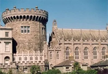
Dublin Castle (Irish: Caisleán Bhaile Átha Cliath) is a major Irish government complex, conference centre, and tourist attraction. It is located off Dame Street in central Dublin. Originally a motte-and-bailey castle chosen for its position at the highest point of central Dublin, it was mostly rebuilt, from the late 17th century onward, as a Georgian palace. Many of the current buildings date from the 18th century, though a castle has stood on the site since the days of King John, the first Lord of Ireland.
Read more on Wikipedia Text: Wikipedia contributors · CC BY-SA 4.0 · shortened
At a glance
- Built
- 1204
Source: Wikidata
In comparison
- 52 sights and natural places within 10 km Ha'penny Bridge, Christ Church Cathedral
Nearby attractions & nature
Everything nearby-
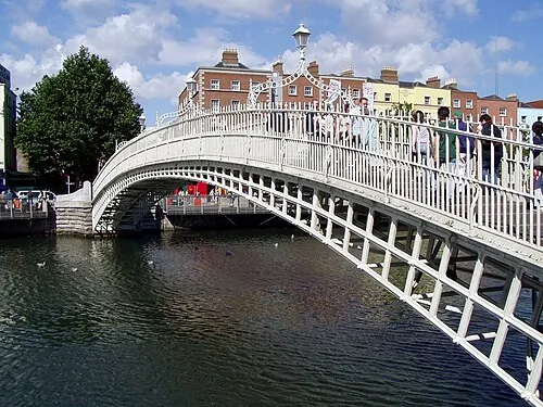 Ha'penny Bridge Landmark, Dublin City0.3 km NE
-
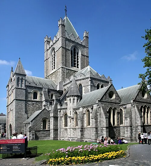 Christ Church Cathedral Attraction, Dublin City0.4 km W
-
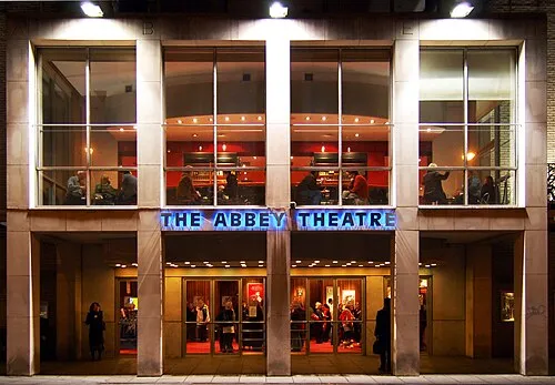 Abbey Theatre Attraction, Dublin City0.8 km NE
-
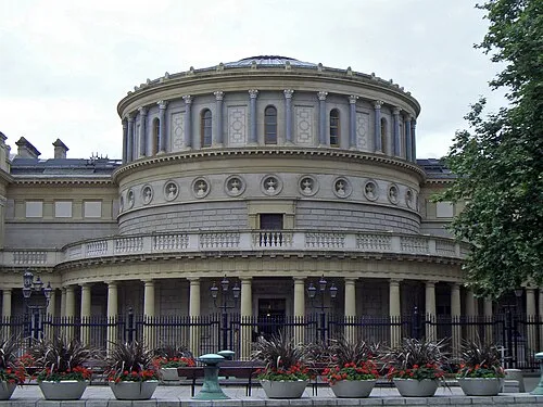 National Museum of Ireland Museum, Dublin City1 km SE
-
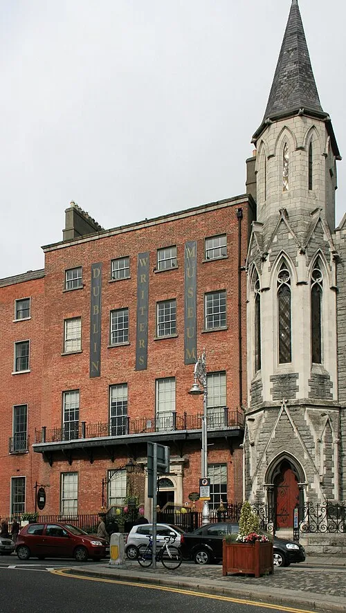 Dublin Writers Museum Museum, Dublin City1.2 km N
-
Four Courts Attraction, Dublin City0.5 km NW
-
Trinity Chapel Attraction, Dublin City0.6 km E
-
O’Connell Bridge Landmark, Dublin City0.6 km NE
Nearest towns and villages
More sights in Dublin City
-
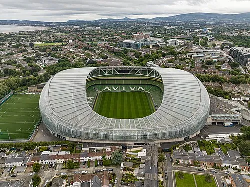 Aviva Stadium Landmark, Dublin City2.7 km SE
-
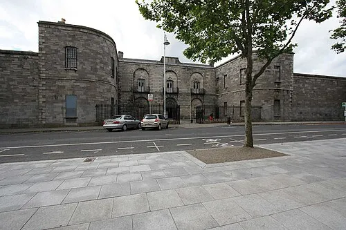 Kilmainham Gaol Museum, Dublin City2.9 km W
-
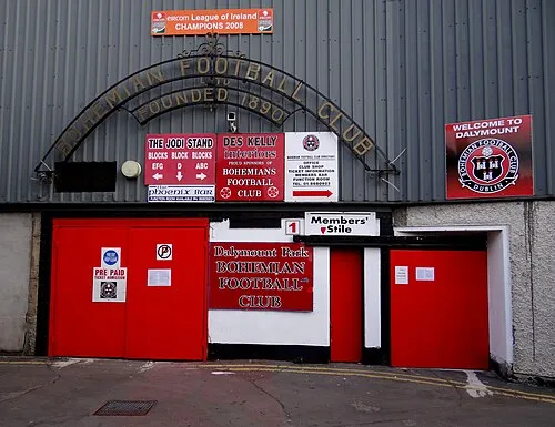 Dalymount Park Landmark, Dublin City2.1 km N
-
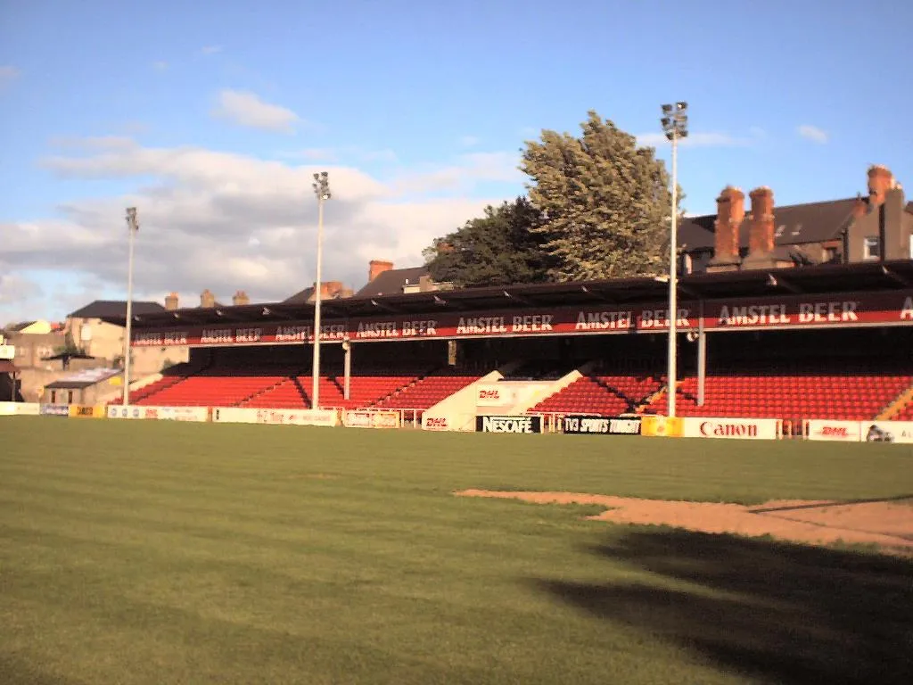 Richmond Park Landmark, Dublin City3.4 km W
-
St. Patrick’s Cathedral Attraction, Dublin City0.6 km SW
-
The Spire Landmark, Dublin City0.8 km NE
Sources & licences
Data last updated: · 2 independent sources