Temple Bar
Located in Dublin City, Leinster Coordinates: 53°20′42″ N 6°15′57″ W
- Elevation
- 16 m
- above sea level
- Local time
- UTC+00:00
- Europe/Dublin · UTC+00:00
About Temple Bar
Temple Bar is a neighbourhood. Location: Dublin City, Leinster.
Temple Bar (Irish: Barra an Teampaill) is an area on the south bank of the River Liffey in central Dublin, Ireland. The area is bounded by the Liffey to the north, Dame Street to the south, Westmoreland Street to the east and Fishamble Street to the west. It is promoted as Dublin's 'cultural quarter' and, as a centre of Dublin's city centre's nightlife, is a tourist destination. Temple Bar is in the Dublin 2 postal district.
Read more on Wikipedia Text: Wikipedia contributors · CC BY-SA 4.0 · shortened
In comparison
- Nearest larger town: Dublin, 2 km SE
- 53 sights and natural places within 10 km Dublin Castle, Ha'penny Bridge
Nearby attractions & nature
Everything nearby-
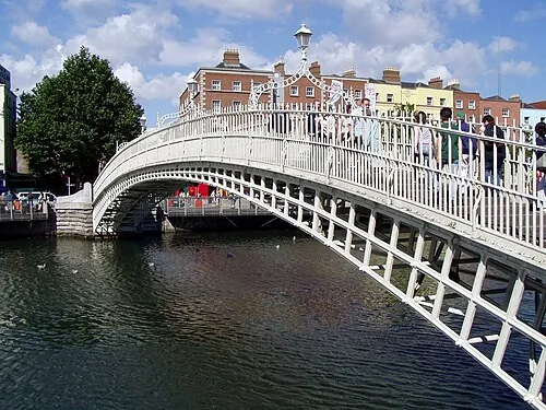 Ha'penny Bridge Landmark, Dublin City0.2 km NE
-
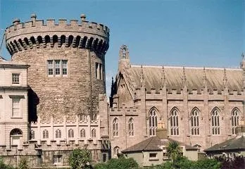 Dublin Castle Historic site, Dublin City0.1 km S
-
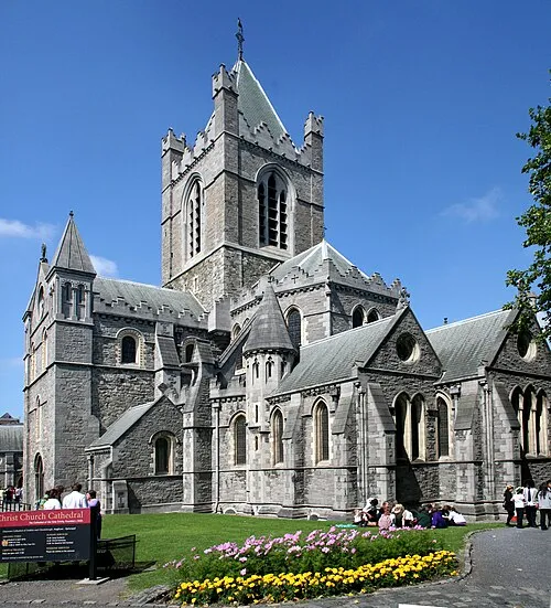 Christ Church Cathedral Attraction, Dublin City0.4 km SW
-
O’Connell Bridge Landmark, Dublin City0.5 km NE
-
Trinity Chapel Attraction, Dublin City0.5 km E
-
Four Courts Attraction, Dublin City0.5 km W
Sources & licences
Data last updated: · 2 independent sources