Smithfield
Located in Dublin City, Leinster Coordinates: 53°20′55″ N 6°16′22″ W
- Elevation
- 8 m
- above sea level
- Local time
- UTC+00:00
- Europe/Dublin · UTC+00:00
About Smithfield
Smithfield is a neighbourhood. Location: Dublin City, Leinster.
Smithfield (Irish: Margadh na Feirme, meaning 'Farm Market') is an area on the Northside of Dublin, Ireland. Its focal point is a public square, formerly an open market and common, now officially called Smithfield Plaza, but known locally as Smithfield Square or Smithfield Market. Historically, Smithfield formed the western part of Oxmantown and lay close to Oxmantown Green. Originally, Smithfield lay within the civil parish of St. Paul's, and was served by the Church of Ireland St.
Read more on Wikipedia Text: Wikipedia contributors · CC BY-SA 4.0 · shortened
In comparison
- Nearest larger town: Rialto, 2 km SW
- 53 sights and natural places within 10 km Four Courts, Christ Church Cathedral
Nearby attractions & nature
Everything nearby-
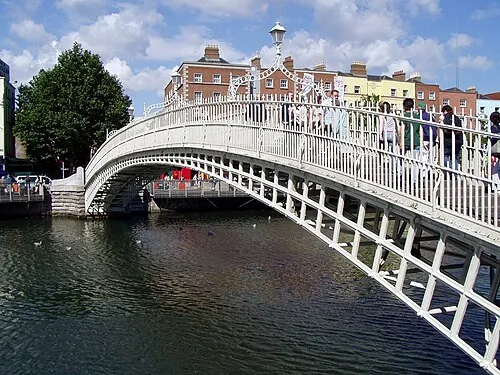 Ha'penny Bridge Landmark, Dublin City0.7 km E
-
Collins Barracks Museum, Dublin City1 km W
-
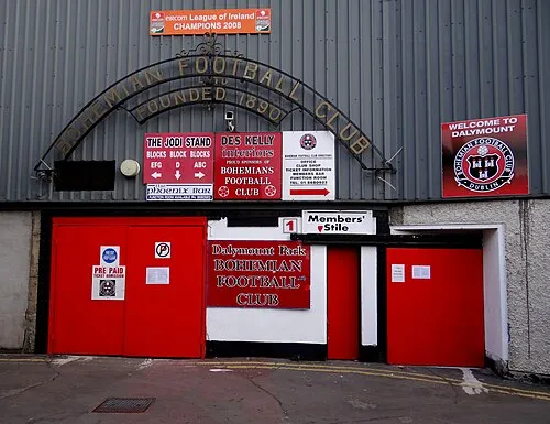 Dalymount Park Landmark, Dublin City1.5 km N
-
Four Courts Attraction, Dublin City0.3 km S
-
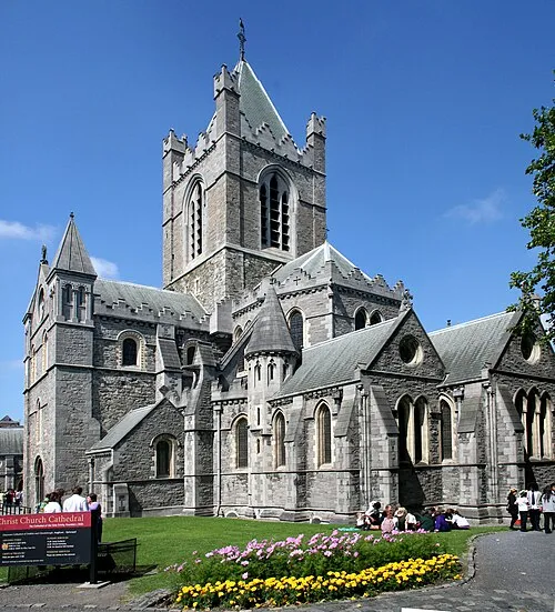 Christ Church Cathedral Attraction, Dublin City0.6 km S
-
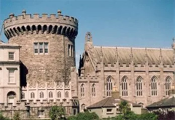 Dublin Castle Historic site, Dublin City0.7 km SE
Sources & licences
Data last updated: · 2 independent sources