Rathmichael
Local name: Ráth Michíl
Located in Dún Laoghaire-Rathdown, Leinster Coordinates: 53°14′11″ N 6°09′18″ W
- Elevation
- 85 m
- above sea level
- Local time
- UTC+00:00
- Europe/Dublin · UTC+00:00
About Rathmichael
Rathmichael is a village. Location: Dún Laoghaire-Rathdown, Leinster. Elevation: 85 m.
Rathmichael (Irish: Ráth Mhichíl) is a suburb on the southside of Dublin, in the local government area of Dún Laoghaire–Rathdown, near the southern border of County Dublin with County Wicklow. It is situated west of Shankill from which it is, roughly, separated by the M50/M11 motorways. It is also a civil parish in the barony of Rathdown.
Read more on Wikipedia Text: Wikipedia contributors · CC BY-SA 4.0 · shortened
In comparison
- Nearest larger town: Loughlinstown, 2 km NE
- 35 sights and natural places within 10 km Shankill Castle, Carrickgollogan
Nearby attractions & nature
Everything nearby-
Shankill Castle Historic site, Dún Laoghaire-Rathdown1.4 km SE
-
Carrickgollogan Mountain, Dún Laoghaire-Rathdown2.2 km S
-
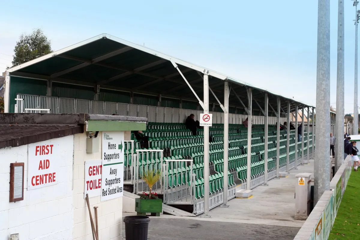 Carlisle Grounds Landmark, Ireland4.9 km SE
-
Cork Abbey Attraction, Dún Laoghaire-Rathdown4.1 km SE
-
Dargle River River, Ireland4.8 km SE
-
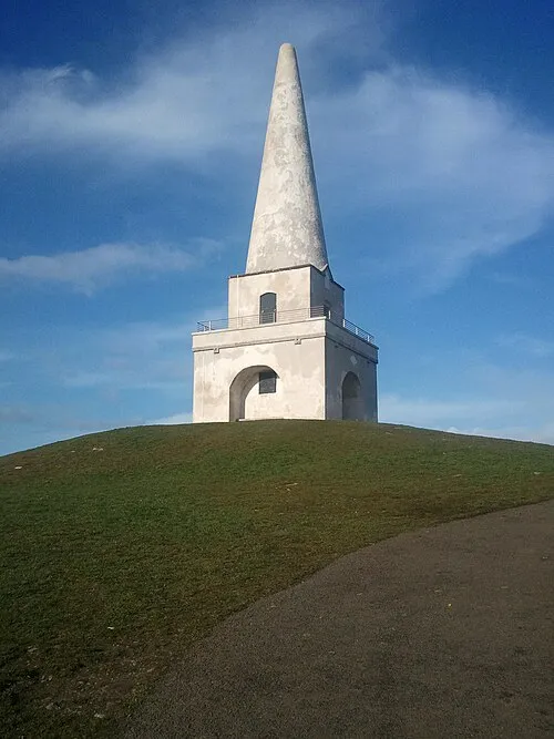 Killiney Hill Mountain, Dún Laoghaire-Rathdown4.3 km NE
Sources & licences
Data last updated: · 2 independent sources