Cherrywood
Local name: Coill na Silíní
Located in Dún Laoghaire-Rathdown, Leinster Coordinates: 53°14′37″ N 6°08′21″ W
- Elevation
- 38 m
- above sea level
- Local time
- UTC+00:00
- Europe/Dublin · UTC+00:00
- Airports
- DUB Dublin Airport22 km
- IOM Isle of Man Airport137 km
About Cherrywood
Cherrywood is a village. Location: Dún Laoghaire-Rathdown, Leinster. Elevation: 38 m.
Cherrywood (Irish: Coill na Silíní) is a developing suburb of Dublin, Ireland, bordering Cabinteely, Loughlinstown and Rathmichael. It is located to the southeast of the city, in Dún Laoghaire–Rathdown. The development commenced on a greenfield site in 1998 and primarily comprises Cherrywood Business Park and new residential and retail development. Development of the suburb stalled following the economic downturn, but resumed in the late 2010s and remains in continuous state of development as of late 2024.
Source: Wikipedia · CC BY-SA 4.0
Climate of Cherrywood
Best months for sightseeingBest months for sightseeing: June–September.
This month · November
A cold month
Day 10° · Night 4° · Rain 77 mm
- Hottest month
- July (day 20°)
- Coldest month
- January (night 2°)
- Wettest month
- December (82 mm)
- Driest month
- April (52 mm)
Bars: average monthly low and high temperature. Below: precipitation. Monthly averages for 1970–2000 at about 18 km resolution, adjusted for elevation. Highlighted months are mild and relatively dry. Source: WorldClim 2.1 (CC BY 4.0).
Show values as a table
| Month | Jan | Feb | Mar | Apr | May | Jun | Jul | Aug | Sep | Oct | Nov | Dec |
|---|---|---|---|---|---|---|---|---|---|---|---|---|
| Average high (°C) | 8° | 8° | 10° | 12° | 15° | 18° | 20° | 19° | 17° | 14° | 10° | 8° |
| Average low (°C) | 2° | 2° | 3° | 4° | 7° | 10° | 12° | 11° | 10° | 7° | 4° | 3° |
| Precipitation (mm) | 78 | 62 | 60 | 52 | 53 | 58 | 58 | 75 | 68 | 81 | 77 | 82 |
Other places to visit in this season: June July August September
How to get to Cherrywood
The nearest airport is Dublin Airport (DUB), 22 km to the north as the crow flies. The nearest large city is Dublin, 12 km to the northwest.
Airports
- Dublin Airport (DUB) Dublin 22 kmnorth
- Isle of Man Airport (IOM) Castletown, Rushen 137 kmnortheast
- George Best Belfast City Airport (BHD) Belfast 154 kmnorth
Nearby large cities
- Dublin Population: 1M 12 kmnorthwest
- Belfast Population: 348K 151 kmnorth
- Limerick Population: 102.3K 179 kmwest
- Birkenhead Population: 325.3K 209 kmeast
- Liverpool Population: 496.8K 211 kmeast
Straight-line distances; road distances are longer. Airport data: OurAirports.
Day trips from Cherrywood
Within 100 km: 288 historic and cultural sites, 447 natural sites, 322 lakes, rivers and coasts.
0–25 km179 places
- Wicklow Mountains Mountain 22 kmSW
- Sandymount Strand Beach 11 kmN
- Portmarnock Beach Beach 19 kmN
- North Bull Island Island 14 kmN
25–60 km390 places
- Rockabill Island 40 kmN
- Pollboy Bridge Landmark 58 kmNW
- Skerries Islands Island 38 kmN
- Shenicks Island Island 37 kmN
60–100 km488 places
- Curracloe Beach Beach 96 kmS
- Kings Island Island 95 kmS
- Large Island Island 72 kmNW
- Small Island Island 72 kmNW
Straight-line distances.
Nearby attractions & nature
Everything nearby-
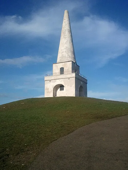 Killiney Hill Mountain, Dún Laoghaire-Rathdown3.1 km NE
-
Shankill Castle Historic site, Dún Laoghaire-Rathdown1.8 km S
-
Carrickgollogan Mountain, Dún Laoghaire-Rathdown3.2 km SW
-
Dalkey Hill Mountain, Dún Laoghaire-Rathdown3.7 km NE
-
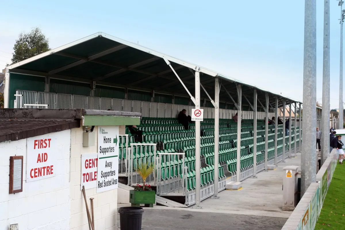 Carlisle Grounds Landmark, Ireland4.9 km SE
-
Cork Abbey Attraction, Dún Laoghaire-Rathdown4.1 km SE
Sources & licences
Data last updated: · 2 independent sources