Mulhuddart
Located in Fingal, Leinster Coordinates: 53°24′13″ N 6°24′04″ W
- Population
- 3,866
- 3.9K
- Elevation
- 59 m
- above sea level
- Local time
- UTC+00:00
- Europe/Dublin · UTC+00:00
About Mulhuddart
Mulhuddart is a village. Location: Fingal, Leinster. Population: 3,866. Elevation: 59 m.
Mulhuddart (Irish: Mullach Eadrad, meaning 'the hill of the milking place') is an outer suburb of Dublin, Ireland. It is 12 kilometres (7 mi) north-west of Dublin city centre. The River Tolka passes near the village. Mulhuddart is also a civil parish in the barony of Castleknock in County Dublin.
Read more on Wikipedia Text: Wikipedia contributors · CC BY-SA 4.0 · shortened
In comparison
- No. 17 of 26 places in Fingal by population
- Nearest larger town: Hartstown, 2 km SW
- 16 sights and natural places within 10 km Tolka Valley Park, Griffeen River
Nearby attractions & nature
Everything nearby-
Tolka Valley Park Natural site, Fingal1.3 km SE
-
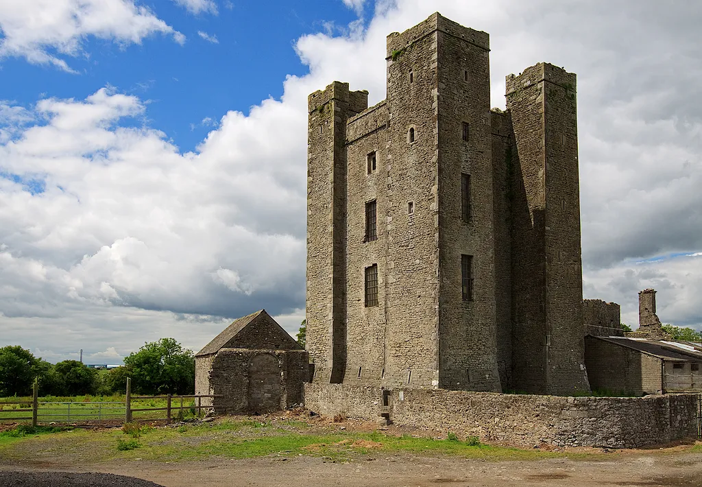 Dunsoghly Castle Historic site, Fingal6.1 km NE
-
Griffeen River River, Leinster6.1 km SW
-
 Dalymount Park Landmark, Dublin City9.6 km SE
-
Confey Abbey Attraction, County Kildare6.1 km SW
-
Rye Water River, Ireland7.4 km SW
Sources & licences
Data last updated: · 2 independent sources