Griffeen River
Located in Leinster, Ireland Coordinates: 53°21′32″ N 6°27′12″ W
- Elevation
- 21 m
- above sea level
- Local time
- UTC+00:00
- Europe/Dublin · UTC+00:00
About Griffeen River
Griffeen River is a river. Location: Leinster, Ireland.
In comparison
- 15 sights and natural places within 10 km Rye Water, Confey Abbey
Nearest towns and villages
-
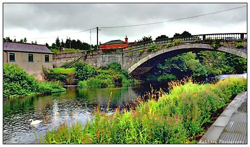 Lucan Town, South Dublin0.4 km SE
-
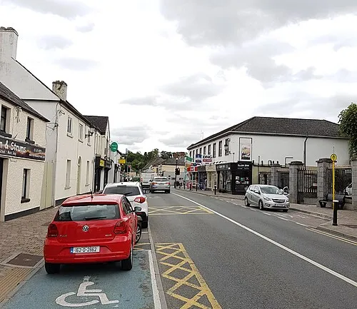 Leixlip Town, County Kildare2.9 km W
-
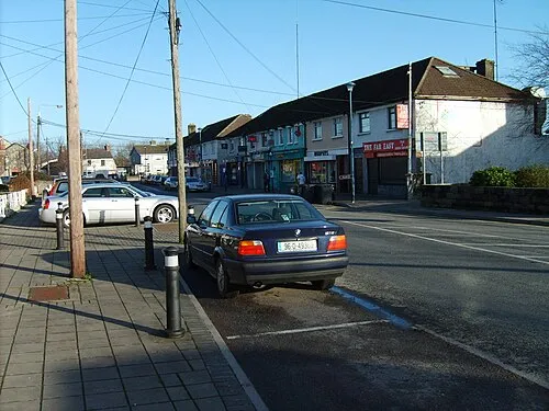 Palmerstown Town, South Dublin5.1 km E
-
 Blanchardstown Town, Fingal6.1 km NE
-
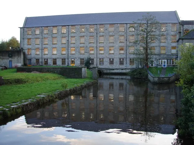 Celbridge Town, County Kildare6.3 km W
-
Confey Town, County Kildare3.4 km NW
Nearby attractions & nature
Everything nearby-
Rye Water River, Ireland2.6 km W
-
Confey Abbey Attraction, County Kildare3.1 km NW
-
Moyle Park Natural site, South Dublin5.7 km SE
-
Gollierstown Bridge Landmark, South Dublin3.6 km SW
-
Tolka Valley Park Natural site, Fingal6.1 km NE
-
Owendoher River River, Leinster13 km SE
-
Nangor Castle Historic site, South Dublin4.5 km S
-
Phoenix Park Natural site, Dublin City8.3 km E
More lakes, rivers and coasts in Ireland
-
Slade Brook River, Leinster16 km SE
-
Cot Brook River, Leinster17 km SE
-
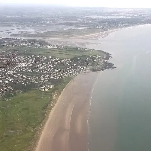 Velvet Strand Beach, Leinster23 km E
-
Lyreen River River, County Kildare11 km W
-
Morell River River, County Kildare12 km SW
-
Portmarnock Beach Beach, Leinster23 km E
Sources & licences
Data last updated: