Lucan
Local name: Leamhcán
Located in South Dublin, Leinster Coordinates: 53°21′26″ N 6°26′55″ W
- Population
- 15,269
- 15.3K
- Elevation
- 25 m
- above sea level
- Local time
- UTC+00:00
- Europe/Dublin · UTC+00:00
About Lucan
Lucan is a town. Location: South Dublin, Leinster. Population: 15,269. Elevation: 25 m.
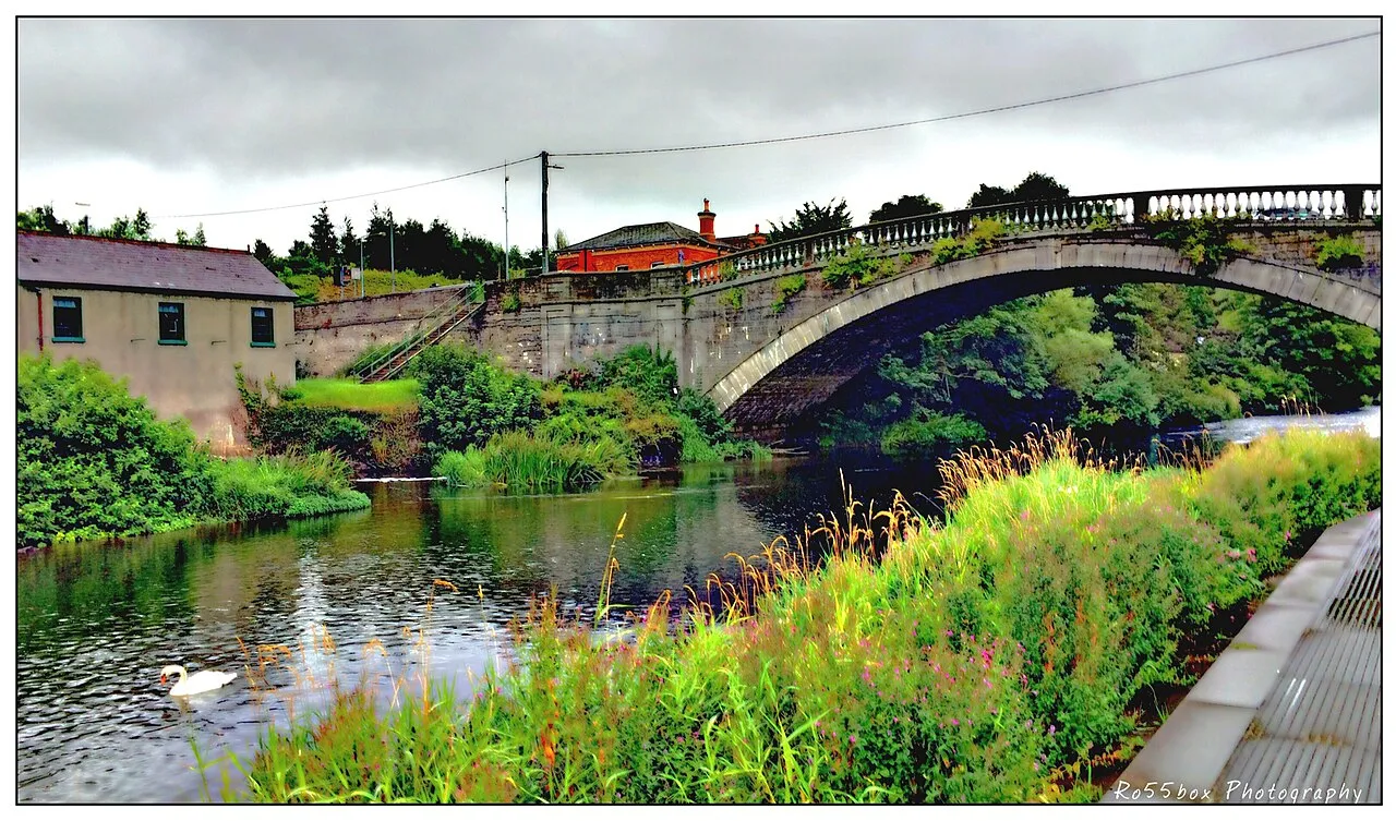
Lucan ( LEW-kən; Irish: Leamhcán) is a suburban village to the west of Dublin, Ireland, located 12 km from Dublin city centre, on the River Liffey. It is near the Strawberry Beds and Lucan Weir, and at the confluence of the River Griffeen. It is mostly in the local government area of South Dublin, with the exception of the North Lucan areas of Laraghcon, Coldblow and Saint Catherine's Park, which are in Fingal. Lucan is in a townland and civil parish of the same name, in the barony of Newcastle.
Read more on Wikipedia Text: Wikipedia contributors · CC BY-SA 4.0 · shortened
In comparison
- No. 5 of 18 places in South Dublin by population
- Nearest larger town: Leixlip, 3 km W
- 16 sights and natural places within 10 km Griffeen River, Rye Water
Nearby attractions & nature
Everything nearby-
Griffeen River River, Leinster0.4 km NW
-
Rye Water River, Ireland3 km W
-
Gollierstown Bridge Landmark, South Dublin3.6 km SW
-
Confey Abbey Attraction, County Kildare3.4 km NW
-
Nangor Castle Historic site, South Dublin4.2 km S
-
Moyle Park Natural site, South Dublin5.3 km SE
-
Deey Bridge & Lock 13 Landmark, County Kildare5.6 km W
-
Phoenix Park Natural site, Dublin City8 km E
Other cities and towns in South Dublin
-
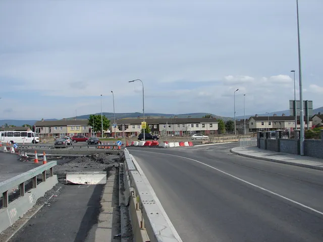 Jobstown Town, South Dublin9.2 km S
-
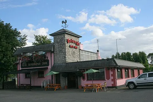 Knocklyon Town, South Dublin12 km SE
-
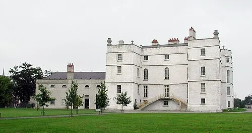 Rathfarnham Town, South Dublin13 km SE
-
Clondalkin Town, South Dublin5 km SE
-
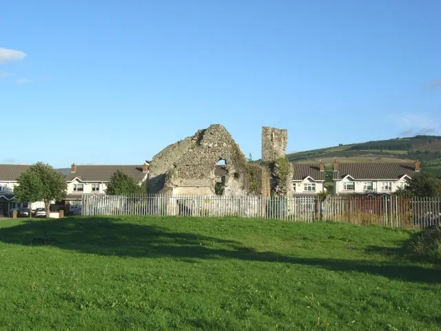 Oldbawn Town, South Dublin11 km SE
-
Tallaght City, South Dublin9.4 km SE
Sources & licences
Data last updated: · 2 independent sources