Rathfarnham
Local name: Ráth Fearnáin
Located in South Dublin, Leinster Coordinates: 53°18′02″ N 6°16′58″ W
- Population
- 17,333
- 17.3K
- Elevation
- 49 m
- above sea level
- Local time
- UTC+00:00
- Europe/Dublin · UTC+00:00
About Rathfarnham
Rathfarnham is a town. Location: South Dublin, Leinster. Population: 17,333. Elevation: 49 m.
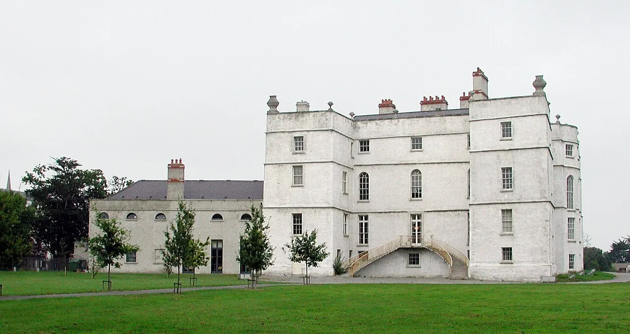
Rathfarnham (Irish: Ráth Fearnáin, meaning 'Fearnán's ringfort') is a southside suburb of Dublin, Ireland. It is south of Terenure, east of Templeogue, west of Churchtown, and is in the postal districts of Dublin 14 and Dublin 16. It is between the local government areas of Dún Laoghaire–Rathdown and South Dublin. Located within the historical baronies of Rathdown and Uppercross, Rathfarnham village originally developed around a fortification overlooking a ford on the River Dodder.
Read more on Wikipedia Text: Wikipedia contributors · CC BY-SA 4.0 · shortened
In comparison
- No. 4 of 18 places in South Dublin by population
- Nearest larger town: Templeogue, 2 km W
- 59 sights and natural places within 10 km Owendoher River, Mount Argus Church
Nearby attractions & nature
Everything nearby-
Owendoher River River, Leinster0.4 km N
-
Mount Argus Church Attraction, Dublin City2.4 km N
-
Brickfields Park Natural site, Dublin City3.6 km NW
-
Dargle River River, Leinster3.2 km S
-
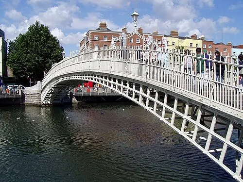 Ha'penny Bridge Landmark, Dublin City5.2 km N
-
National Stadium Landmark, Dublin City3.4 km N
-
Collins Barracks Museum, Dublin City5.4 km N
-
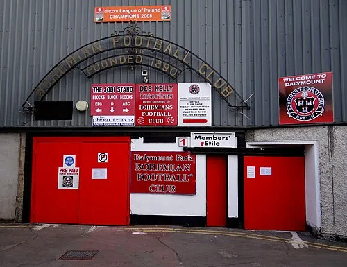 Dalymount Park Landmark, Dublin City6.8 km N
Other cities and towns in South Dublin
-
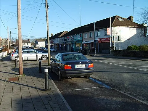 Palmerstown Town, South Dublin8.4 km NW
-
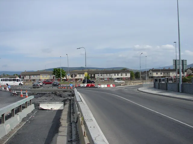 Jobstown Town, South Dublin8.7 km W
-
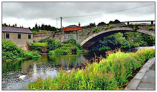 Lucan Town, South Dublin13 km NW
-
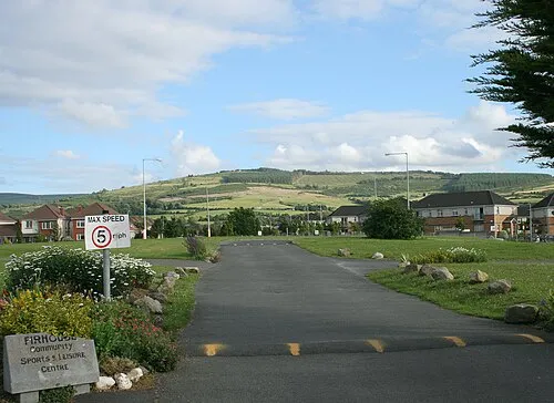 Firhouse Town, South Dublin4.3 km SW
-
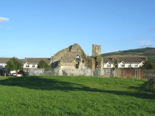 Oldbawn Town, South Dublin6.3 km SW
-
Ballyboden Town, South Dublin3.2 km SW
Sources & licences
Data last updated: · 2 independent sources