Baurtregaum
Local name: Barr Trí gCom
Located in County Kerry, Munster Coordinates: 52°12′25″ N 9°49′46″ W
- Elevation
- 851 m
- above sea level
- Local time
- UTC+00:00
- Europe/Dublin · UTC+00:00
About Baurtregaum
Baurtregaum is a mountain. Location: County Kerry, Munster. Elevation: 851 m.
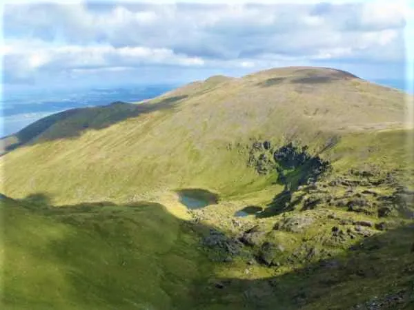
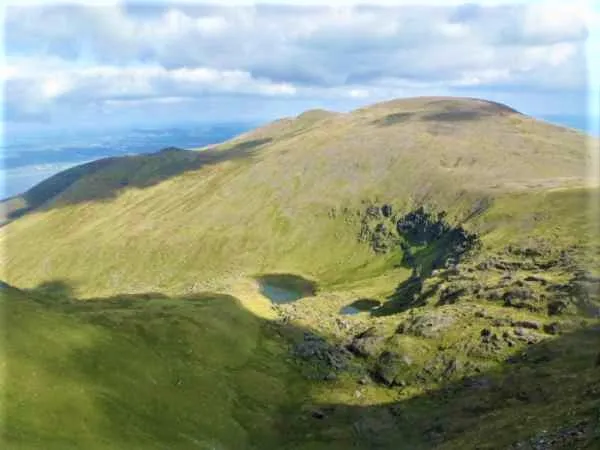
Baurtregaum (Irish: Barr Trí gCom, meaning 'top of the three hollows') at 851 metres (2,792 ft), is the 13th–highest peak in Ireland on the Arderin scale, and the 18th–highest peak on the Vandeleur-Lynam scale. Baurtregaum is situated at the centre of the massif of the Slieve Mish Mountains on the Dingle Peninsula in County Kerry, Ireland. It is the tallest mountain of the Slieve Mish range, with a number of major subsidiary summits.
Read more on Wikipedia Text: Wikipedia contributors · CC BY-SA 4.0 · shortened
At a glance
- Topographic prominence
- 643 m
Source: Wikidata
In comparison
- No. 17 of 2106 mountains in Ireland by elevation
- 32 sights and natural places within 10 km Baurtregaum NW Top, Castle Hill
Nearest towns and villages
Nearby attractions & nature
Everything nearby-
Baurtregaum NW Top Mountain, County Kerry0.7 km N
-
Gearhane Mountain, County Kerry1.8 km W
-
Castle Hill Mountain, County Kerry1.5 km SE
-
Caherconree Mountain, County Kerry1.7 km W
-
Glanbrack Mountain Mountain, County Kerry2.2 km E
-
Baurtregaum Far NE Top Mountain, County Kerry2.3 km NE
-
Gortaleen Mountain Mountain, County Kerry3.1 km S
-
 Slieve Mish Mountains Mountain, County Kerry4.4 km E
More nature in Ireland
-
 Caherbla Mountain, County Kerry3.6 km SW
-
Shanahill Mountain, County Kerry3.6 km SE
-
Knockauncorragh Mountain, County Kerry4.1 km E
-
Lack Mountain Mountain, County Kerry5.4 km SW
-
Corrin Mountain, County Kerry6.5 km W
-
Moanlaur Mountain, County Kerry6.8 km SW
Sources & licences
Data last updated: · 2 independent sources