Slieve Mish Mountains
Located in County Kerry, Munster Coordinates: 52°12′00″ N 9°46′00″ W
- Elevation
- 380 m
- above sea level
- Local time
- UTC+00:00
- Europe/Dublin · UTC+00:00
About Slieve Mish Mountains
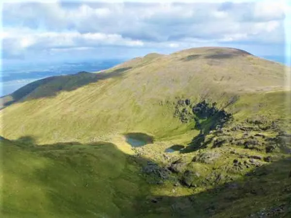
Slieve Mish Mountains is a mountain. Location: County Kerry, Munster. Elevation: 380 m.
Slieve Mish Mountains (Irish: Sliabh Mis, meaning '[possibly] mountains of Mis'), is a predominantly sandstone mountain range at the eastern end of the Dingle Peninsula in County Kerry, Ireland. Stretching 19 kilometres (12 miles), from the first major peak of Barnanageehy outside of Tralee in the east, to Cnoc na Stuaice near Central Dingle in the west, the range has over 17 material peaks (e.g.
Read more on Wikipedia Text: Wikipedia contributors · CC BY-SA 4.0 · shortened
At a glance
- Length
- 19 km
- Area
- 97.9 km²
Source: Wikidata
In comparison
- No. 861 of 2106 mountains in Ireland by elevation
- 36 sights and natural places within 10 km Barnanageehy, Knockauncorragh
Nearest towns and villages
-
Boolteens Village, County Kerry2.2 km SE
-
Blennerville Village, County Kerry6 km N
-
Milltown Village, County Kerry6.5 km SE
-
Castlemaine Village, County Kerry5.9 km SE
-
White Gate Cross Roads Village, County Kerry3.3 km S
-
Tralee City, County Kerry9 km NE
Nearby attractions & nature
Everything nearby-
Knockauncorragh Mountain, County Kerry2 km N
-
Barnanageehy Mountain, County Kerry1.6 km NE
-
Glanbrack Mountain Mountain, County Kerry2.2 km NW
-
Quarry Hill Mountain, County Kerry2.6 km E
-
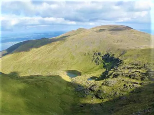 Baurtregaum Mountain, County Kerry4.4 km W
-
Shanahill Mountain, County Kerry3.4 km SW
-
Baurtregaum Far NE Top Mountain, County Kerry3.3 km NW
-
Castle Hill Mountain, County Kerry3.7 km W
More nature in Ireland
-
Knockmichael Mountain Mountain, County Kerry4.7 km NE
-
Gortaleen Mountain Mountain, County Kerry5.7 km W
-
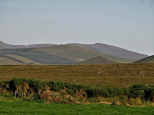 Caherbla Mountain, County Kerry7.1 km W
-
Gearhane Mountain, County Kerry6.1 km W
-
Knockawaddra Mountain, County Kerry6.2 km E
-
Knockmoyle Mountain, County Kerry3.8 km E
Sources & licences
Data last updated: · 2 independent sources